Established Camping
Coffee Pot Spring
About
National Forest
White River National Forest
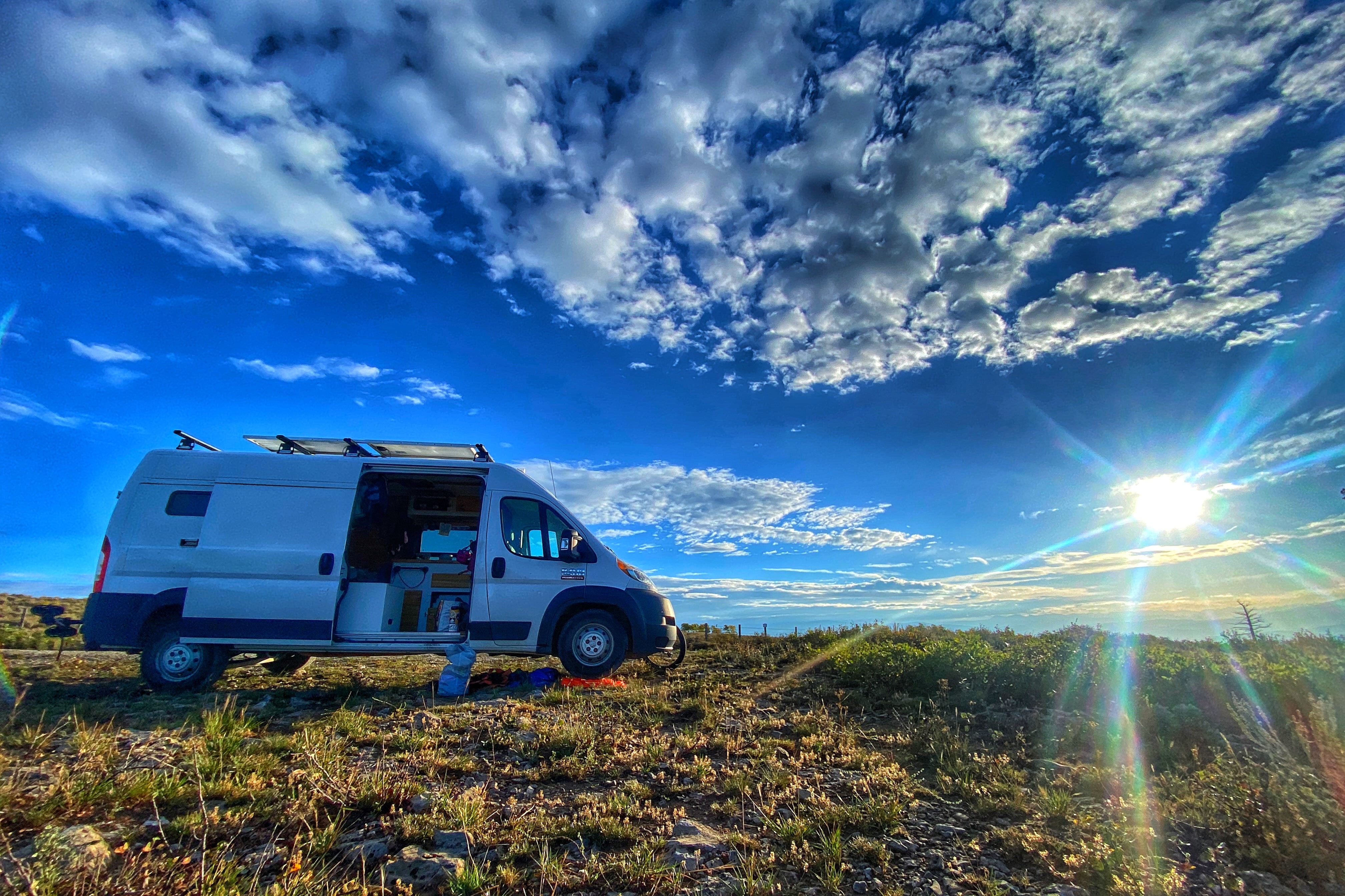
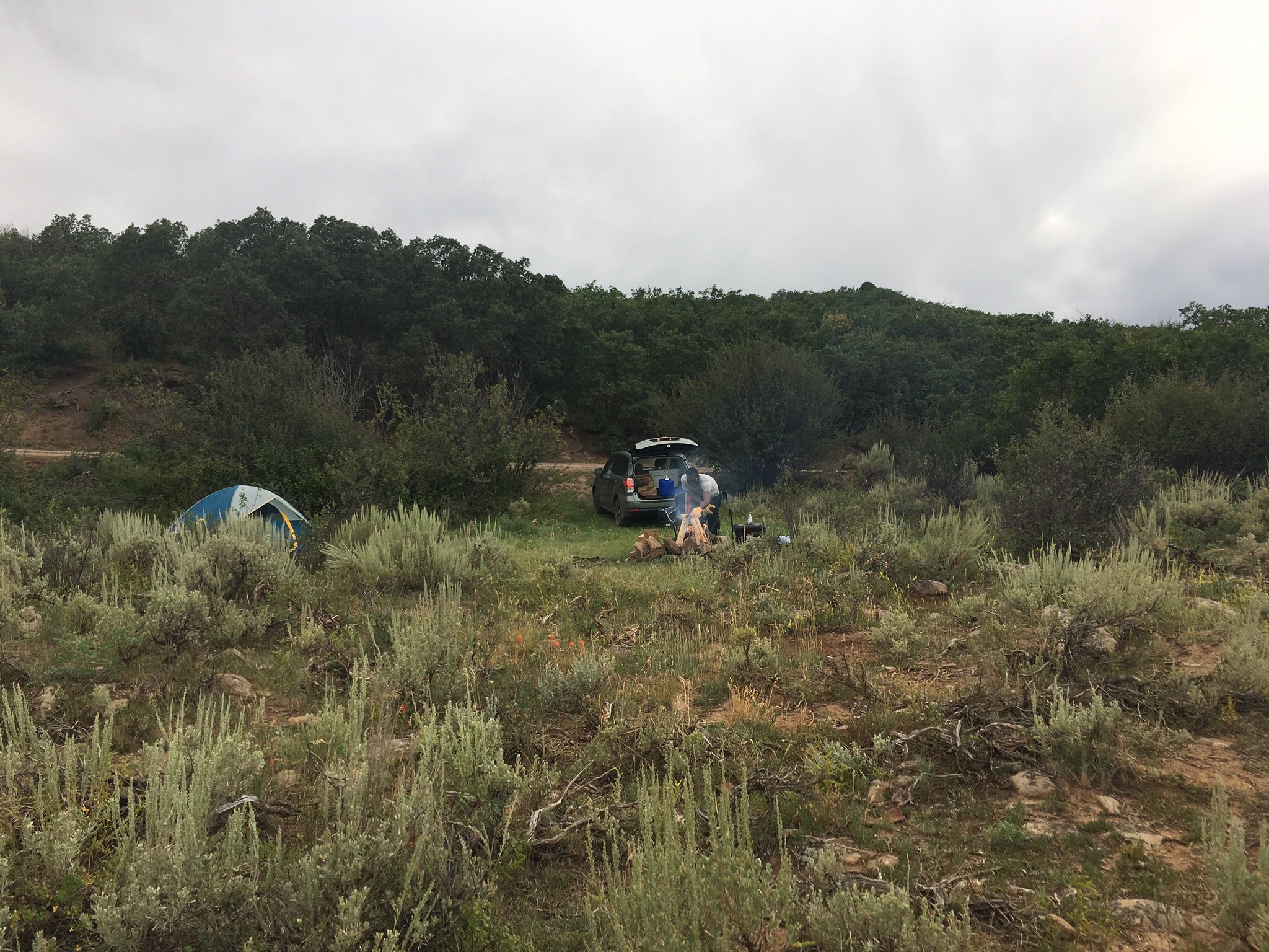
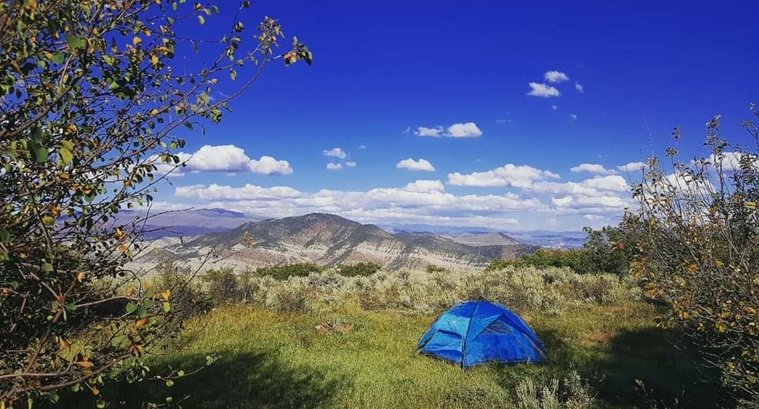
**Bear activity has been increasing. For this reason a "food storage order" is in effect at all developed campgrounds on the Eagle/Holy Cross Ranger District, and the Piney Guard Station, Tigiwon Lodge, Mount of the Holy Cross Overlook, Homestake Road FSR 703, and Nolan Creek Road. This order requires all food and refuse to be stored in hard-sided vehicles, approved bear-resistant containers, or supended at least 10 feet clear of the ground at all points and four feet horizontally from any supporting tree or pole. This order has been issued to provide for public safety and wildlife conservation. Hopefully it will reduce wildlife habituation problems. Click here to read food storage order. ** Coffee Pot Spring Campground is located on a south-facing slope at the edge of an aspen, spruce and fir forest overlooking an open meadow and 3 snowcapped mountain ranges beyond. Coffee Pot Spring heads French Creek, which runs through the west side of the campground. Each site has a fairly level driveway capable of accommodating RV's or vehicles with trailers less than 30 feet long. Six of the sites are in the open and 3 are partially shaded. There are a number of 4-wheel drive roads farther up the Coffee Pot Road. Vehicles must stay on routes designated as open for their type of use. A mile back down the Coffee Pot Road is the Deep Creek Canyon Overlook.
Location
Coffee Pot Spring is located in Colorado
Directions
From Gypsum, CO, take Interstate 70 west and go 5.3 miles to Exit 133, Dotsero, Co. At end of exit ramp, go north on Frontage Rd. for 0.8 miles to a stop sign and Sweetwater/Burns sign (County Rt. 301). Turn Right at sign onto Rt. 301 and go 1.7 miles to Forest Access sign (Coffee Pot Rd.). Turn left at sign onto dirt and gravel road (later identified as Forest Rt. 600) and go 16.7 miles to campground on left.
Coordinates
39.6760008 N
107.20400027 W
Access
- Drive-InPark next to your site
Stay Connected
- WiFiUnknown
- VerizonPoor
- AT&TUnknown
- T-MobileUnknown
Site Types
- Tent Sites
- RV Sites
- Group
Features
For Campers
- Phone Service
- Toilets
- Alcohol
- Pets
- Fires

