Fort Wilkins Historic State Park, near Copper Harbor, Michigan, is a fantastic spot for those looking to immerse themselves in nature and history. The campground offers a mix of tent and RV sites, many of which come with electric hookups, making it convenient for all types of campers.
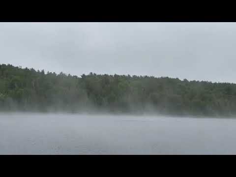
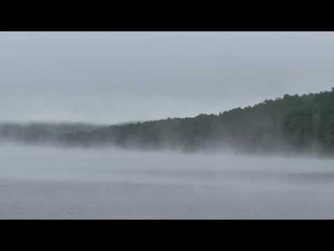
Visitors rave about the beautiful surroundings, with lush forests and the serene Lake Fanny Hooe right at your doorstep. The park is known for its peaceful atmosphere, especially on the west side where sites are more spaced out and shaded by trees. As one camper noted, “The west campground is wonderful!! They are spacious and with trees between sites.”
For those interested in history, the reconstructed 1844 fort is a must-see, providing a glimpse into the past. The area is also perfect for hiking, with trails leading to scenic overlooks and the charming town of Copper Harbor just a short distance away. Campers appreciate the clean facilities, including restrooms and hot showers, and the friendly staff who are always ready to help with local tips.
While cell service is spotty, many find it refreshing to disconnect and enjoy the natural beauty around them. Whether you're stargazing at night or exploring the nearby trails, Fort Wilkins offers a memorable camping experience that keeps visitors coming back year after year.
Description
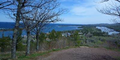
Fort Wilkins Historic State Park, located in the northern tip of the Keweenaw Peninsula, features a modern campground, trails, a historical fort with a living history program, two 1860s lighthouses on Lake Superior and much more.
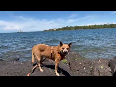
Visitors will enjoy a quarter-mile of rocky Lake Superior shoreline, Lake Fanny Hooe and a quarter-mile of sandy beach on Lake Manganese.
The park features a restored 1844 army military outpost, including 19 buildings, with a living history program provided by the Michigan History Center. Visitors can experience a look back at life on the northern frontier during the mid-1800s and a time when soldiers were stationed in Michigan's Upper Peninsula. Michigan Recreation Passport is required for vehicle entry into state parks and recreation areas, state boat launches, state forest campgrounds and state trail parking lots. The Michigan Recreation Passport does not cover local, county, municipal, or metropolitan parks or recreation areas. Learn more: https://www.michigan.gov/dnr/buy-and-apply/rec-pp
RV Road Trip Guides


Location
Public CampgroundFort Wilkins Historic State Park — Fort Wilkins State Historic Park is located in Michigan
Directions
Located on US Hwy 41 approximately 1 mile east of Copper Harbor; Located 35 miles north of Calumet and 49 miles north of Houghton.
Address
15223 U.S Highway 41
Copper Harbor, MI 49950
Coordinates
47.46699224 N
87.87184675 W
Connectivity
 T-MobileNo Coverage
- VerizonNo CoverageVerified by 7 usersLast on 4/3/26
- AT&TNo Coverage
Connectivity
- T-MobileNo Coverage
- VerizonNo CoverageVerified by 7 usersLast on 4/3/26
- AT&TNo Coverage
Access
- Drive-InPark next to your site
Site Types
- Standard (Tent/RV)
Features
For Campers
- Market
- Trash
- Picnic Table
- Firewood Available
- Phone Service
- Reservable
- WiFi
- Showers
- Drinking Water
- Electric Hookups
- Toilets
- Alcohol
- Pets
- Fires
For Vehicles
- Sanitary Dump
- Sewer Hookups
- Water Hookups
- Pull-Through Sites
- 50 Amp Hookups
- Big Rig Friendly
Contact
General Info
Reservations
Drive Time
- 4 hrs 13 min from Wausau, WI
- 4 hrs 36 min from Green Bay, WI
- 4 hrs 51 min from Duluth, MN
- 9 hrs 28 min from Traverse City, MI