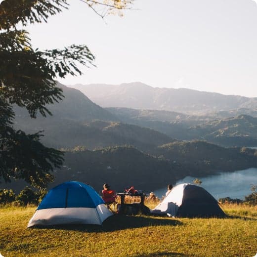
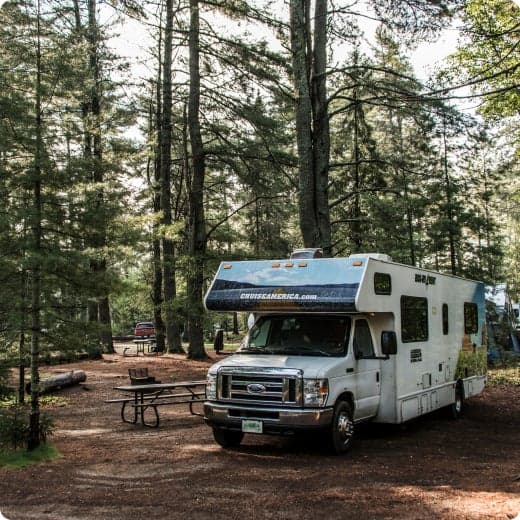
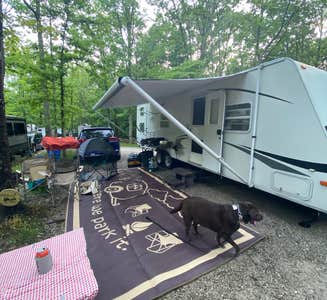
Top RV Camping near Rockholds, KY
Looking for the best Rockholds RV camping? With The Dyrt, it's easy to find campgrounds near Rockholds for RVs. These scenic and easy-to-reach Rockholds campsites are perfect for RV campers.

Looking for the best Rockholds RV camping? With The Dyrt, it's easy to find campgrounds near Rockholds for RVs. These scenic and easy-to-reach Rockholds campsites are perfect for RV campers.


$33 - $37 / night
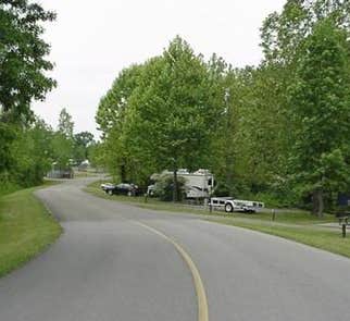


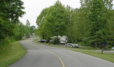
Blue Heron Campground is a rustic and spacious campground, situated on the Kentucky side of The Big South Fork National River and Recreation Area--a vast and scenic expanse of land that offers visitors countless recreational activities.
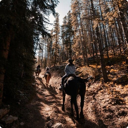
Numerous trails snake through the Recreation Area, offering mountain biking, hiking and horseback riding for visitors. The main river of the Big South Fork is also a short drive away, offering fishing opportunities.
Numerous trails snake through the Recreation Area, offering mountain biking, hiking and horseback riding for visitors. The main river of the Big South Fork is also a short drive away, offering fishing opportunities.
The Big South Fork is located in north central Tennessee and southeastern Kentucky in some of the most rugged terrain of the Cumberland Plateau. The park encompasses approximately 125,000 acres of both rocky gorges and forested plateaus. Numerous pristine streams unite with the free-flowing Big South Fork of the Cumberland River. Over thousands of years, this ceaselessly moving water has carved the sandstone of the plateau into impressive cliffs, arches and chimneys that are found throughout the park.
Just a few miles from the campground is Blue Heron Mine, also known as Mine 18, a historic abandoned mining town that has been rebuilt as an outdoor museum. Visitors can hear audio presentations from actual people who lived in the community in the 1950s. The Big South Fork Scenic Railway Depot is located about 9 miles away in the town of Stearns, which offers train rides and other educational opportunities for campers. More information can be found online at https://bsfsry.com. Additional attractions include the Daniel Boone National Forest and Cumberland Falls State Resort Park, offering additional recreation opportunities.
$35 / night
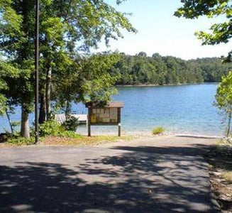


Holly Bay, located two miles north of the Laurel River Dam, sits on the west side of Laurel River Lake. Visitors enjoy the campground for its proximity to the water and beautifully forested location. Plus, Holly Bay is ideal for activities like power boating, canoeing and fishing. The forest was named after Daniel Boone, a famous frontiersman and explorer who settled in Kentucky in the late 18th century.
Boating and water activities are a big hit. A boat ramp is located a short distance from the campground.Hikers take pleasure in the 4.2-mile Sheltowee Trace Trail that leads from the campground to the dam.
Boating and water activities are a big hit. A boat ramp is located a short distance from the campground.Hikers take pleasure in the 4.2-mile Sheltowee Trace Trail that leads from the campground to the dam.
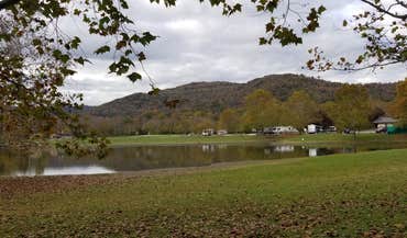
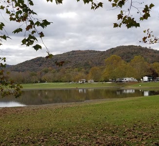
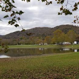
Most campsites are surrounded by a mixture of hardwood trees that provide picture-perfect colors in autumn. Laurel River Lake spans 5,600 acres of deep, clear water and 192 miles of cliff-lined shore. Bountiful hills from the Appalachian foothills create a backdrop for the lake area.
For facility specific information, please call (606) 878-8134.
Head to the Cumberland Falls Trail that begins at Cumberland Falls and ends at the mouth of the Laurel River. This trail is a 30-45 minute drive from the campground.
$38 / night


Bandy Creek is a spacious and modern campground, situated in The Big South Fork National River and Recreation Area--a vast and scenic expanse of land that offers visitors countless recreational activities.
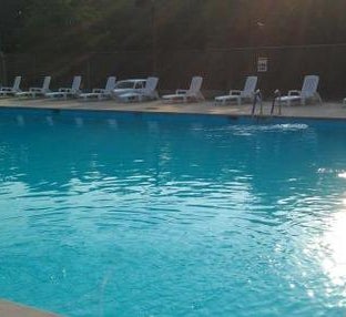
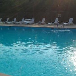
Numerous trails snake through the Recreation Area, offering mountain biking, hiking and horseback riding for visitors. A swimming pool, along with on-site volleyball court, playgrounds and ball fields, make Bandy Creek an ideal spot for families. The main river of the Big South Fork is also a short drive away, offering fishing opportunities.
Numerous trails snake through the Recreation Area, offering mountain biking, hiking and horseback riding for visitors. A swimming pool, along with on-site volleyball court, playgrounds and ball fields, make Bandy Creek an ideal spot for families. The main river of the Big South Fork is also a short drive away, offering fishing opportunities.
The Big South Fork is located in north central Tennessee and southeastern Kentucky in some of the most rugged terrain of the Cumberland Plateau. The park encompasses approximately 125,000 acres including rocky gorges and forested plateaus. Numerous pristine streams unite with the free-flowing Big South Fork of the Cumberland River. Over thousands of years, ceaselessly moving water has carved the sandstone of the plateau into impressive cliffs, arches and chimneys, which are found throughout the park.
Located just under 20 miles from Bandy Creek is the Blue Heron Mine, also known as Mine 18, a historic abandoned mining town that has been rebuilt as an outdoor museum. Visitors can hear audio presentations from actual people who lived in the community in the 1950s.
$140 / night


In March 2019 a record flood devastated the campground, boat ramp, and trails in this area. Bee Rock Campground will remain closed until recreation facilities are safely restored. View Bee Rock Closure Order. To find other campgrounds nearby, contact the London Ranger District at 606-864-4163, Monday-Friday 8 a.m. to 4:30 p.m. Campground facilities at nearby Laurel River Lake open on April 12.Bee Rock Campground, located on London Ranger District, has developed campsites on both sides of the Rockcastle River. The campground is a US Fee Area. The Laurel County side, with 9 sites, is open all year. The Pulaski County side, with 19 sites, is open from mid-April through mid-October. An overlook along Bee Rock Loop Trail provides a scenic view of the rocks and cliffs along Rockcastle River. Bee Rock Boat Rampprovides river access. The campground features Old Sublimity Bridge, a historic structure built by the Civilian Conservation Corp (CCC) in the late 1930s. The stone used in the abutments was quarried from the adjacent sandstone cliffs. The bridge has been restored for foot travel only. The name Bee Rock comes from a local legend which states that a large number of wild honeybees used to live in this area, using a hollow area under this cliff as their hive. Tired of the wild honeybees invading their hives, local beekeepers dynamited the rock, destroying the hive and causing honey to flow down the cliff into the Rockcastle River. Make this page look nicer by submitting photos of your visit to Bee Rock Campground. Learn more... Bee Rock Campground Map Campfires are permitted in fire rings only. Make sure fires are out before retiring at night or when leaving your campsite. Parking is available at campsites, boat ramp and overflow parking area. Restrooms are accessible vault toilets. Drinking water is available except during winter months. No climbing or rappelling from cliffs, arches or other rock formations at Bee Rock Overlook. Low lying areas are prone to flooding, so be alert for flooding when driving, camping or crossing streams in this area. Swift currents and undertows can make swimming and wading very hazardous. View Bee Rock Campground Guide & Map (pdf) Nearby Trails: Bee Rock Loop Trail #529 Rockcastle Narrows Trail #503 Rockcastle Connector Trail #401A Sheltowee Trace Section 25
$8 - $12 / night


$25 - $174 / night


$33 - $37 / night
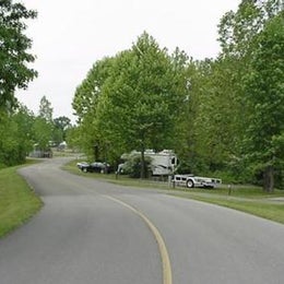
Blue Heron Campground is a rustic and spacious campground, situated on the Kentucky side of The Big South Fork National River and Recreation Area--a vast and scenic expanse of land that offers visitors countless recreational activities.
Numerous trails snake through the Recreation Area, offering mountain biking, hiking and horseback riding for visitors. The main river of the Big South Fork is also a short drive away, offering fishing opportunities.
Numerous trails snake through the Recreation Area, offering mountain biking, hiking and horseback riding for visitors. The main river of the Big South Fork is also a short drive away, offering fishing opportunities.
The Big South Fork is located in north central Tennessee and southeastern Kentucky in some of the most rugged terrain of the Cumberland Plateau. The park encompasses approximately 125,000 acres of both rocky gorges and forested plateaus. Numerous pristine streams unite with the free-flowing Big South Fork of the Cumberland River. Over thousands of years, this ceaselessly moving water has carved the sandstone of the plateau into impressive cliffs, arches and chimneys that are found throughout the park.
Just a few miles from the campground is Blue Heron Mine, also known as Mine 18, a historic abandoned mining town that has been rebuilt as an outdoor museum. Visitors can hear audio presentations from actual people who lived in the community in the 1950s. The Big South Fork Scenic Railway Depot is located about 9 miles away in the town of Stearns, which offers train rides and other educational opportunities for campers. More information can be found online at https://bsfsry.com. Additional attractions include the Daniel Boone National Forest and Cumberland Falls State Resort Park, offering additional recreation opportunities.
$35 / night
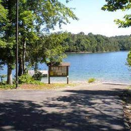
Holly Bay, located two miles north of the Laurel River Dam, sits on the west side of Laurel River Lake. Visitors enjoy the campground for its proximity to the water and beautifully forested location. Plus, Holly Bay is ideal for activities like power boating, canoeing and fishing. The forest was named after Daniel Boone, a famous frontiersman and explorer who settled in Kentucky in the late 18th century.
Boating and water activities are a big hit. A boat ramp is located a short distance from the campground.Hikers take pleasure in the 4.2-mile Sheltowee Trace Trail that leads from the campground to the dam.
Boating and water activities are a big hit. A boat ramp is located a short distance from the campground.Hikers take pleasure in the 4.2-mile Sheltowee Trace Trail that leads from the campground to the dam.
Most campsites are surrounded by a mixture of hardwood trees that provide picture-perfect colors in autumn. Laurel River Lake spans 5,600 acres of deep, clear water and 192 miles of cliff-lined shore. Bountiful hills from the Appalachian foothills create a backdrop for the lake area.
For facility specific information, please call (606) 878-8134.
Head to the Cumberland Falls Trail that begins at Cumberland Falls and ends at the mouth of the Laurel River. This trail is a 30-45 minute drive from the campground.
$38 / night
Bandy Creek is a spacious and modern campground, situated in The Big South Fork National River and Recreation Area--a vast and scenic expanse of land that offers visitors countless recreational activities.
Numerous trails snake through the Recreation Area, offering mountain biking, hiking and horseback riding for visitors. A swimming pool, along with on-site volleyball court, playgrounds and ball fields, make Bandy Creek an ideal spot for families. The main river of the Big South Fork is also a short drive away, offering fishing opportunities.
Numerous trails snake through the Recreation Area, offering mountain biking, hiking and horseback riding for visitors. A swimming pool, along with on-site volleyball court, playgrounds and ball fields, make Bandy Creek an ideal spot for families. The main river of the Big South Fork is also a short drive away, offering fishing opportunities.
The Big South Fork is located in north central Tennessee and southeastern Kentucky in some of the most rugged terrain of the Cumberland Plateau. The park encompasses approximately 125,000 acres including rocky gorges and forested plateaus. Numerous pristine streams unite with the free-flowing Big South Fork of the Cumberland River. Over thousands of years, ceaselessly moving water has carved the sandstone of the plateau into impressive cliffs, arches and chimneys, which are found throughout the park.
Located just under 20 miles from Bandy Creek is the Blue Heron Mine, also known as Mine 18, a historic abandoned mining town that has been rebuilt as an outdoor museum. Visitors can hear audio presentations from actual people who lived in the community in the 1950s.
$140 / night