Overview
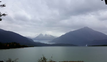
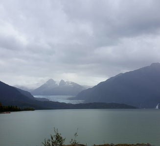
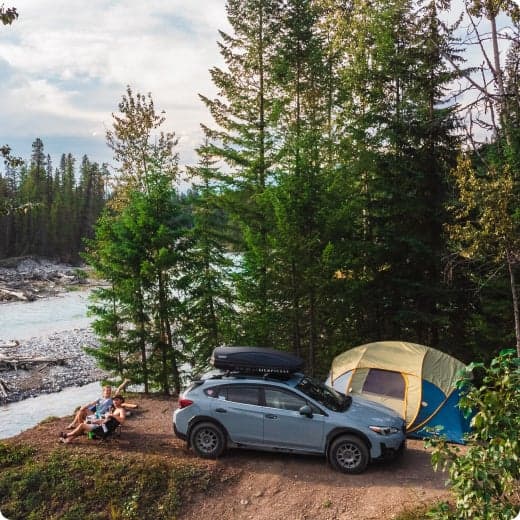
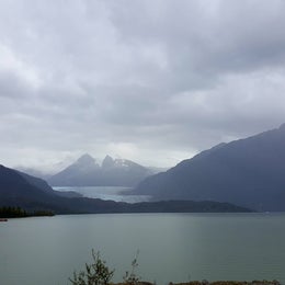
Mendenhall Campground is situated on the shore of Mendenhall Lake, in view of massive Mendenhall Glacier, about 13 miles from downtown Juneau. The site is a popular destination for viewing beautiful scenery and abundant wildlife. Hiking opportunities abound.
Recreation
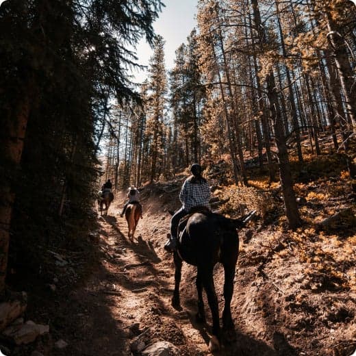
The West Glacier Trail, with an elevation gain of 1,300 feet, can be hiked in 5-6 hours roundtrip. The trailhead is a half mile from the campground entrance by road or on the Aak'w Sit' Trail. The .4 mile Tolch Rock Trail is in this vicinity. The campground has several paths in it with interpretive signs relating facts about the area wildlife and environment.
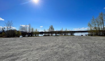
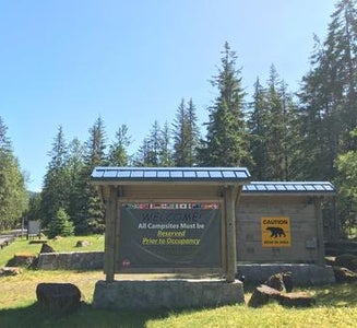
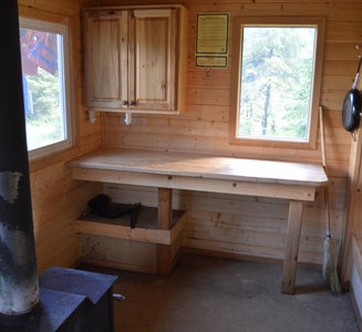
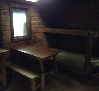
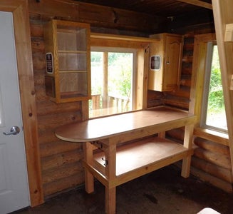
Facilities
The West Glacier Trail, with an elevation gain of 1,300 feet, can be hiked in 5-6 hours roundtrip. The trailhead is a half mile from the campground entrance by road or on the Aak'w Sit' Trail. The .4 mile Tolch Rock Trail is in this vicinity. The campground has several paths in it with interpretive signs relating facts about the area wildlife and environment.
Natural Features
The campground is situated on the shore of Mendenhall Lake at about 100 feet elevation. Mendenhall Glacier lies to the north and the Mendenhall River flows on the east. On either side of the campground, the mountains rise from 4,000 to to 7,000 feet above the Mendenhall Glacier. The topography is relatively flat and open, consisting of glacial moraines, small lakes and ponds. Forbs and lichens, black cottonwood, Sitka alder, willow and mature spruce hemlock forests cover the area. The forest floor is dotted with blueberry bushes and mosses. At nearly 17 million acres, the Tongass National Forest covers most of Southeast Alaska and is the largest forest in the national forest system. The Tongass surrounds the Inside Passage, the network of waterways that buffer the jagged Alaskan Coast and a cluster of coastline islands. The Tongass offers visitors a chance to view wildlife, including eagles, bears and spawning salmon. Expansive vistas, including fjords, glaciers and mountain peaks fill the area. Much of the forest is a temperate rain forest.
Nearby Attractions
Run the rapids down the Mendenhall River, take a helicopter to the top of the glacier, bicycle or hike in the area. Outfitters offer these services. Many trails can be accessed from the Mendenhall Glacier Visitor Center area, including East Glacier Trail, with an elevation gain of 400 feet, takes 2-3 hours roundtrip. Some of the shorter trails in this area include the 1.7 mile Nugget Falls Trail, where the waterfall drops 377 feet in two tiers onto a sandbar in Mendenhall Lake, the 1.5 mile Moraine Ecology Trail, and the .7 mile Trail of Time.