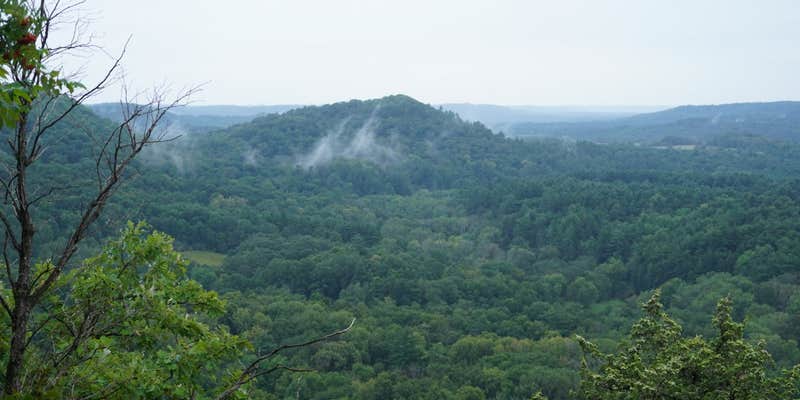
Wildcat Mountain State Park Campground sits atop a ridge overlooking the Kickapoo River Valley, accessible via steep roads that require careful navigation. The Wisconsin Department of Natural Resources manages this 30-site campground year-round, offering both drive-in sites with electric hookups and walk-in sites accessed by provided carts. "The campground is on top of the ridge, which means in the morning you will look out over a fog shrouded valley through the trees," explains Brian O..
The walk-in sites draw particular praise from reviewers for their privacy and spacing. Each cart-in site comes with a large cart for gear transport, making the short walk manageable even with substantial equipment. Sites 103 and 104 receive frequent recommendations—103 nestled in woods with vault toilets nearby, while 104 faces east toward prairie views with morning sun and afternoon shade. The electric sites occupy an open grassy area with less privacy between neighbors.
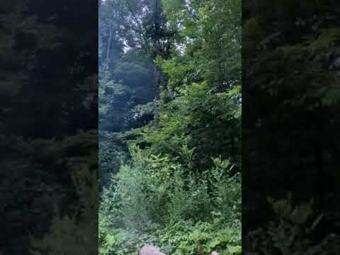
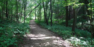
Campers access extensive hiking and horseback riding trails directly from the campground, including the Old Settlers Trail with elevation changes and an observation point overlooking the valley. The park connects to Kickapoo River canoeing and kayaking, though the river landing sits three miles down steep roads from the campground. An ice cave trail offers a shorter walking option near the sites.
The shower house consistently earns positive reviews for cleanliness, featuring hot water and clear posted instructions. "Bathrooms were super clean for a campground," notes Kristi D.. Firewood sells for $5 per bundle at the ranger station. Reservations are available, and the town of Ontario provides basic supplies less than two miles away. For additional overnight options, campers can explore places to camp near Ontario or consider Kickapoo Valley Reserve five miles southwest.
RV Road Trip Guides


Location
Public CampgroundWildcat Mountain State Park Campground is located in Wisconsin
Directions
From the north, take State Highway 131 south from Interstate Highway 94 near Tomah about 25 miles to Ontario. From the south, take State Highway 131 north from US Highway 14 at Readstown about 23 miles to County Highway F. Go right (east) on Highway F about 1.5 miles to State Highway 33. Turn left (west) on Highway 33 and go about 0.6 mile to the park entrance, which will be on your right.
Coordinates
43.69800078 N
90.57500067 W
Connectivity
 T-Mobile5GExcellent Coverage
 VerizonLTESome CoverageVerified by 2 usersLast on 4/3/26
 AT&TNo Coverage
Connectivity
- T-Mobile5GExcellent Coverage
- VerizonLTESome CoverageVerified by 2 usersLast on 4/3/26
- AT&TNo Coverage
Access
- Drive-InPark next to your site
- Walk-InPark in a lot, walk to your site.
Site Types
- Tent Sites
- RV Sites
- Standard (Tent/RV)
- Group
- Tent Cabin
- Equestrian
Features
For Campers
- ADA Access
- Trash
- Picnic Table
- Firewood Available
- Phone Service
- Reservable
- Showers
- Drinking Water
- Electric Hookups
- Toilets
- Alcohol
- Pets
- Fires
For Vehicles
- Sanitary Dump
- Big Rig Friendly
Drive Time
- 53 min from La Crosse, WI
- 1 hr 37 min from Eau Claire, WI
- 1 hr 51 min from Madison, WI
- 2 hrs 1 min from Dubuque, IA