Underhill State Park Campground, near Underhill, Vermont, is a fantastic spot for those looking to immerse themselves in nature while enjoying some creature comforts. With clean facilities and a peaceful atmosphere, it’s a great base for hiking and exploring the nearby mountains.
The campground offers well-spaced sites that provide a sense of privacy, thanks to the surrounding trees. Campers have noted the convenience of accessible bathrooms and the overall cleanliness of the area, making it a comfortable place to unwind after a day of adventure. One visitor mentioned, “Quiet hours were definitely observed,” which adds to the serene experience.
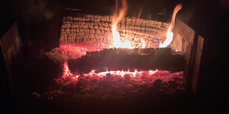
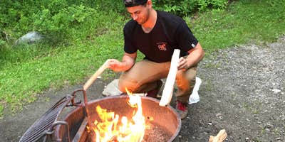
For outdoor enthusiasts, the campground is just a short hike from the main trail leading to Mount Mansfield, making it easy to hit the trails. Plus, the sound of a nearby stream adds to the tranquil ambiance, perfect for those who enjoy the soothing sounds of nature. Campers have also appreciated the availability of firewood and picnic tables, ideal for evening gatherings around the campfire.
If you’re looking for a place to escape the hustle and bustle, Underhill State Park Campground is a solid choice. With its friendly staff and beautiful surroundings, it’s no wonder visitors keep coming back for more.
Description
Underhill is within Vermont's 39,837-acre Mt. Mansfield State Forest. On the headwaters of the Brown's River, at about 2,000 feet elevation, the park lies on the west slope of 4,300 feet Mt. Mansfield, the state's highest peak. Just over the summit ridge is the Stowe ski area, one of North America's original ski resorts.
The elevation and corresponding exposure to harsh climatic conditions have resulted in some relatively unusual vegetation types along the mountain's summit ridge. The low, stunted-plants found in the alpine tundra near the summit, very rare in New England, are more typical of types found on broad expanses of Arctic tundra a thousand miles farther north. These plants are fragile (if you hike to the summit, please stay on marked trails).
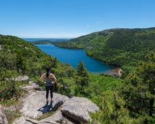
The park is probably best known for its hiking. There are four trails to the summit ridge of Mt. Mansfield from Underhill State Park. Walking up the gated road from the park headquarters, the trails begin branching off shortly above the group camp area. The Sunset Ridge Trail, 3 miles to the summit, is the most popular. Vermont’s Long Trail traverses the summit ridge and, with several trails from the other side of the mountain, many loops are possible. Hiking information and trail maps are available at the park headquarters.
Facilities / Amenities The CCC-built pavilion has a fireplace and picnic tables The CCC-built pavilion has a fireplace and picnic tables The upper camp area, about 3/4 of a mile above the ranger station, has 7 lean-to sites and 2 tent sites, pit toilets, and is reserved for organized group-use. In the lower camp area, around the contact station, are 11 tent sites and 6 lean-to sites. There is cold water and flush toilets in the restrooms, but there are no showers.
Access to all campsites requires a short walk. Campsites are not accessible by vehicle.
The park also has a CCC-built sheltered tentsite tentsite that can be rented for up to a maximum of 8 people. The site comes with a picnic table and the shelter fireplace is to be used in lieu of a fire ring. Additionally, there are 2 standing grills adjacent to the shelter. The sheltered tentsite is $51 per night plus the $8 reservation fee.
Off-season access: The park gate remains open after park closes until the first snowfall. Once it snows, the gate is closed until there is sufficient snowfall to ski into the park, then it is reopened until spring melt.
RV Road Trip Guides

Location
Public CampgroundUnderhill State Park Campground is located in Vermont
Directions
From I-89 Northbound: Take exit 11 and turn right at W Main ST/ US RT 2. Turn slightly to the right, onto River Rd./ VT Route 117. In about 260', turn right onto Governor Peck Highway and follow to end. At stop sign, turn left onto Browns Trace Road and follow to end (about 5.3 miles). At stop sign turn right onto Route 15 for 1/2 mile. Turn right onto River Road. Continue onto Pleasant Valley Rd (2.7 miles). Turn right onto Mountain Road and follow for 3 miles to end.
Coordinates
44.53000051 N
72.83900075 W
Connectivity
 T-Mobile5GGood Coverage
 VerizonLTESome Coverage
- AT&TLTESome Coverage
Connectivity
- T-Mobile5GGood Coverage
- VerizonLTESome Coverage
- AT&TLTESome Coverage
Access
- Walk-InPark in a lot, walk to your site.
Site Types
- Tent Sites
- Standard (Tent/RV)
- Dispersed
- Group
Features
For Campers
- ADA Access
- Trash
- Picnic Table
- Firewood Available
- Phone Service
- Reservable
- Drinking Water
- Toilets
- Pets
- Fires
Drive Time
- 34 min from Burlington, VT
- 2 hrs 28 min from Glens Falls, NY
- 2 hrs 37 min from Manchester, NH
- 3 hrs 54 min from Lewiston, ME


