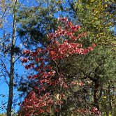
Amicalola Falls State Park Camping, near Dawsonville, Georgia, is a fantastic place to unwind and soak in the beauty of nature. With around 24 sites, this campground offers a cozy atmosphere where you can enjoy a peaceful retreat while being just a stone's throw from the stunning Amicalola Falls.
The campground is well-kept and features amenities like electric hookups and clean bathhouses, making your stay comfortable. Visitors rave about the spacious sites that provide a sense of seclusion, even in an open setting. One camper noted, “The spaces are well-spaced and feel secluded despite mostly open air.”
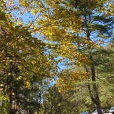
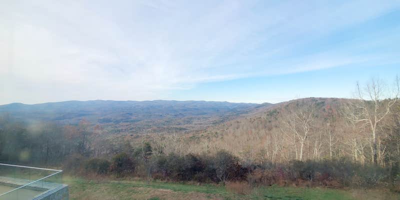
Outdoor enthusiasts will find plenty to do here, from hiking the trails to fishing in nearby ponds. The lodge is just a quick drive away, offering dining options with breathtaking views. As one happy camper shared, “There are plenty of hiking trails and the waterfall is great.”
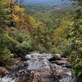
If you're up for a challenge, be prepared for a steep climb to the falls, but the views are worth every step. Whether you're tent camping, RVing, or trying out one of the new glamping tents, Amicalola Falls State Park Camping is a great choice for a memorable outdoor experience.
RV Road Trip Guides


Location
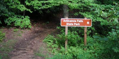
Public CampgroundAmicalola Falls State Park Camping is located in Georgia
Directions
Located 15 miles northwest of Dawsonville on Highway 52. Take Highway 53 west to Highway 183 north to Highway 52 east.
Address
240 Amicalola Falls State Park Rd
Dawsonville, GA 30534
Coordinates
34.55400077 N
84.25100055 W
Connectivity
 T-MobileNo CoverageVerified by 1 userLast on 4/3/26
 VerizonLTESome CoverageVerified by 1 user
- AT&TLTESome CoverageVerified by 1 userLast on 11/14/25
Connectivity
- T-MobileNo CoverageVerified by 1 userLast on 4/3/26
- VerizonLTESome CoverageVerified by 1 user
- AT&TLTESome CoverageVerified by 1 userLast on 11/14/25
Access
- Drive-InPark next to your site
- Walk-InPark in a lot, walk to your site.
- Hike-InBackcountry sites.
Site Types
- Tent Sites
- RV Sites
- Standard (Tent/RV)
- Group
- Cabins
- Tent Cabin
- Yurts
Features
For Campers
- Market
- ADA Access
- Trash
- Picnic Table
- Firewood Available
- Phone Service
- Reservable
- WiFi
- Showers
- Drinking Water
- Electric Hookups
- Toilets
- Alcohol
- Pets
- Fires
For Vehicles
- Sanitary Dump
- Sewer Hookups
- Water Hookups
- Pull-Through Sites
- 50 Amp Hookups
Drive Time
- 43 min from Gainesville, GA
- 1 hr 14 min from Atlanta, GA
- 1 hr 30 min from Rome, GA
- 1 hr 35 min from Cleveland, TN