Established Camping
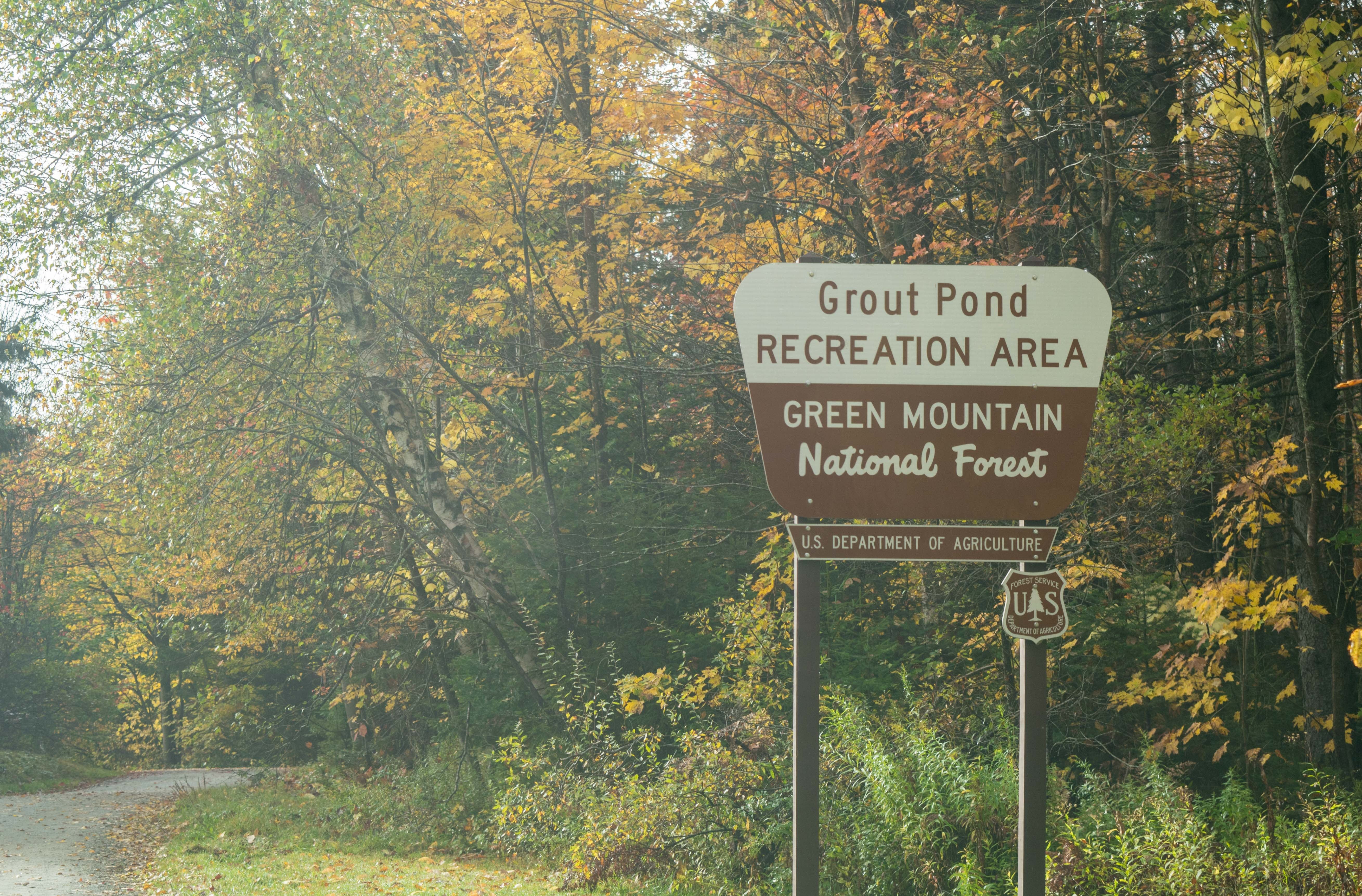
Grout Pond Recreation Area
About
National Forest
Green Mountain National Forest
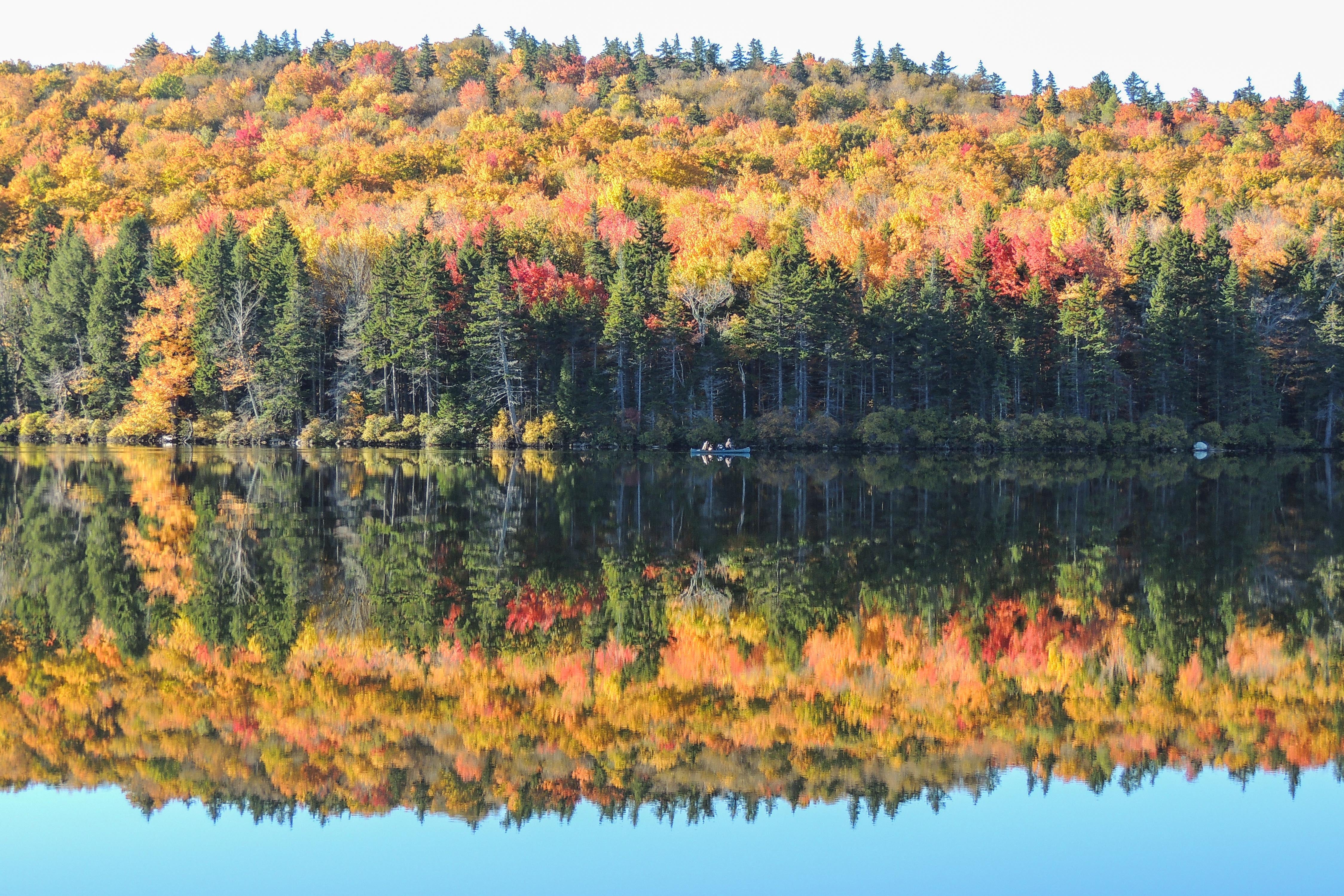
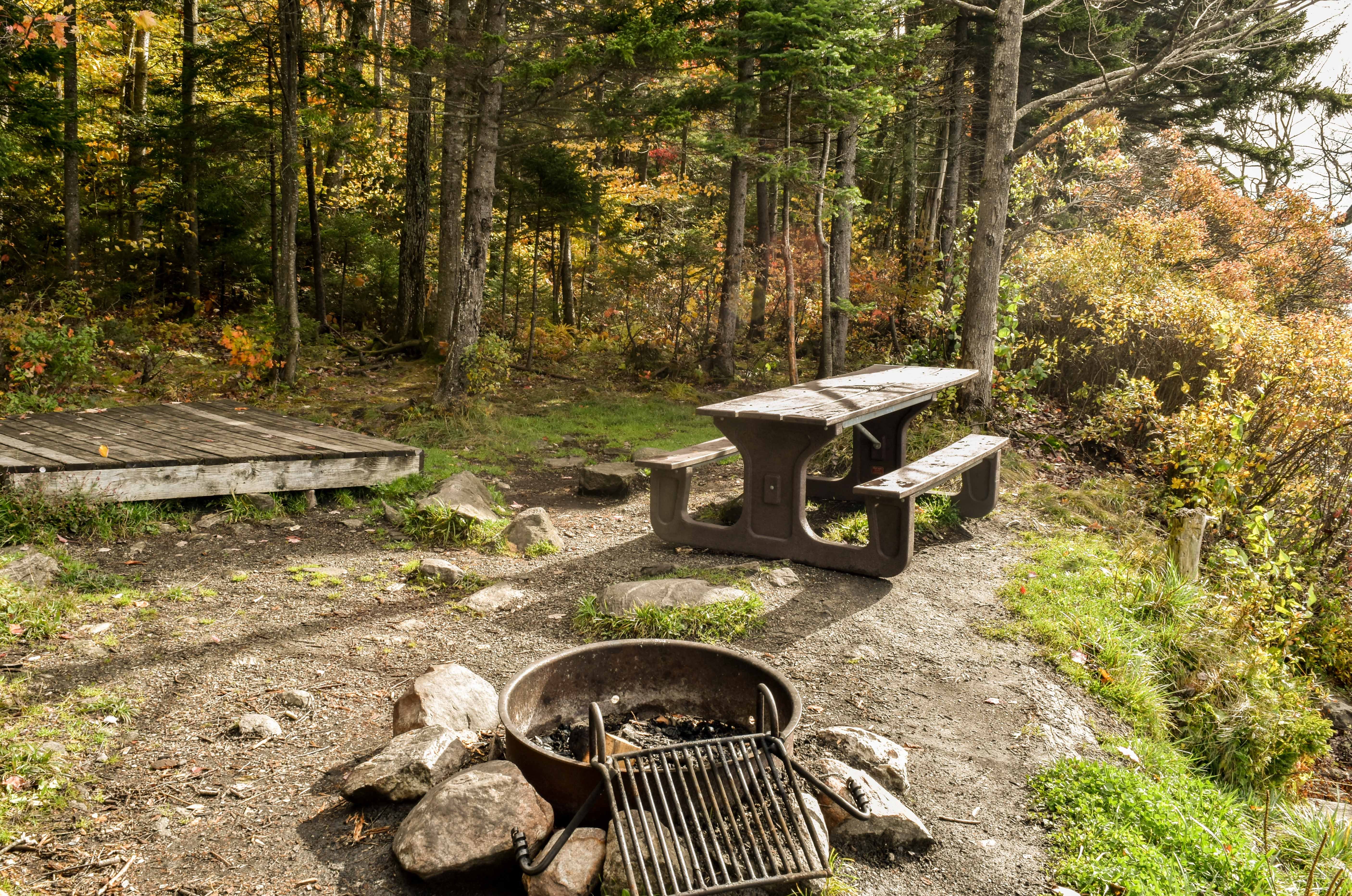
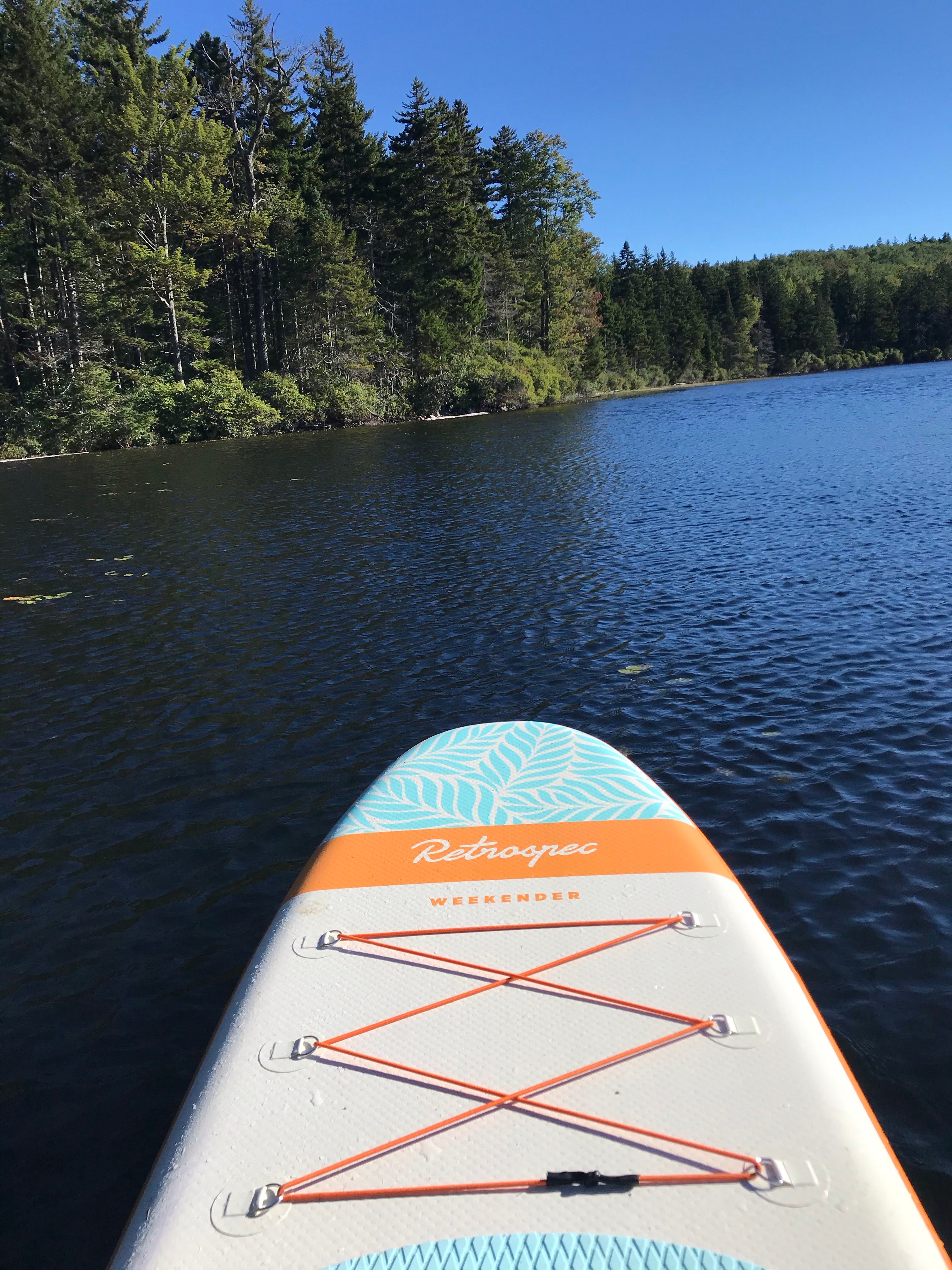
Grout Pond Recreation Area is 1,600 acres of the Green Mountain National Forest set aside for year-round recreation. Grout Pond is a very popular destination for camping, hiking, canoeing, and fishing. Over 10.0 miles of multipurpose trails are available through relatively flat, low-lying terrain. The trails are marked with blue diamond blazes, are available for year-round hiking, but can be extremely wet and muddy at times. Trails connect with a more extensive trail system of nearby Somerset Reservoir. In winter, the trails are open to ungroomed skiing and are rated easy to more difficult. Snowmobiles are restricted to Forest Road 262 and a portion of the West Trail. These trails are marked with orange diamond blazes. Grout Pond Trails Camp Loop - .9 miles, Easy East Trail - 3.2 miles, Easy-Moderate Hill Top Trail .8 miles Moderate Pond Loop 2.6 miles Easy West Trail 2.8 mies Moderate Additional Resources Grout Pond Recreation Area Brochure and Map
Location
Grout Pond Recreation Area is located in Vermont
Directions
From Route 7 in Arlington , take the Arlington exit and turn west on Route 313 at the end of the exit ramp. Take the first right onto South Road and follow to the end. Turn right onto Kansas Road and follow over Rte 7 and over a two-lane bridge. After the bridge turn right and travel east on the Kelley Stand Road (aka: Stratton-Arlington Road) for about 10.2 miles. Turn right onto Forest Road 262 and follow to the end. From Route 100 in West Wardsboro , travel west on the Stratton-Arlington Road (aka: Kelley Stand Road) for about 6 miles and turn left onto Forest Road 262. Follow FR 262 to the end.
Coordinates
43.04553003 N
72.95457067 W
Access
- Drive-InPark next to your site
- Walk-InPark in a lot, walk to your site.
- Hike-InBackcountry sites.
- Boat-InSites accessible by watercraft.
Stay Connected
- WiFiUnknown
- VerizonUnknown
- AT&TUnknown
- T-MobileUnknown
Site Types
- Tent Sites
- Standard (Tent/RV)
- Group
Features
For Campers
- ADA Access
- Picnic Table
- Phone Service
- Reservable
- Toilets
- Alcohol
- Pets
- Fires

