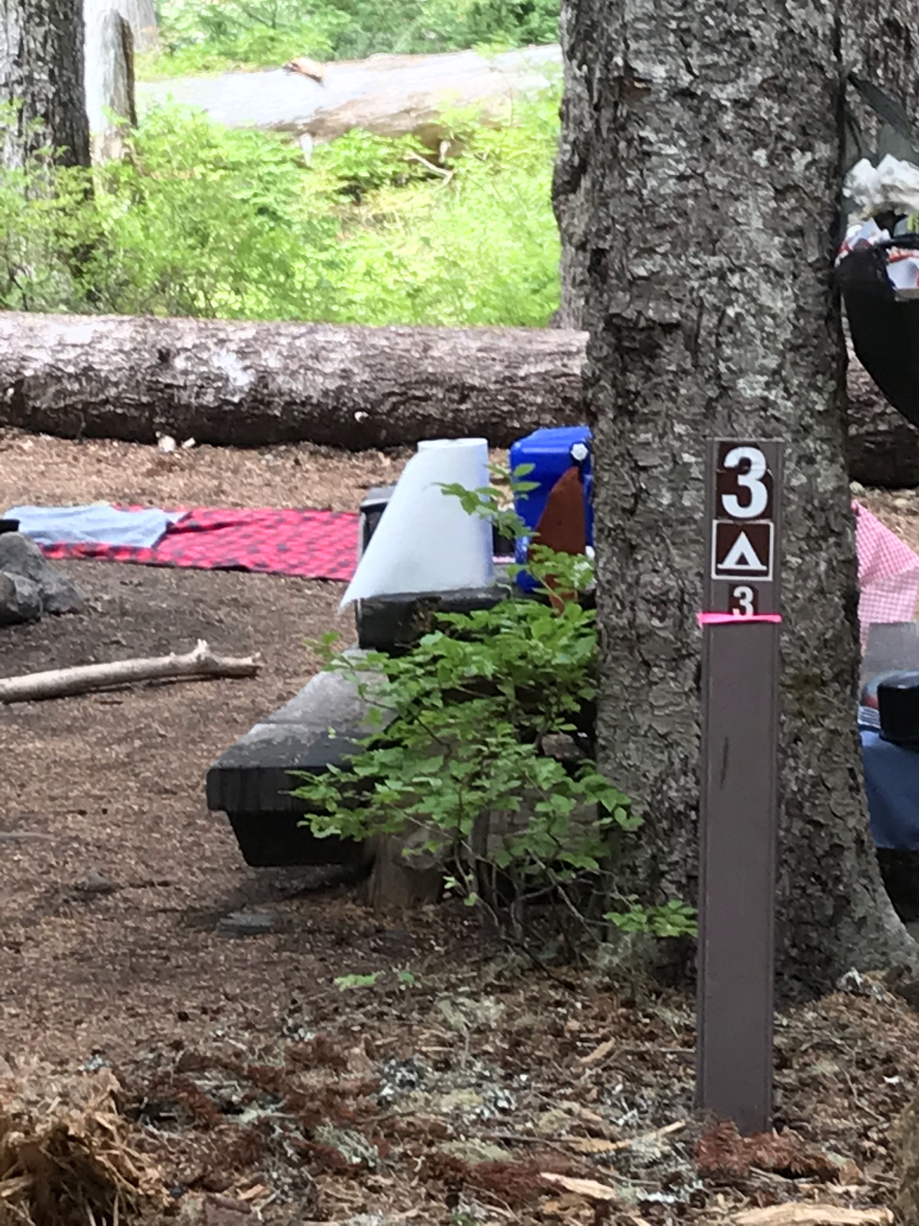
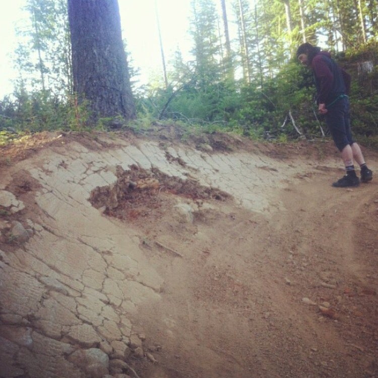
Established Camping
Rainy Lake Campground
About
National Forest
Mt. Hood National Forest
Located on Rainy Lake. Trailhead access to the Mark O Hatfield Wilderness. See also: Rainy Lake Trail 423A, Rainy Wahtum Trail #409, North Lake Trail #423
Location
Rainy Lake Campground is located in Oregon
Directions
From Hood River travel south on OR Hwy 281 Dee Highway (it goes past the Hood River airport) approximately 11 miles to Dee. Bear right at the old Dee Mill Site and cross the East Fork of the Hood River. Turn right again and go 1.2 miles up Punchbowl Road until it crosses the West Fork of the Hood River. The road becomes Dead Point Road (Forest Road 2820) here. Follow Dead Point Road 11 miles until you get to Rainy Lake Campground and trailhead.
Coordinates
45.62605814 N
121.75873218 W
Access
- Drive-InPark next to your site
Stay Connected
- WiFiUnknown
- VerizonUnknown
- AT&TUnknown
- T-MobileUnknown
Site Types
- Tent Sites
- Standard (Tent/RV)
Features
For Campers
- Picnic Table
- Toilets
- Alcohol
- Pets
- Fires

