Established Camping
Turkey Foot Campground
About
National Forest
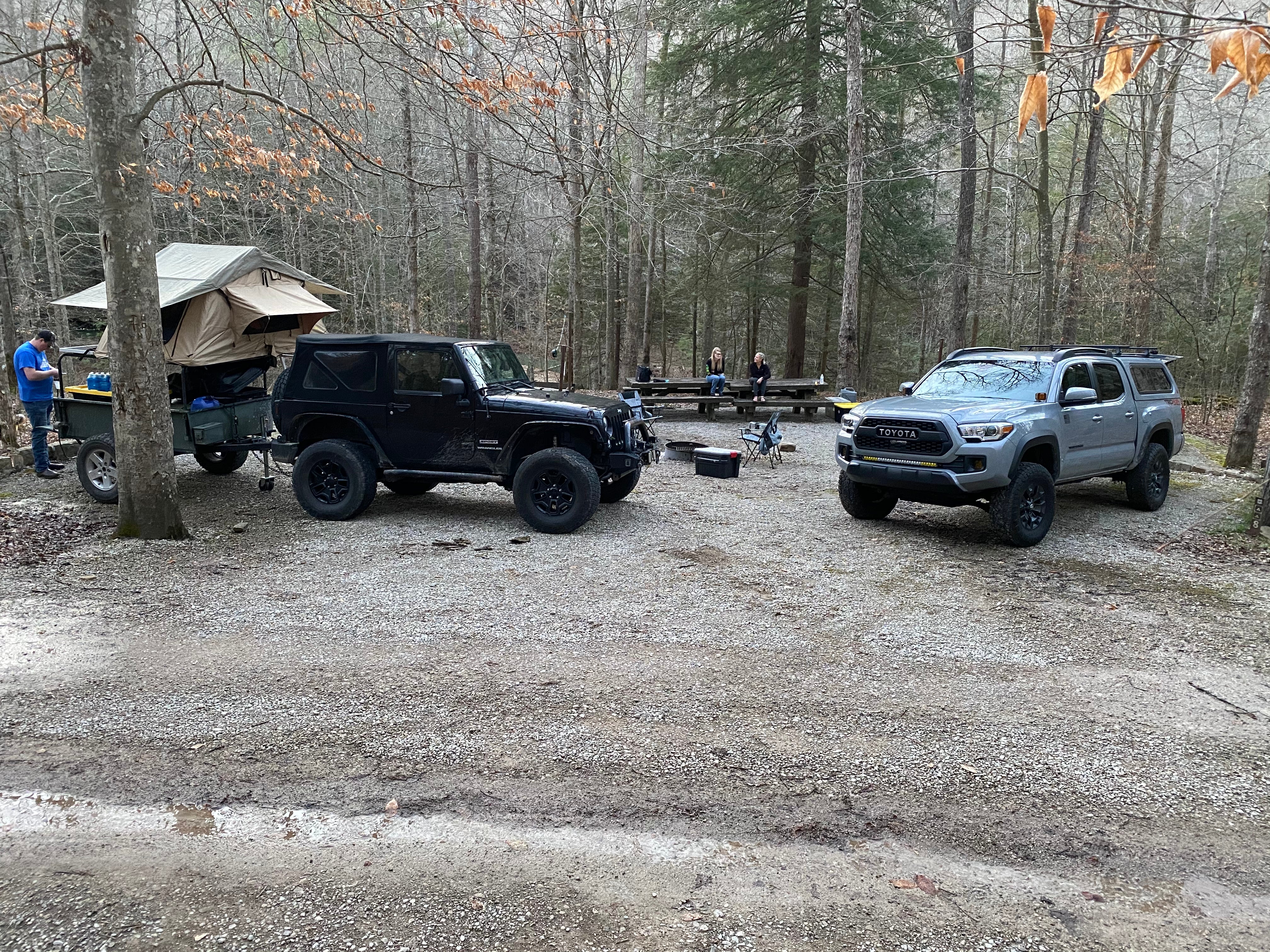
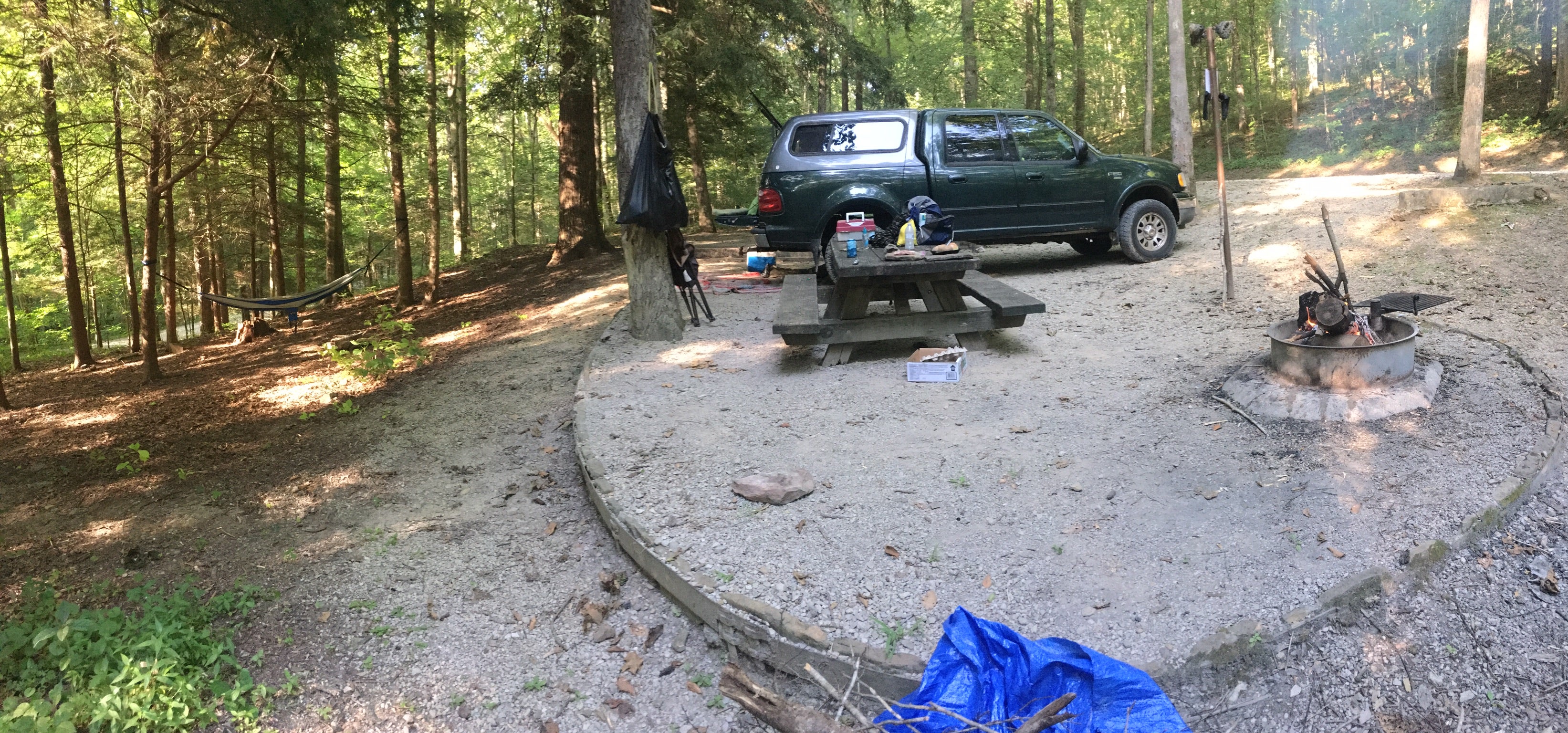
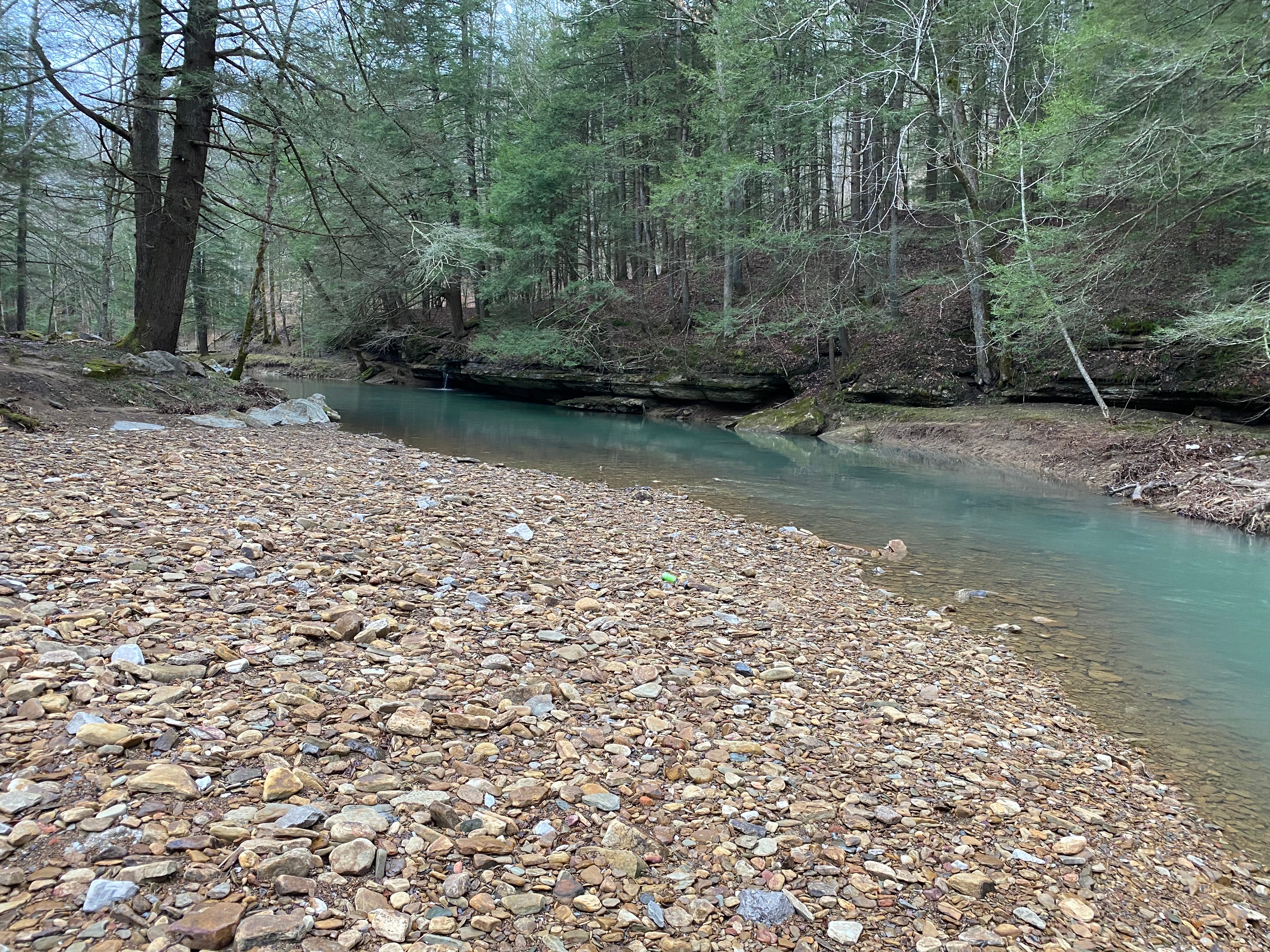
Turkey Foot Campground, located on London Ranger District, is nestled along the banks of War Fork Creek in Jackson County. The road into the campground is fairly steep and may be unsuitable for vehicles towing large trailers. The creek is stocked with trout throughout the year. A playfield with a horseshoe pit is located t the end of camping sites alongside the creek. All of the campsites are wooded. Make this page look nicer by submitting photos of your visit to Turkey Foot Campground. Learn more... Each site is equipped with picnic table, fire ring, tent pad, and lantern pole. There is no water, electric or dump station available in the campground. All of the sites are within easy walking distance of the creek. Turkey Foot Campground Map Use caution at the low water ford across the creek at the campground entrance. Do not cross if flooded. Low lying areas are prone to flooding, so be alert for flooding when driving, camping or crossing streams in this area. Campfires are permitted in fire rings only. Make sure fires are out before retiring at night or when leaving your campsite. View Turkey Foot Campground Guide & Map(pdf) Trails nearby: Sheltowee Trace National Recreation Trail #100. A portion of Section 19, from Turkey Foot Campground to Jackson County Road 376, is open to off-highway vehicles less than 50" wide. Turkey Foot Loop Trail System #303 (4.5 miles) - hiking only
Location
Turkey Foot Campground is located in Kentucky
Directions
From US 421 take KY 587 north and turn left onto Forest Road 4 (Turkey Foot Road). Follow FR 4 to FR 345 (Elsam Fork Road). Turn right onto 345 and follow signs to the campground. From Arvel take KY 587 south and turn right onto Forest Road 4 (Turkey Foot Road). Follow FR 4 to FR 345 (Elsam Fork Road). Turn right onto 345 and followsigns to the campground. From Berea: From I-75 take Berea Exit 76. Head east on KY 21. Stay on KY 21E (Big Hill Road) approximately 5 miles until it ends at US 421. Turn right (south) on US 421. Take US 421 west for approximately 18.4 miles to McKee KY. Turn left onto KY 89. Turn right on Macedonia Road for 0.5-mile. Turn left on Turkey Foot Road for 1 mile. The road turns to gravel. After 1.9 miles, turn left onto Forest Service Road 345 and follow signs to the campground.
Coordinates
37.46801524 N
83.91696467 W
Access
- Drive-InPark next to your site
- Walk-InPark in a lot, walk to your site.
Stay Connected
- WiFiUnknown
- VerizonUnknown
- AT&TUnknown
- T-MobileUnknown
Site Types
- Tent Sites
- RV Sites
- Standard (Tent/RV)
- Group
Features
For Campers
- Picnic Table
- Phone Service
- Toilets
- Pets
- Fires


