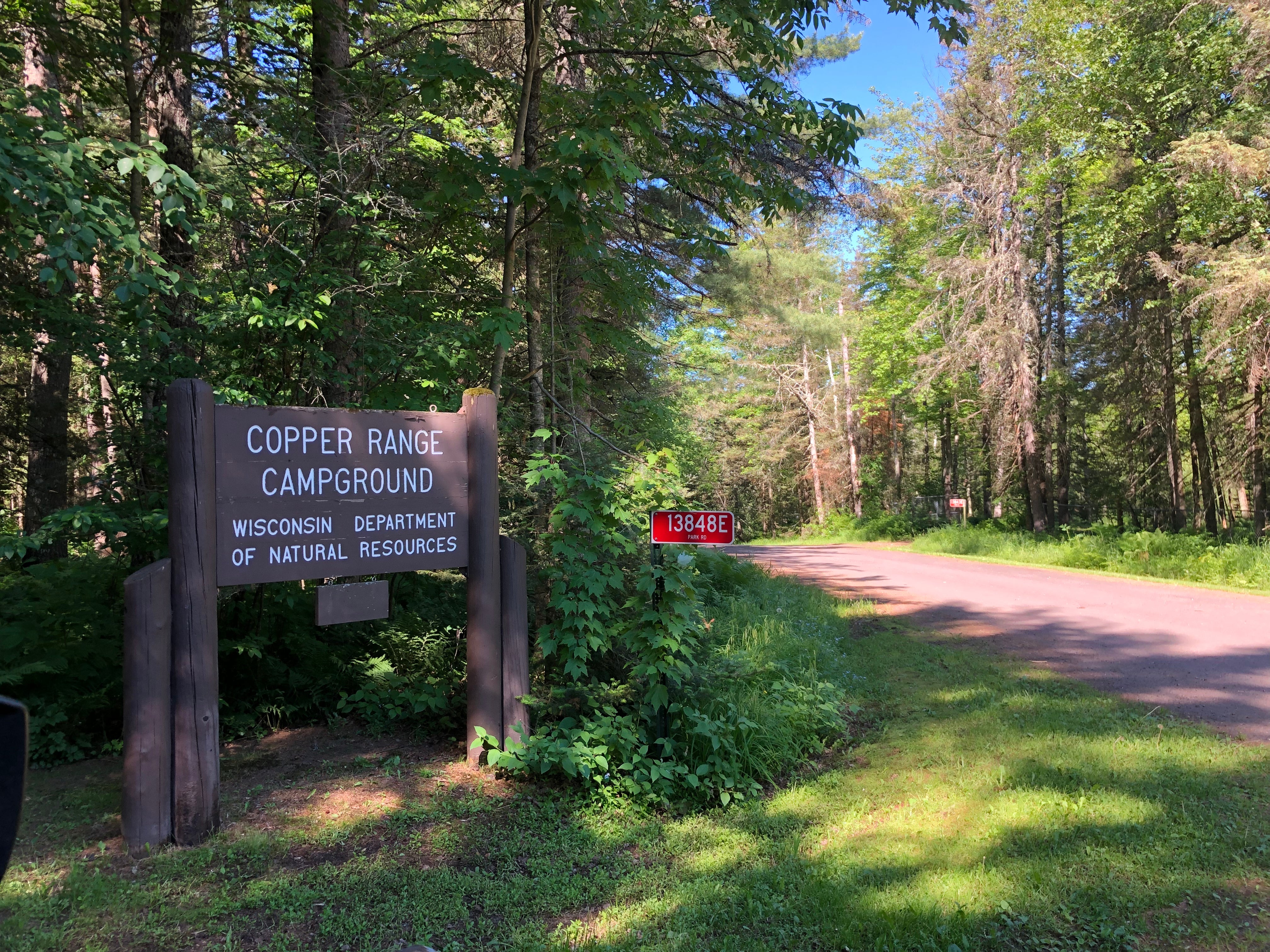
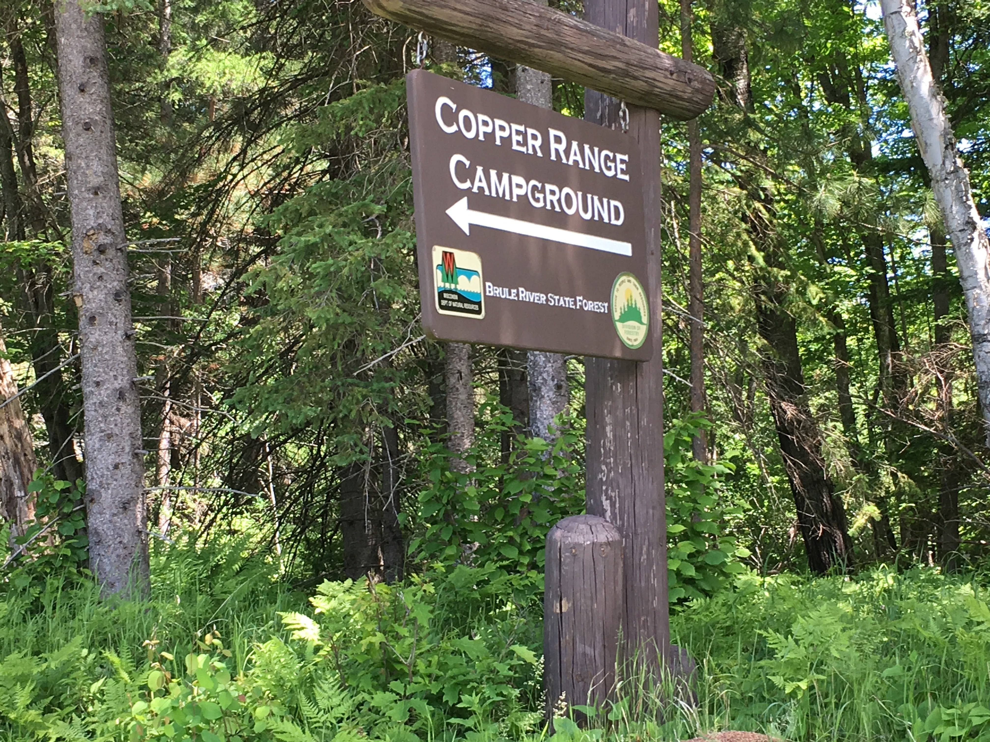
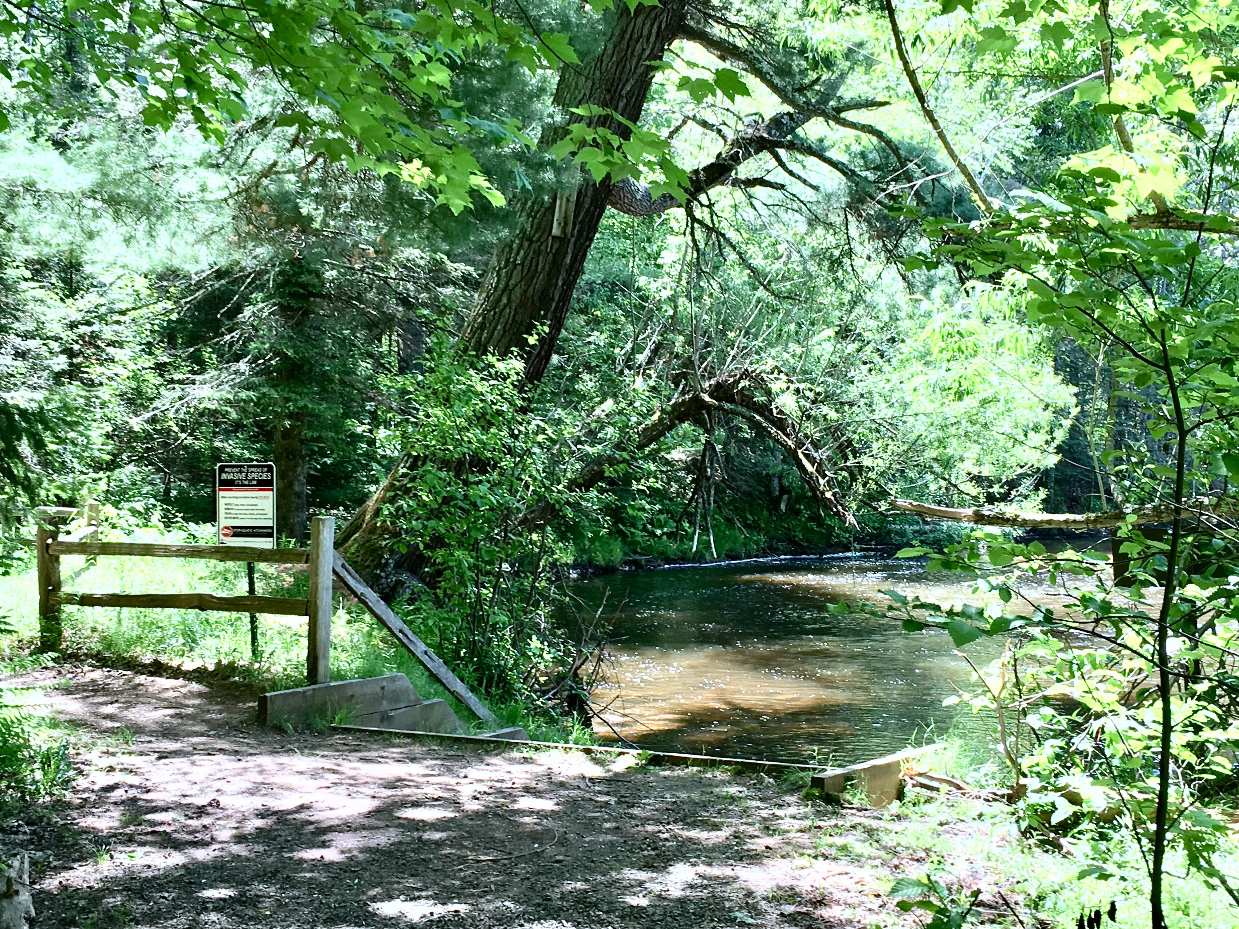
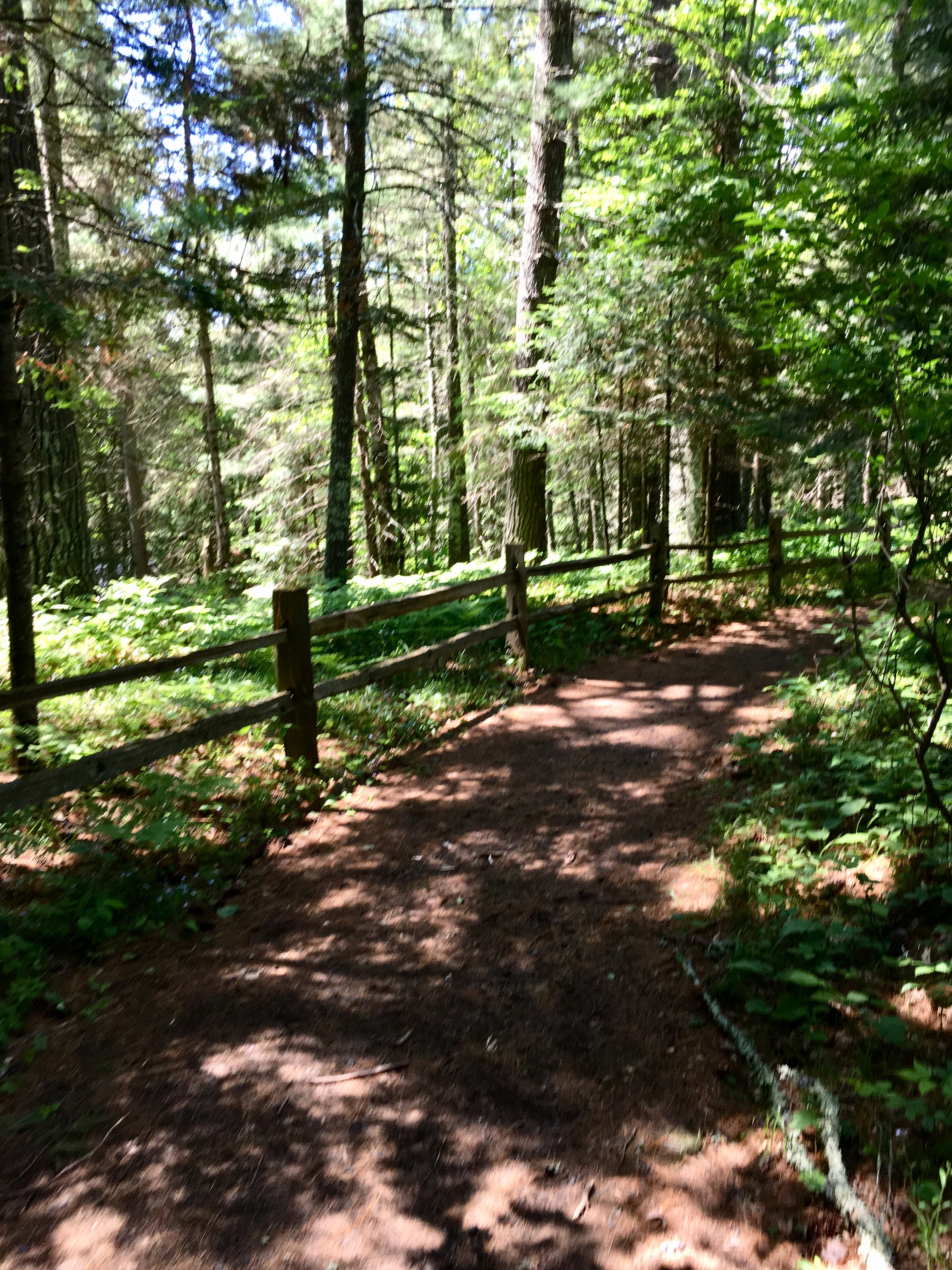
This is a small state forest campground adjacent to the beautiful and wild Brule River of northern Wisconsin. There are drive-in sites for both tenters and folks with small RVs, but be advised there are no hook-ups. The sites are large, well spaced, and rustic, with basic latrines and a communal water pump. The campground is fairly small and fairly remote, however the garbage receptacles were overflowing so clearly staff arent visiting very often and there wasnt evidence of a campground host so I would be a bit concerned about supervision of the campground if I was camping alone, hence I docked my review by one star. That being said, the pros are many, especially for those wanting access to this special river. There are trails up and down the river, for shore casting, and access to the shallows ir bridge fishing as well, and the fishing is equally good for angling or fly fishing. The very best aspect of this campground is its selection of paddle-in or hike-in campsites along the river, large campsites nestled in tall forest pines that could accomodate fishing or canoeing groups. The canoe landing is nicely developed and has easy access, and there are great canoe racks adjacent to the landing as well. This landing is an easy days paddle from a put-in at the outfitter to the south on Highway 2, and an easy paddle from here to the next stops on the Brule River Water Trail, so you could easily plan a nice multi day canoe trip even if you didnt have your own gear. As far as a water trail with canoe campsites go, thus is one of the best II’ve seen!

