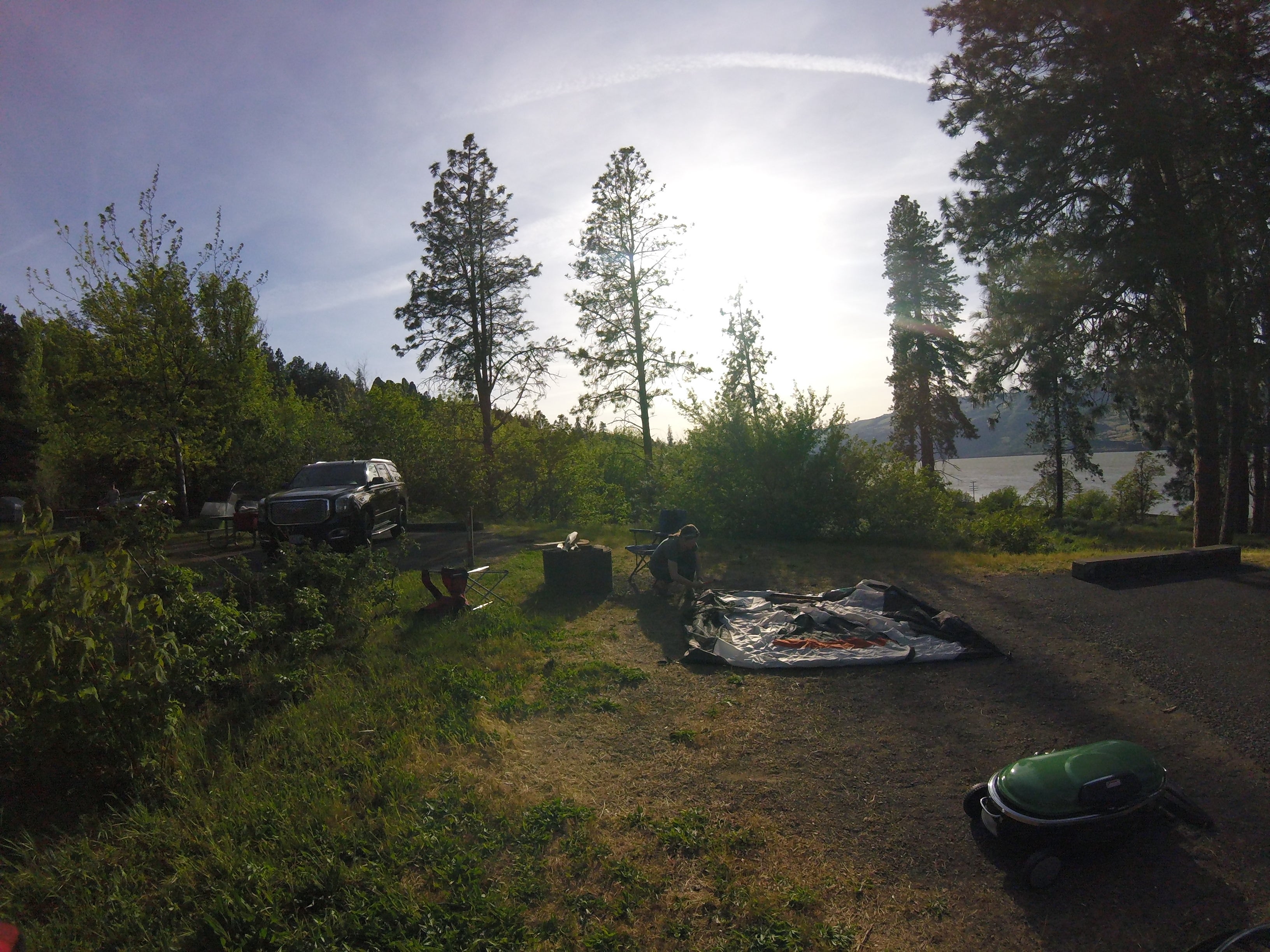
Established Camping
Memaloose State Park Campground
About
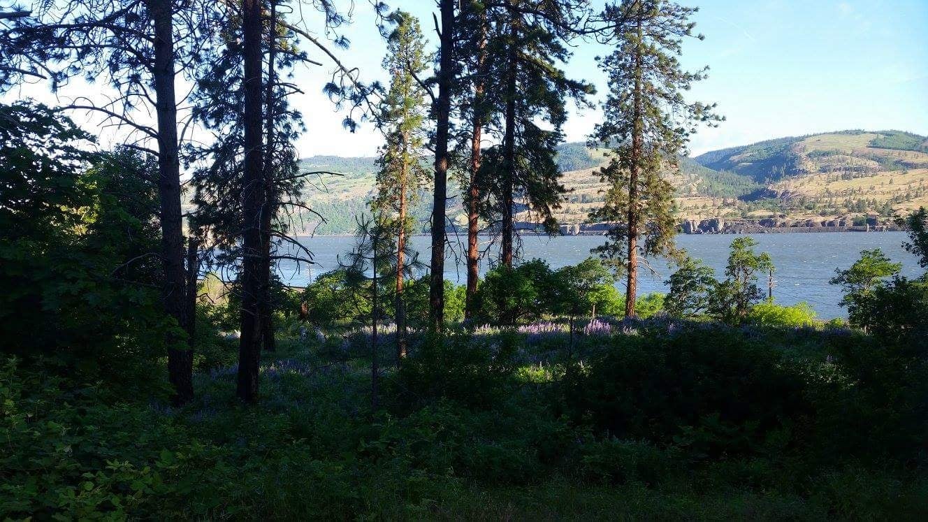
The stars seem to shine brighter at this campground on the east end of the Columbia River Gorge, 11 miles west of The Dalles. Campsites look over the river and the park’s namesake, Memaloose Island, a place sacred to the indigenous people of the Columbia River Gorge. They would lay the bones of their dead on open pyres on the island.
Also buried there is an early settler and town promoter of The Dalles, Senator Victor Trevitt. A granite monument visible from Memaloose campground marks his grave.
Today, the park is a gateway to exploring The Dalles and the east end of the Gorge. Visitors will enjoy spring wildflowers and the cooling shade of the maple, willow and cottonwood trees. On summer nights, the park’s grassy meadows are the perfect spot to observe the nightly celestial performance.
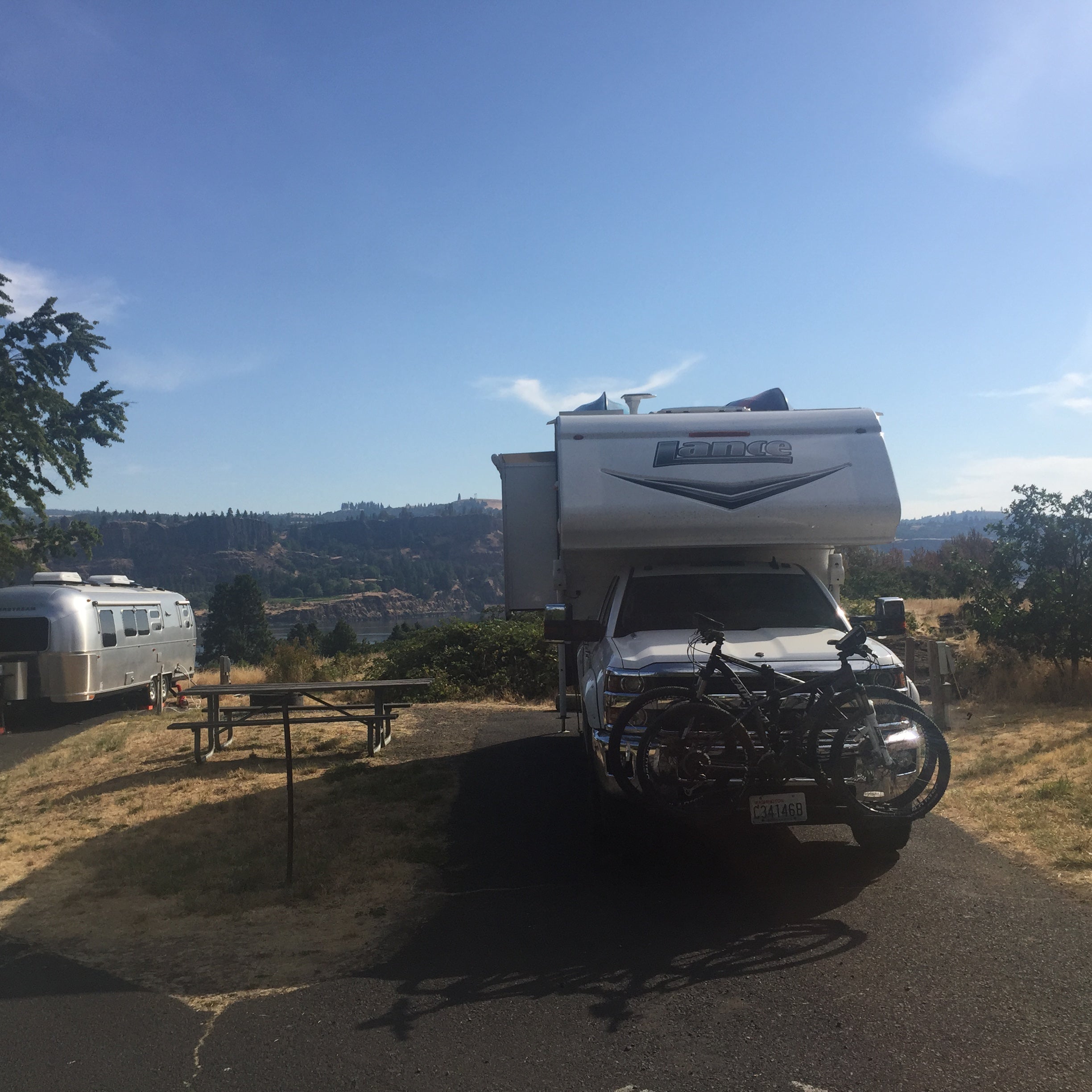
Campground 43 full-hookup sites 66 tent sites with water nearby Flush toilets and hot showers RV dump station
Location
Memaloose State Park Campground is located in Oregon
Directions
East on I-84: take Rowena Exit 76. Follow signs that say Memaloose. Turn left and re-enter I-84 West (Do not cross RR tracks); Go 3 miles to Memaloose Rest Area and Campground exit. Drive through rest area to Campground Entrance. Turn right into park entrance. (Note: If you cross over the railroad tracks by mistake turn around at the boat ramp parking lot and exit Mayer park. Turn right and re-enter I-84 West. Follow I-84 West directions). West on I-84: take Memaloose Rest Area and Campground exit, milepost 73. Drive through rest area to Campground; Turn right at park entrance. Leaving the park: traveling west - exit park and continue on I-84 West. Leaving the park: traveling east - go 3 miles west to Mosier (exit 69). Turn left to re-e
Coordinates
45.69557893 N
121.340585 W
Access
- Drive-InPark next to your site
- Walk-InPark in a lot, walk to your site.
Stay Connected
- WiFiAvailable
- VerizonGood
- AT&TGood
- T-MobileGood
Site Types
- Tent Sites
- RV Sites
- Standard (Tent/RV)
- Group
Features
For Campers
- ADA Access
- Trash
- Picnic Table
- Firewood Available
- Phone Service
- Reservable
- Showers
- Drinking Water
- Electric Hookups
- Toilets
- Alcohol
- Pets
- Fires
For Vehicles
- Sanitary Dump
- Sewer Hookups
- Water Hookups
- Big Rig Friendly

