Free Camping Collection
Established Camping
Barnhouse Campground
About
National Forest
Ochoco National Forest and Crooked River National Grassland
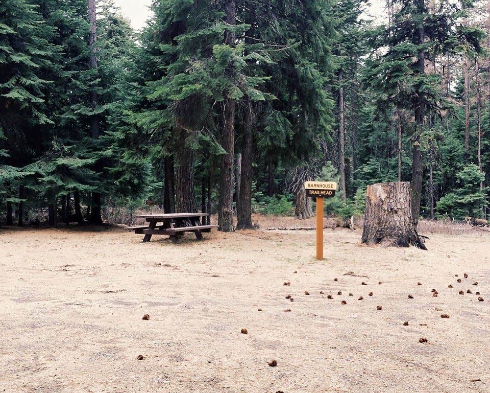
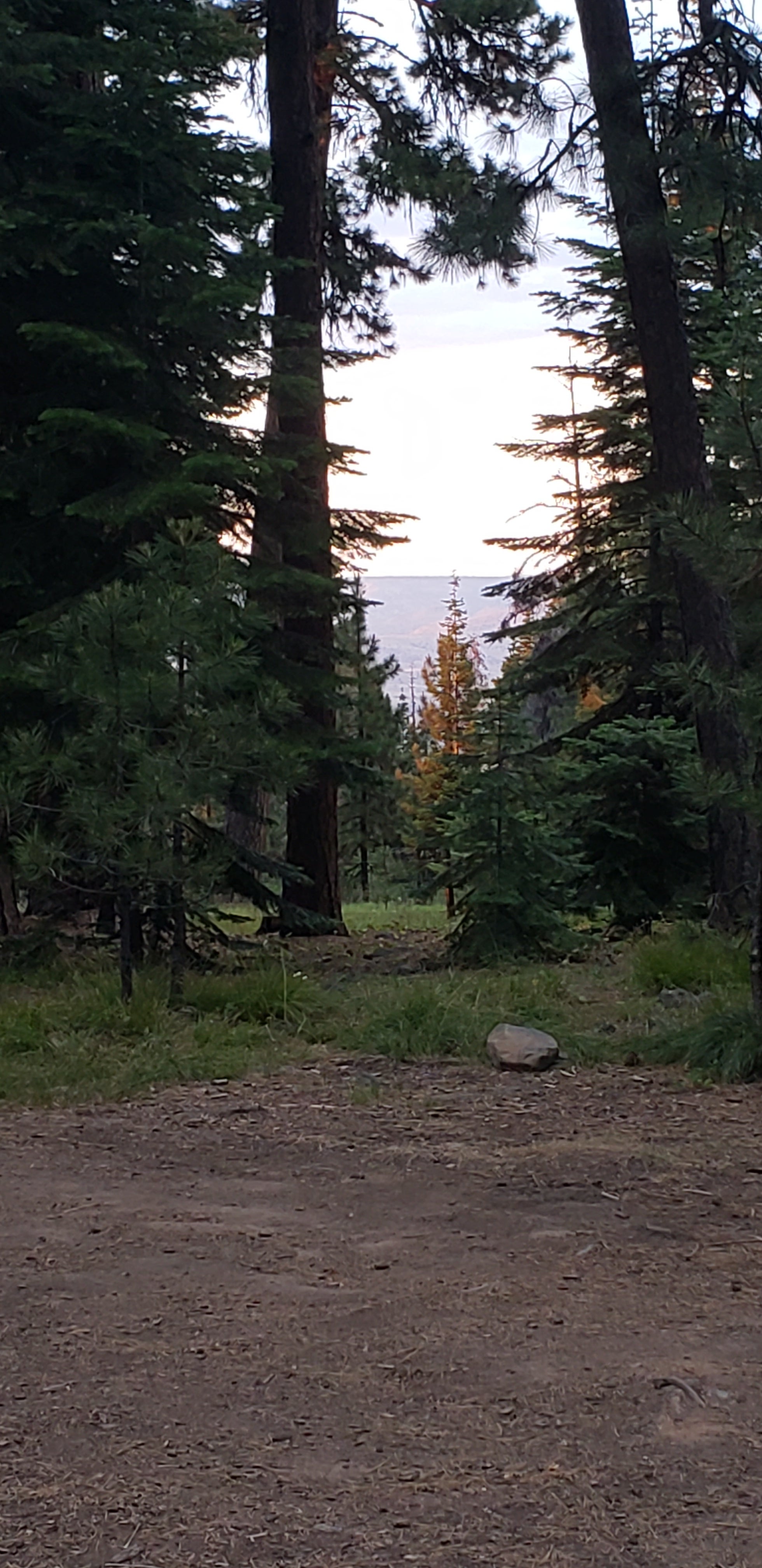
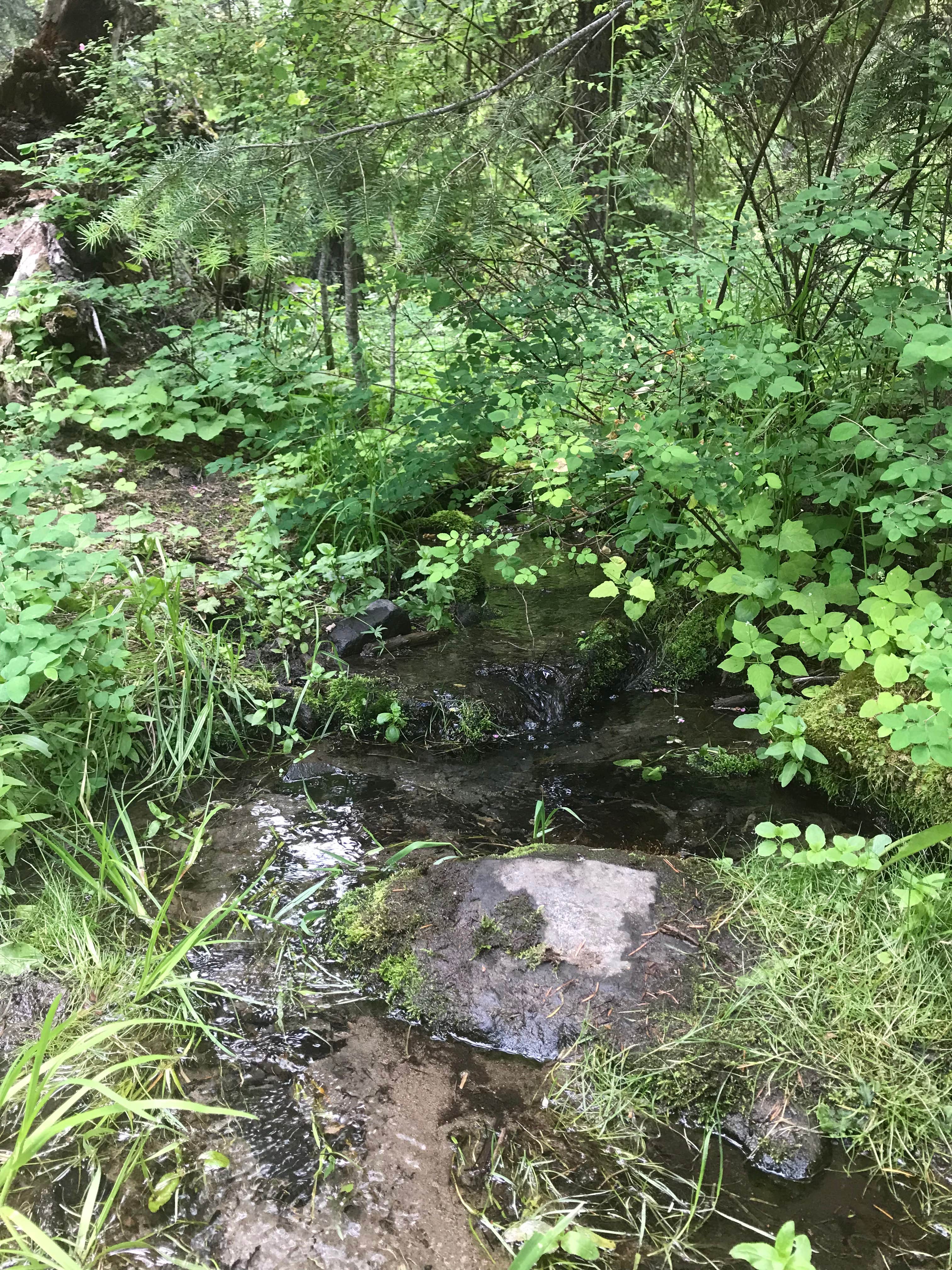
This campground is surprisingly quiet and serene as it sits nestled among some large ponderosa pine trees just a few miles from the main highway. It also hosts the trailhead for Barnhouse Trail (#813) located in the northwest corner of the campground.
Coyotes and owls can be heard most summer evenings and occasionally local ranchers will graze their cattle nearby, which can make for some interesting serenades in the evening hours.
Size & number of trailer sites are limited (no dump station). No RV's over 25 feet. There is a 14 day stay limit on all National Grassland and US Forest Service land including but not limited to campgrounds and other developed facilities.
This campground has 6 campsites that each have a picnic table and combination fire pit/grill. Parking spurs vary in size so any site can accommodate tent camping, but some may not be able to accommodate RV camping.
Reservation Info
This is a First Come, First Served facility.
Location
Barnhouse Campground is located in Oregon
Directions
From Prineville, Oregon: Take Highway 380 east 55 miles to Paulina, Oregon. From Paulina, head east on County Road 112 for 3.5 miles to Beaver Creek Road (County Road 113), turning north to Forest Service Road 42. Follow Forest Service Road 42 north for 8 miles to Forest Service Road 12. Follow Forest Service Road 12 north for 17 miles to the campground. From John Day, Oregon: Take Highway 26 west to Dayville, Oregon. Travel 25 miles west from Dayville to Forest Service Road 12, then head south for 5 miles to the campground. From Mitchell, Oregon: Take Highway 26 east for 13 miles to Forest Service Road 12. Take Forest Service Road 12 south for 5 miles to the campground.
Coordinates
44.47300041 N
119.93600018 W
Access
- Drive-InPark next to your site
Stay Connected
- WiFiUnknown
- VerizonUnknown
- AT&TUnknown
- T-MobileUnknown
Site Types
- Tent Sites
- RV Sites
- Standard (Tent/RV)
- Group
Features
For Campers
- Picnic Table
- Phone Service
- Toilets
- Alcohol
- Pets
- Fires

