Established Camping
Blue Mtns North/Grande Ronde River Basin Area
About
USDA Forest Service
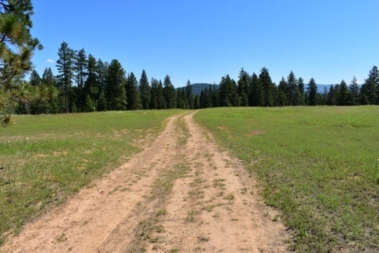
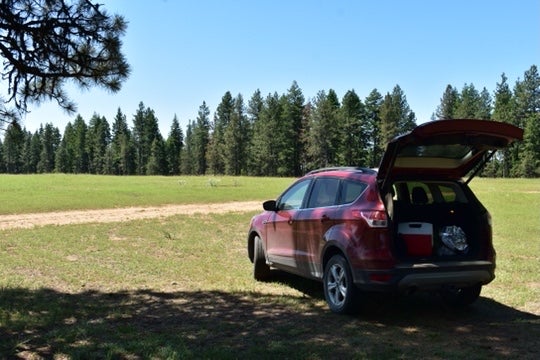
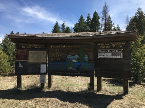
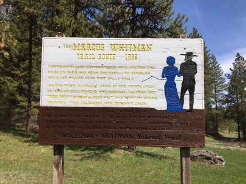
The Blue Mountain North/Grande Ronde River Basin Area is situated north of the Anthony Lakes Highway (Forest Road 73) to the Mount Emily area. It includes all of the developed recreation sites and trails in the northern Blue Mountains and those found in the Grande Ronde River Basin west of La Grande, Oregon. This area is mainly administered by the La Grande Ranger District although some of the area north of the Anthony Lakes Highway is administered by the Whitman Ranger District. Popular recreation areas include the Oregon Trail Interpretive Park at Blue Mountain Crossing, Mt. Emily, Spring Creek Recreation Area, Ladd Canyon, and Beaver Creek. Local communities that have a variety of services (i.e. fuel, lodging, stores and/or restaurants) are LaGrande, Island City, Elgin, Imbler, Cove, Richland, and Baker City . These communities are within one hour of this area.
Location
Blue Mtns North/Grande Ronde River Basin Area is located in Oregon
Coordinates
45.38456639 N
118.31187297 W
Access
Stay Connected
- WiFiUnknown
- VerizonAvailable
- AT&TUnknown
- T-MobileUnknown
Site Types
- Tent Sites
- Standard (Tent/RV)
Features
For Campers
- Trash
- Alcohol


