Established Camping
Black Mountain / South Toe River Area
About
USDA Forest Service
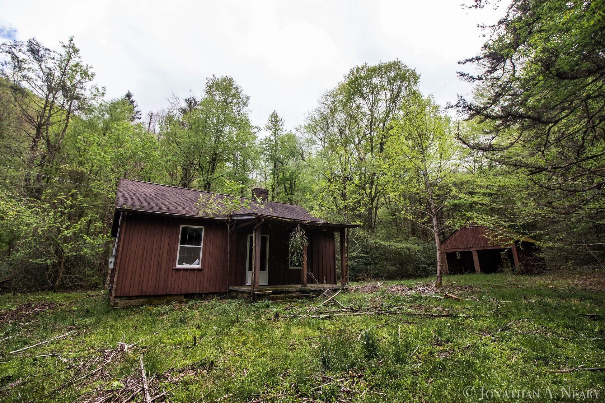
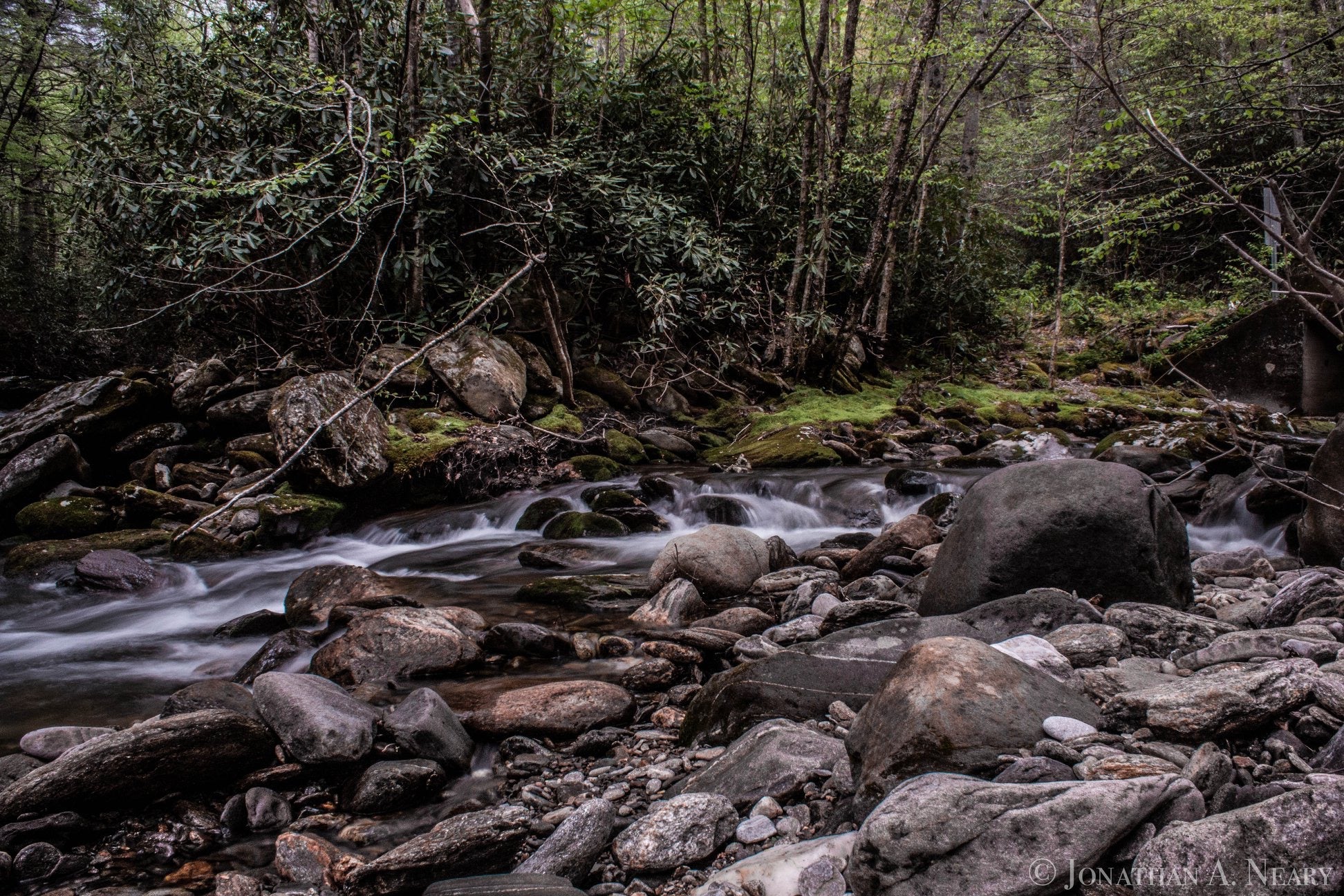
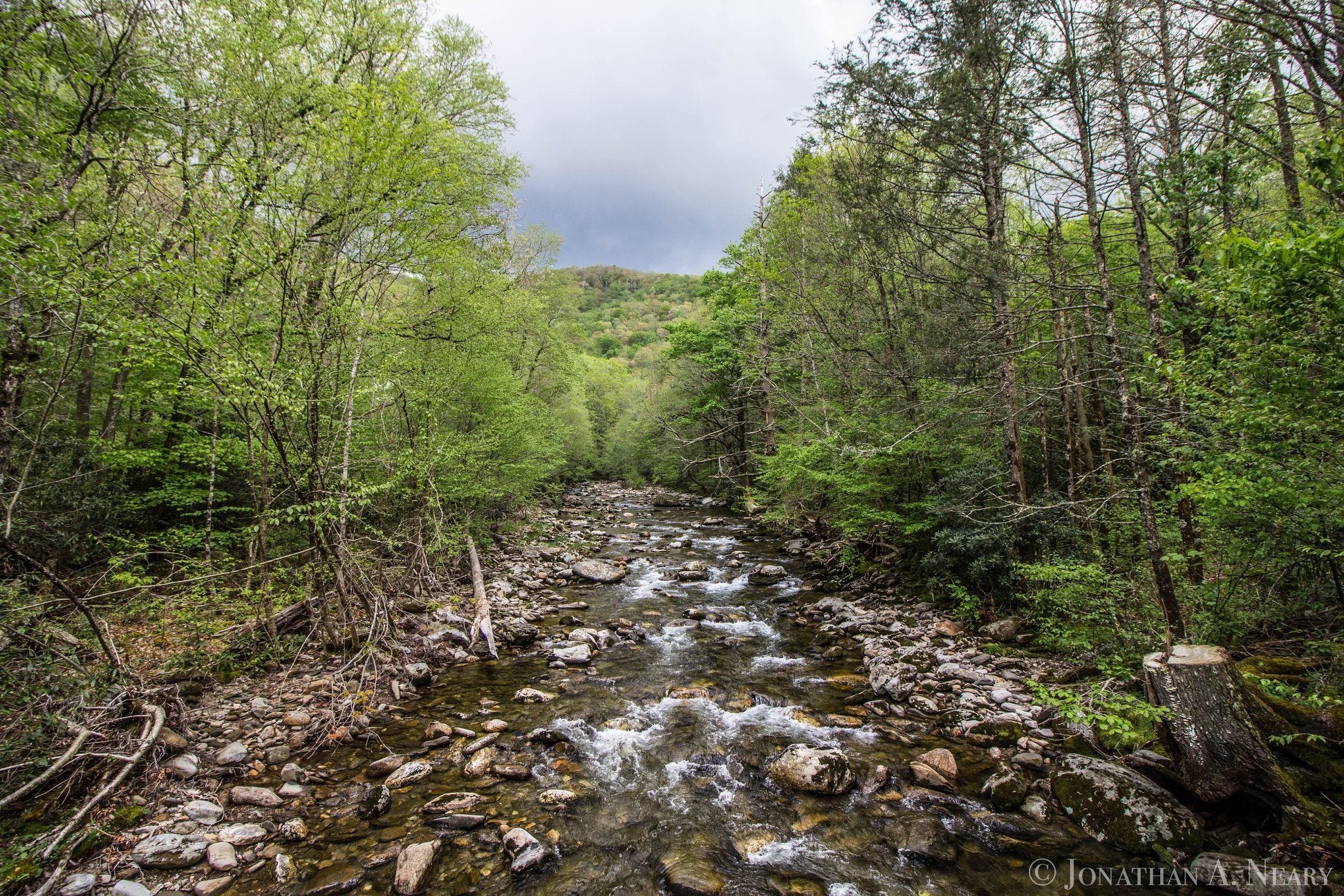
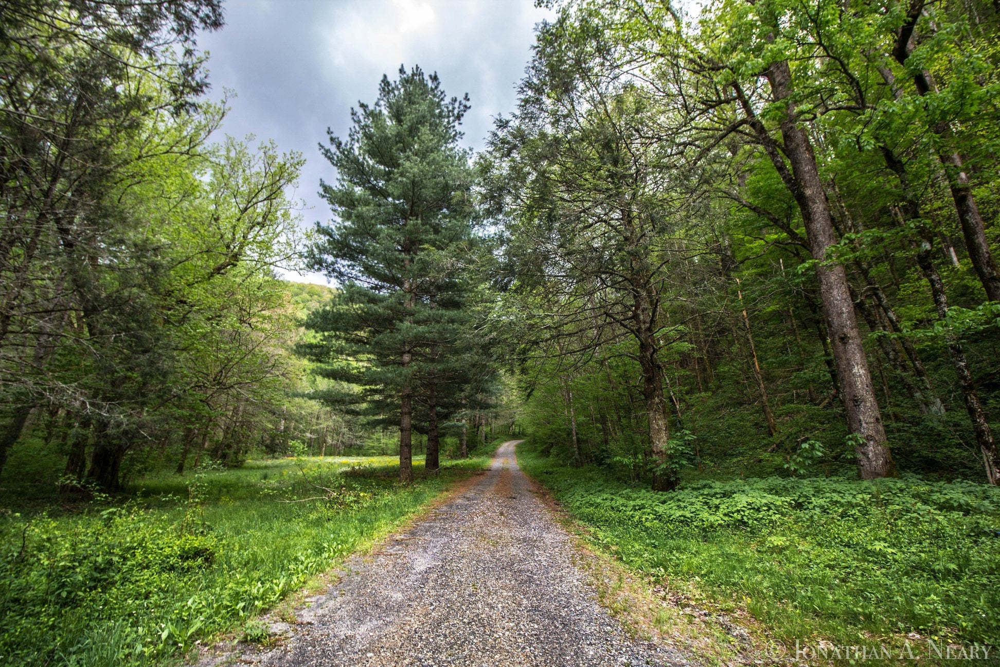
The South Toe River area is on the Appalachian Ranger District near Burnsville, NC. This area includes the Black Mountains, the Blue Ridge, and the headwaters of the South Toe River. The Black Mountains, capped with a forest of red spruce and Fraser fir, are named for the resulting dark color. Along the South Toe River, you can camp, picnic, fish, swim, tube, bike, and horseback ride.
Location
Black Mountain / South Toe River Area is located in North Carolina
Coordinates
35.28329514 N
82.72183667 W
Access
- Walk-InPark in a lot, walk to your site.
Stay Connected
- WiFiGood
- VerizonAvailable
- AT&TAvailable
- T-MobileAvailable
Site Types
- Tent Sites
- RV Sites
- Group
Features
For Campers
- Trash
- Picnic Table
- Phone Service
- WiFi
- Drinking Water
- Electric Hookups
- Pets
- Fires

