Free Camping Collection
Dispersed Camping
Acton Recreation Area
About
Bureau of Land Management
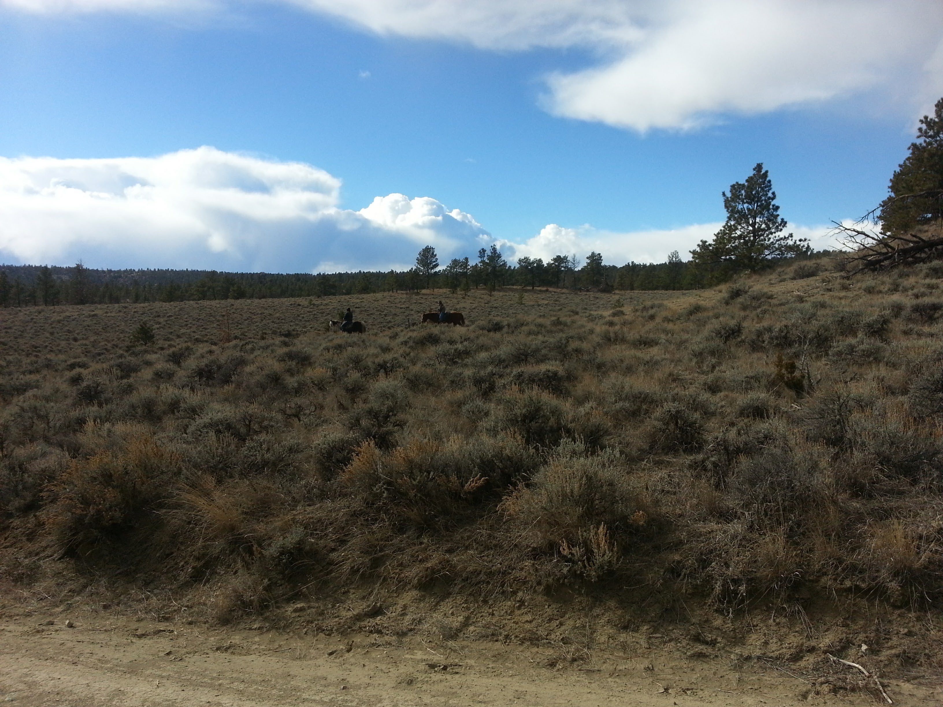
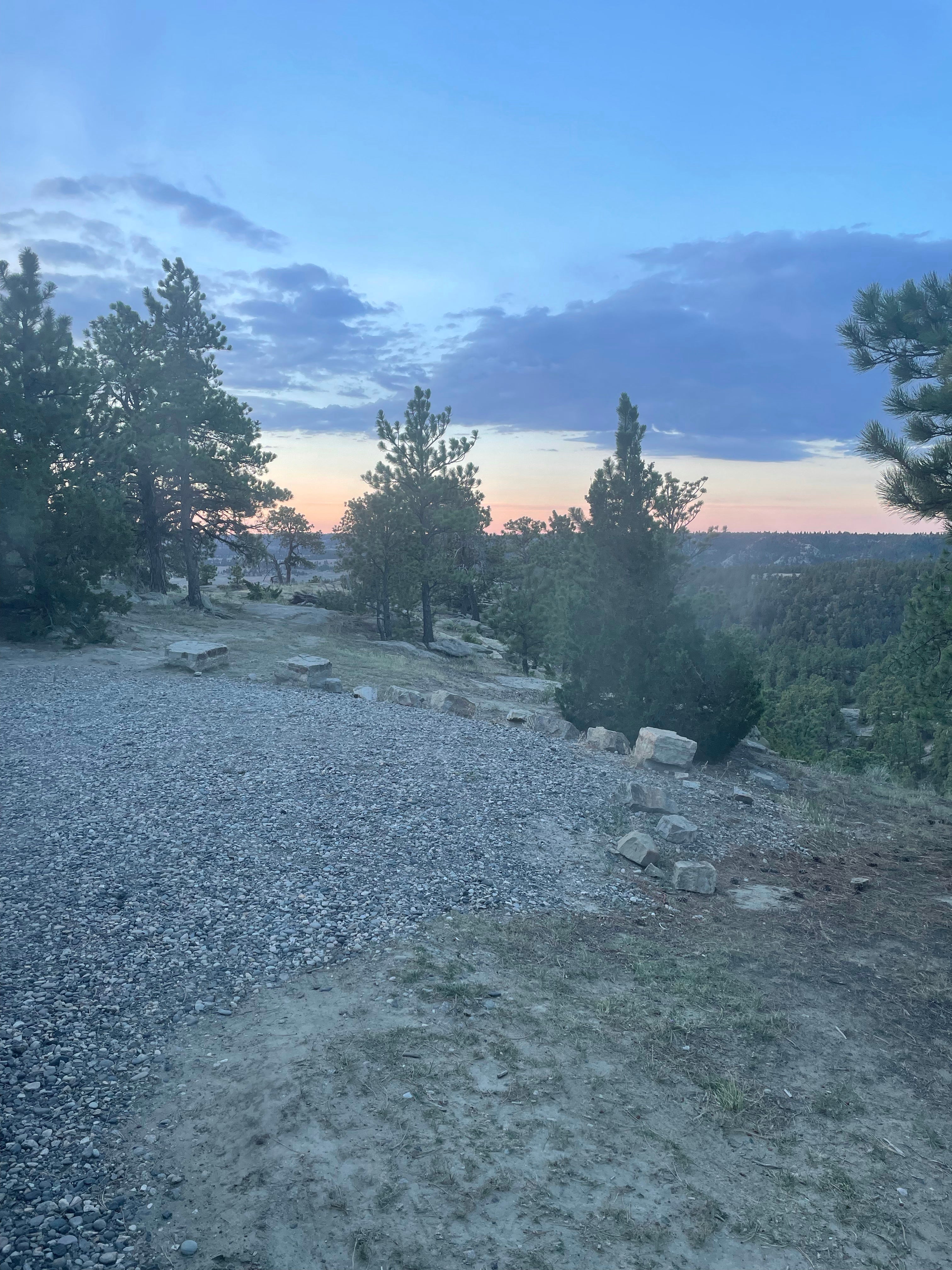
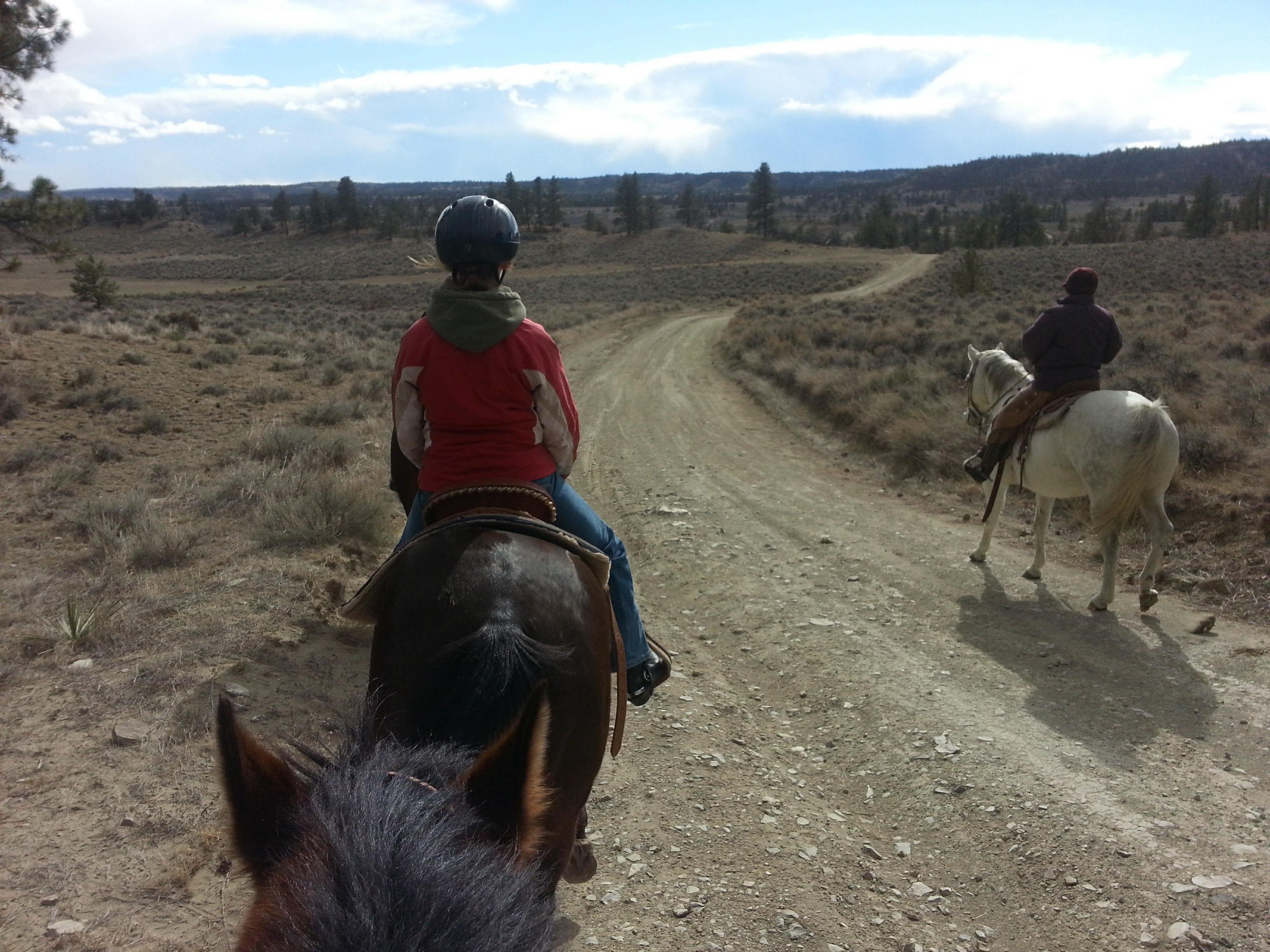
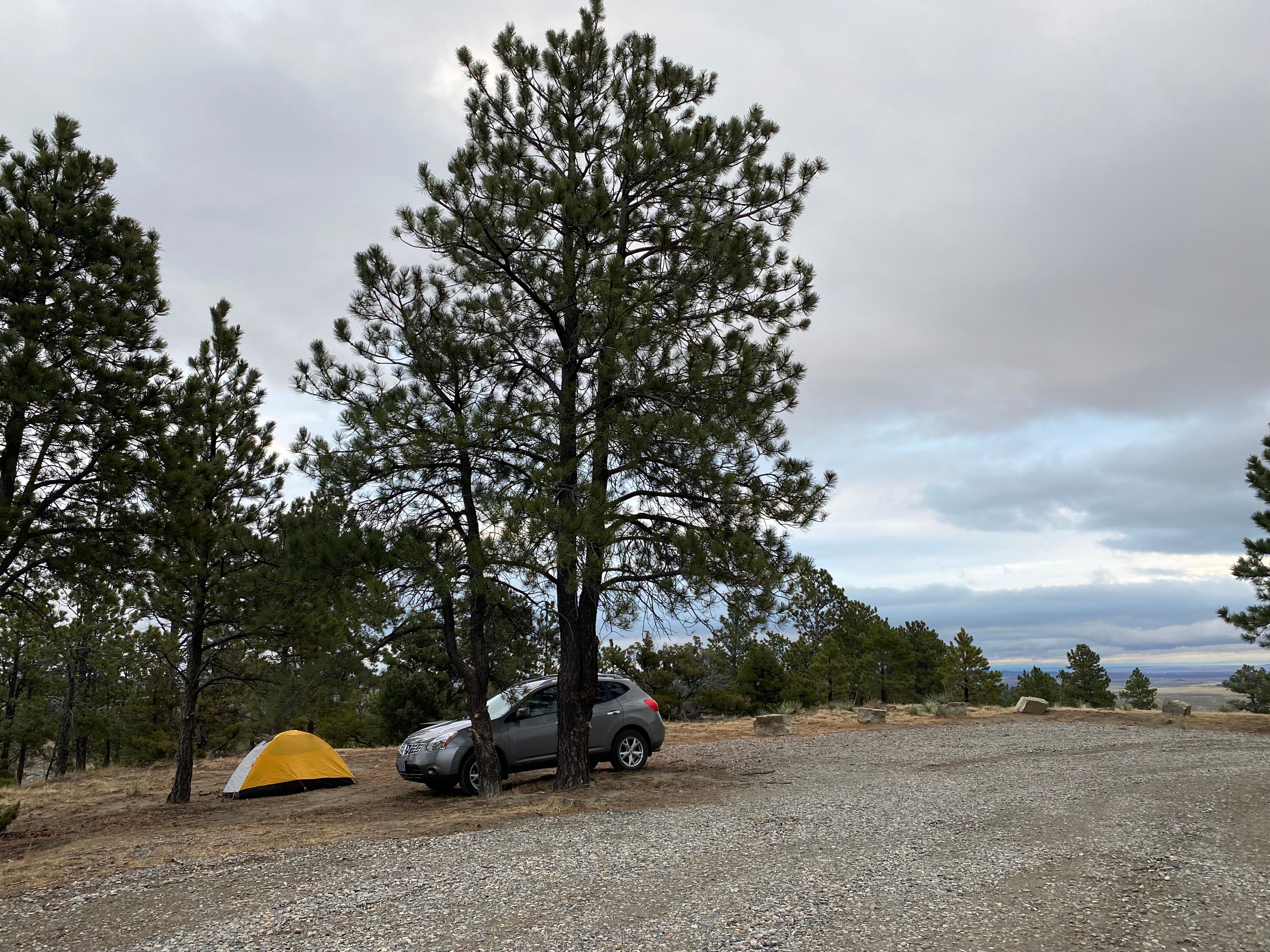
Map: https://www.blm.gov/sites/blm.gov/files/Acton_GeoRef_2019.pdf Located approximately 18 miles north of Billings, the Acton Recreation Area consists of an extremely diverse landscape. With Cretaceous Age upland bluffs of Eagle sandstone, minor badlands, steep drainages, weathered shale, and scattered ponderosa pine, this 3,800 acre parcel of land allows for many wildlife viewing opportunities. Open to camping, hiking, horseback riding, mountain biking, and hunting (during season), Acton provides multiple possibilities for use year-round. About 6.6 miles of mapped roads are open for motorized use. The Acton Recreation Area is located within the Hoskins Basin Archaeological District, an area containing the remains of both conical and cribbed aboriginal wooden dwellings. Both types are increasing rarities on the northwest plains. Reports of early explorers indicated that dwellings of this type were once common. Due to loss through natural causes (weathering, floods, and fire), many of the structures have been lost. Their use for firewood and fence posts account for other losses. Distribution of the both the cribbed and conical dwellings is quite limited. The cribbed type is reported to have been spotted only from south-central Montana to northern Wyoming. The conical types have a wider range but are not as common in southcentral Montana as the cribbed. Only a limited number of these dwellings are known to exist. Sites with both types represented are fewer still. No off-road motorized vehicle use is permitted to protect the archaeological sites and wildlife habitat.
Location
Acton Recreation Area is located in Montana
Directions
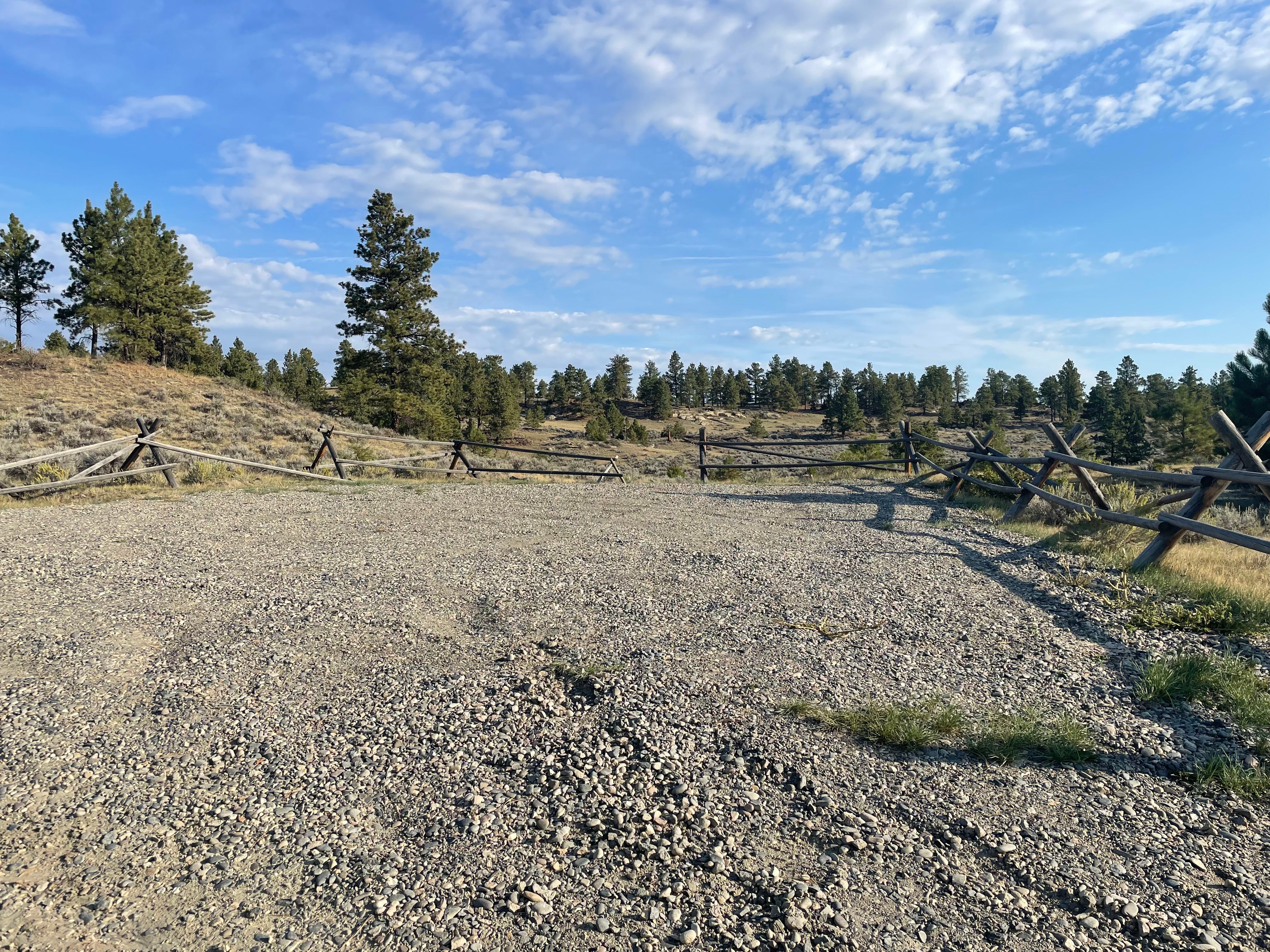
Take Highway 3 north past the town of Acton. Take a right onto Oswald Road, which is located between mile marker 18 and 19. Continue 6.5 miles until Haeg Road and take a right. About 2.5 miles farther is the parking lot and entrance to the Acton Recreation Area.
Coordinates
46.04232432 N
108.66066182 W
Access
- Drive-InPark next to your site
- Walk-InPark in a lot, walk to your site.
Stay Connected
- WiFiUnknown
- VerizonGood
- AT&TUnknown
- T-MobileGood
Site Types
- Dispersed
Features
For Campers
- Picnic Table
- Firewood Available
- Phone Service
- Toilets
- Alcohol
- Pets
- Fires
For Vehicles
- Pull-Through Sites
- Big Rig Friendly

