Verified
Free Camping Collection
Established Camping
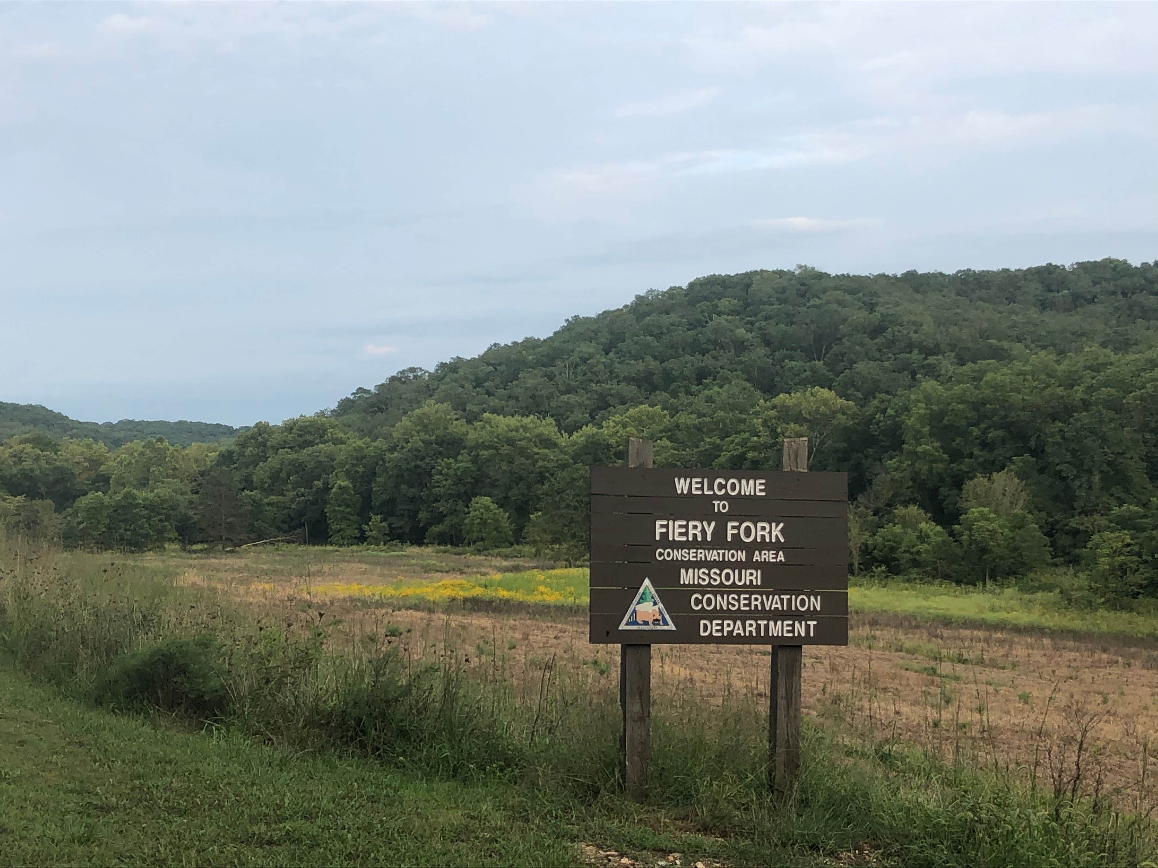
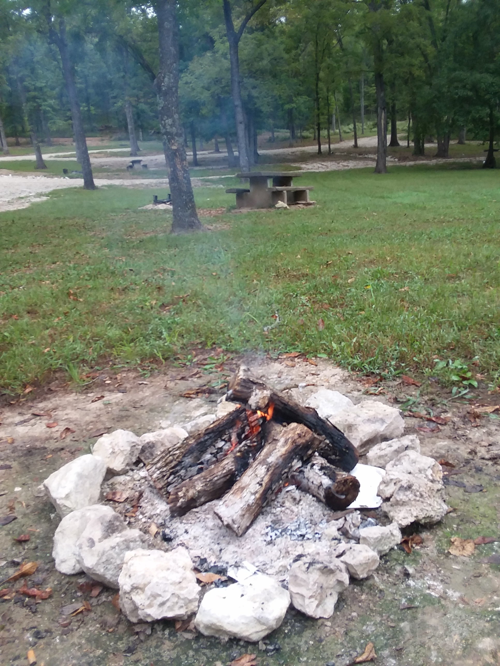
Fiery Fork Conservation Area
About
Missouri Department of Conservation
Visit the Missouri Department of Conservation's website for more information.
Location
Fiery Fork Conservation Area is located in Missouri
Directions
From Climax Springs, take Highway 7 east 4.30 miles, then take Granger Lane south 2 miles. Watch for signs.
Coordinates
38.0846902 N
92.9453636 W
Access
- Drive-InPark next to your site
Stay Connected
- WiFiUnknown
- VerizonUnknown
- AT&TUnknown
- T-MobileUnknown
Site Types
- Tent Sites
- Standard (Tent/RV)
Features
For Campers
- Picnic Table
- Toilets
- Pets
- Fires
For Vehicles
- Pull-Through Sites

