Free Camping Collection
Established Camping
Halverson Bar/Lake
About
Bureau of Land Management
ATTN: Fires not allowed at this site
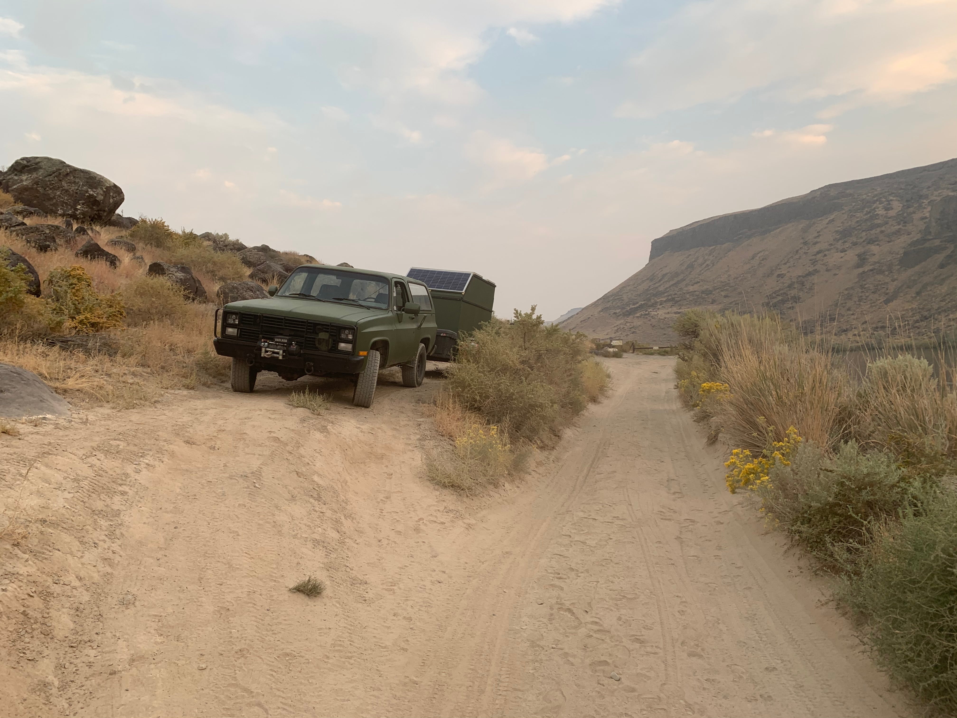
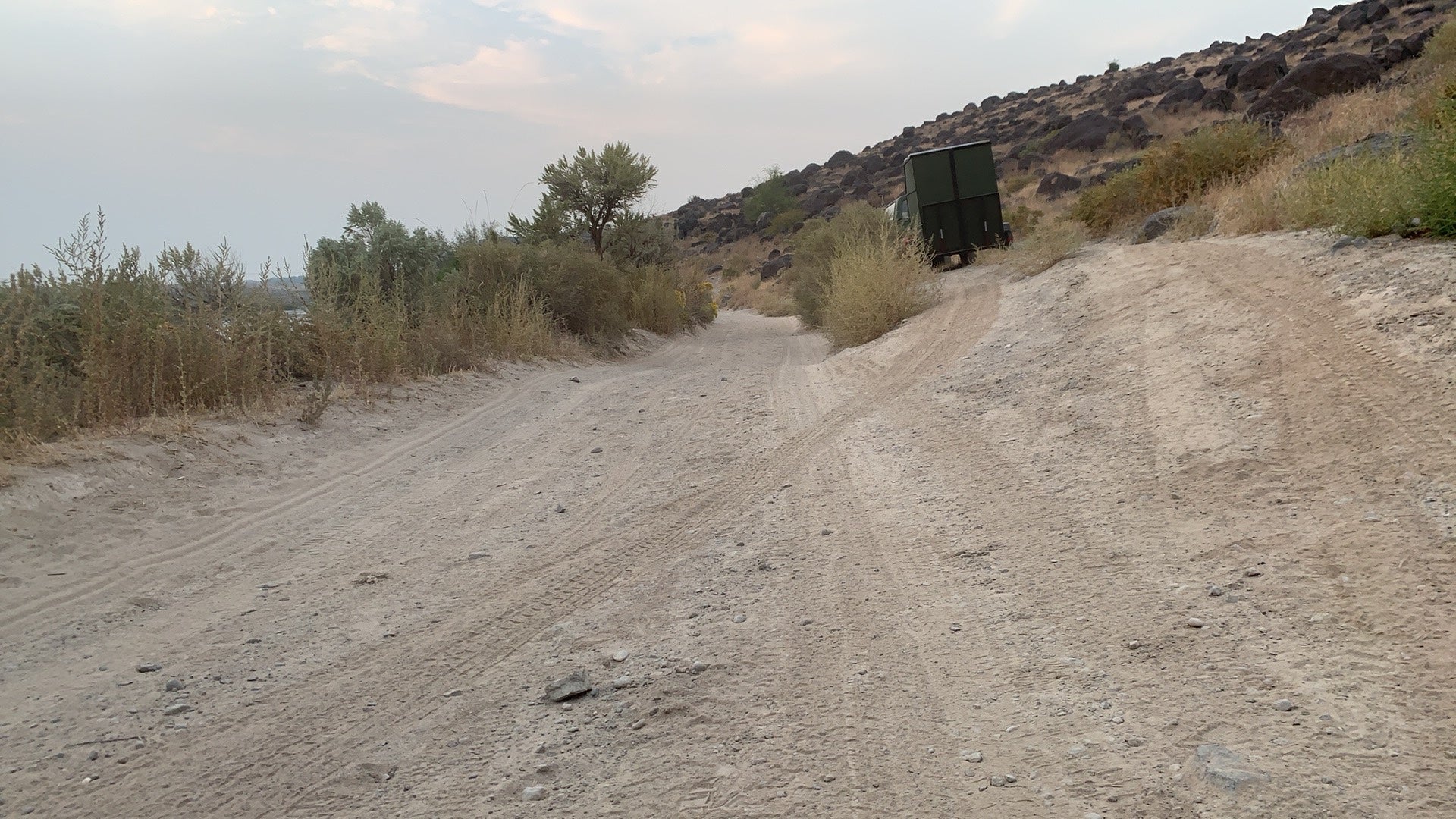
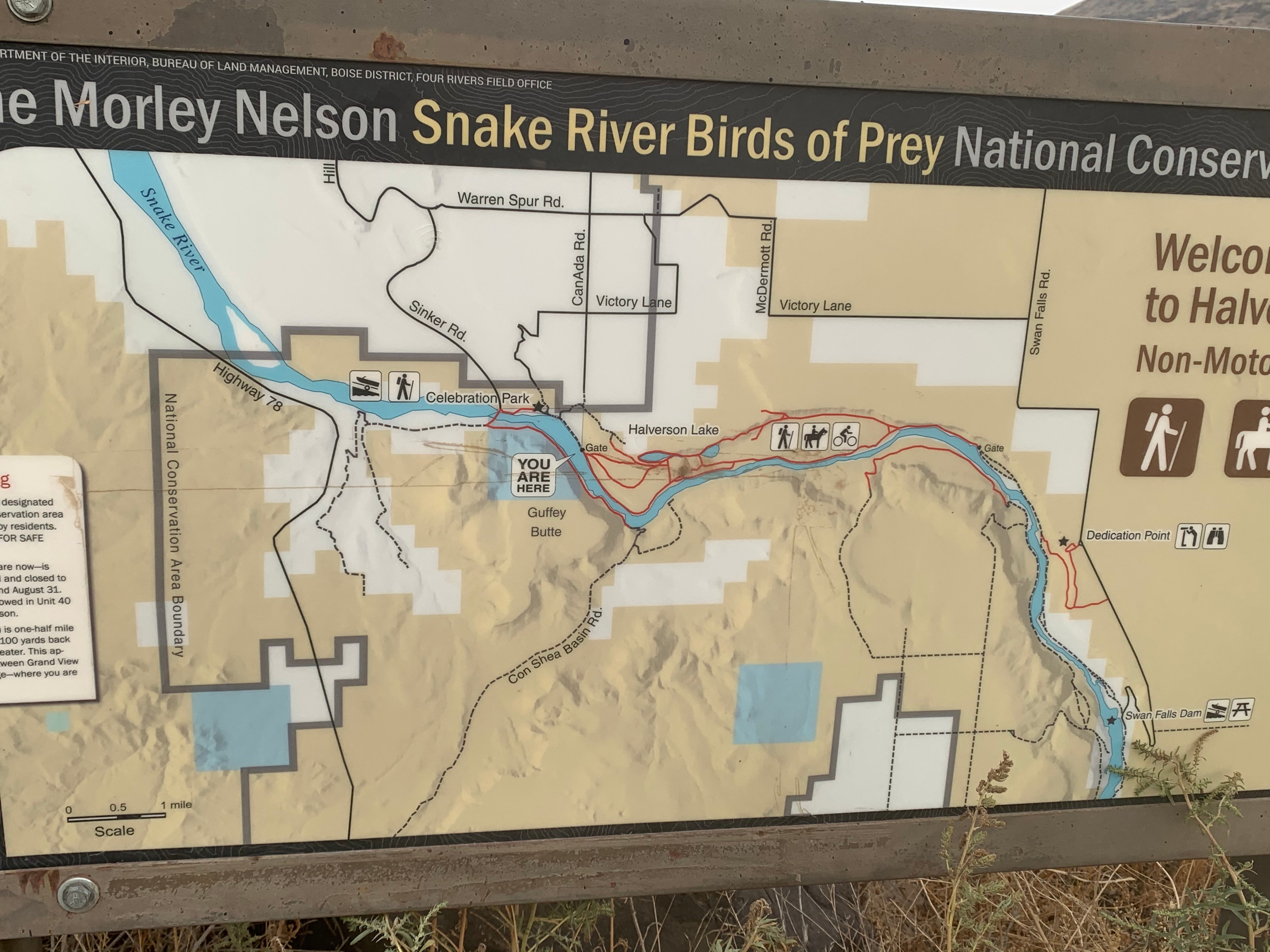
Named after brothers Al and Roy Halverson who once farmed property to the north, the Halverson Bar and Halverson Lake area is unique for its curving two-mile sandbar along the Snake River and its two shallow lakes nestled below the rimrock and tall sand dunes. The Halverson Bar and Halverson Lake area is located at the western end of the Morley Nelson Snake River Birds of Prey National Conservation Area (NCA). This 1,200 acre area is managed for non-motorized recreational activities. Motorized uses are not allowed in the area. The lakes were originally natural depressions that accumulated water seasonally and were sustained by small springs. The lakes have since been deepened by homesteaders and farmers. Today, most of the water in Halverson Lakes comes from irrigation run-off from the upland plateau. Decades ago the lakes were stocked with fish - blue gill, bass, and crappie - which are the primary catch today. Cliffs and sloping bluffs of basalt separate the shoreline and canyon bottom from the upland desert. Basaltic boulders, deposited by the flooding waters of Lake Bonneville 15,000 years ago, lie like giant-size melons on the sandy bar. The area includes a gravel parking area and several miles of hiking trails.
Reservation Info
Fires are not allowed at this site
Location
Halverson Bar/Lake is located in Idaho
Directions
Halverson Bar is located along the Snake River approximately 6 miles southeast of Melba, Idaho or about 15 miles southwest of Kuna. The closest access to Halverson Bar is from the east end of Celebration Park. From Celebration Park follow the dirt road along the Snake River about 1 mile to a very small parking area. The area can also be accessed by driving about 4 miles downstream from Swan Falls Dam along the Snake River to the gate and then hiking about 3 miles downstream. (See directions to Celebration Park and Swan Falls Picnic Area for more details)
Coordinates
43.15281904 N
116.44270518 W
Access
- Drive-InPark next to your site
- Walk-InPark in a lot, walk to your site.
Stay Connected
- WiFiUnknown
- VerizonUnknown
- AT&TUnknown
- T-MobileUnknown
Site Types
- Tent Sites
- RV Sites
- Standard (Tent/RV)
- Equestrian
Features
For Campers
- Picnic Table
- Phone Service
- Pets


