Established Camping
Peacock Flats - Mokuleia Forest Reserve
About
State Park
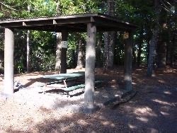
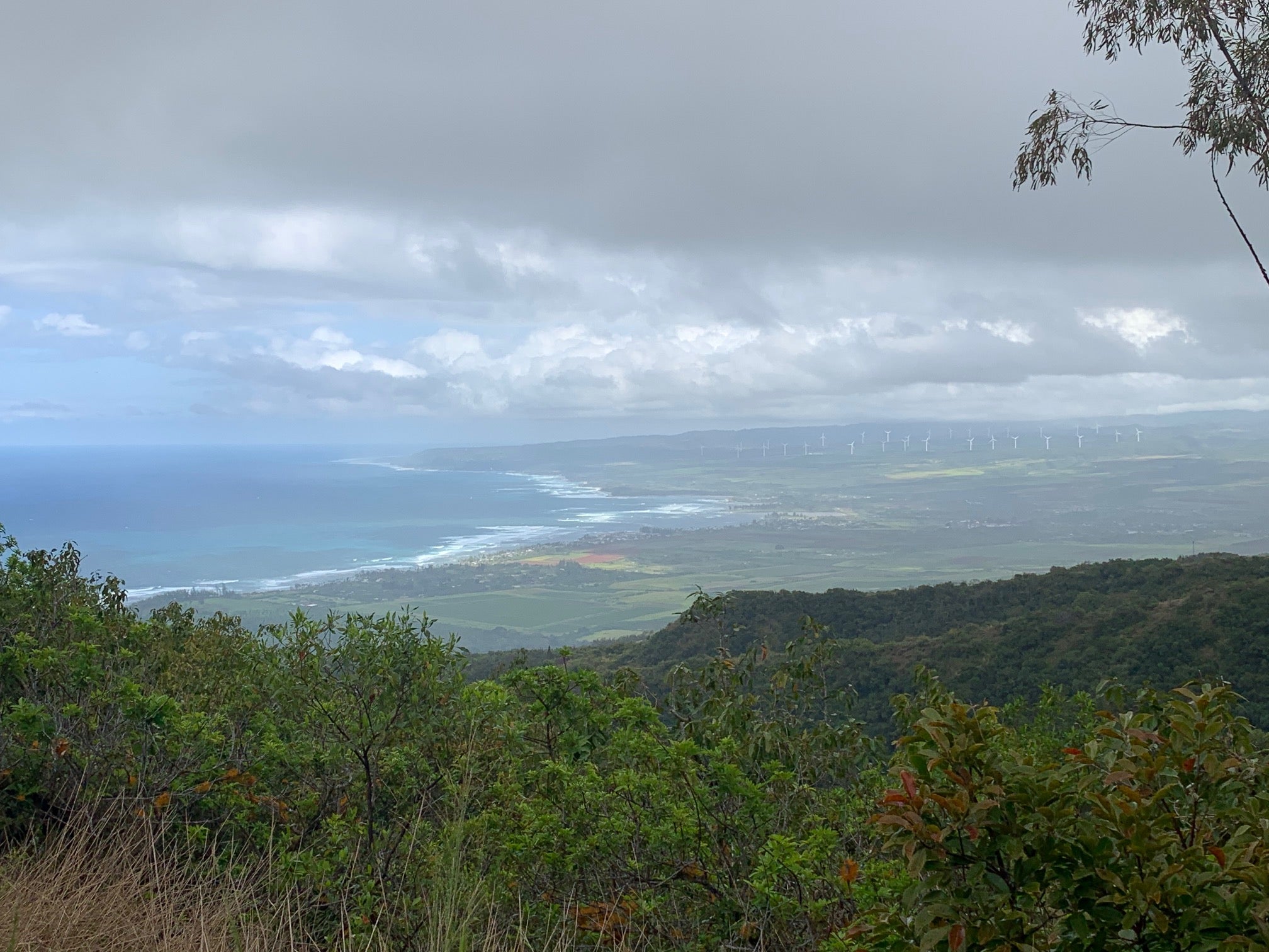
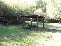
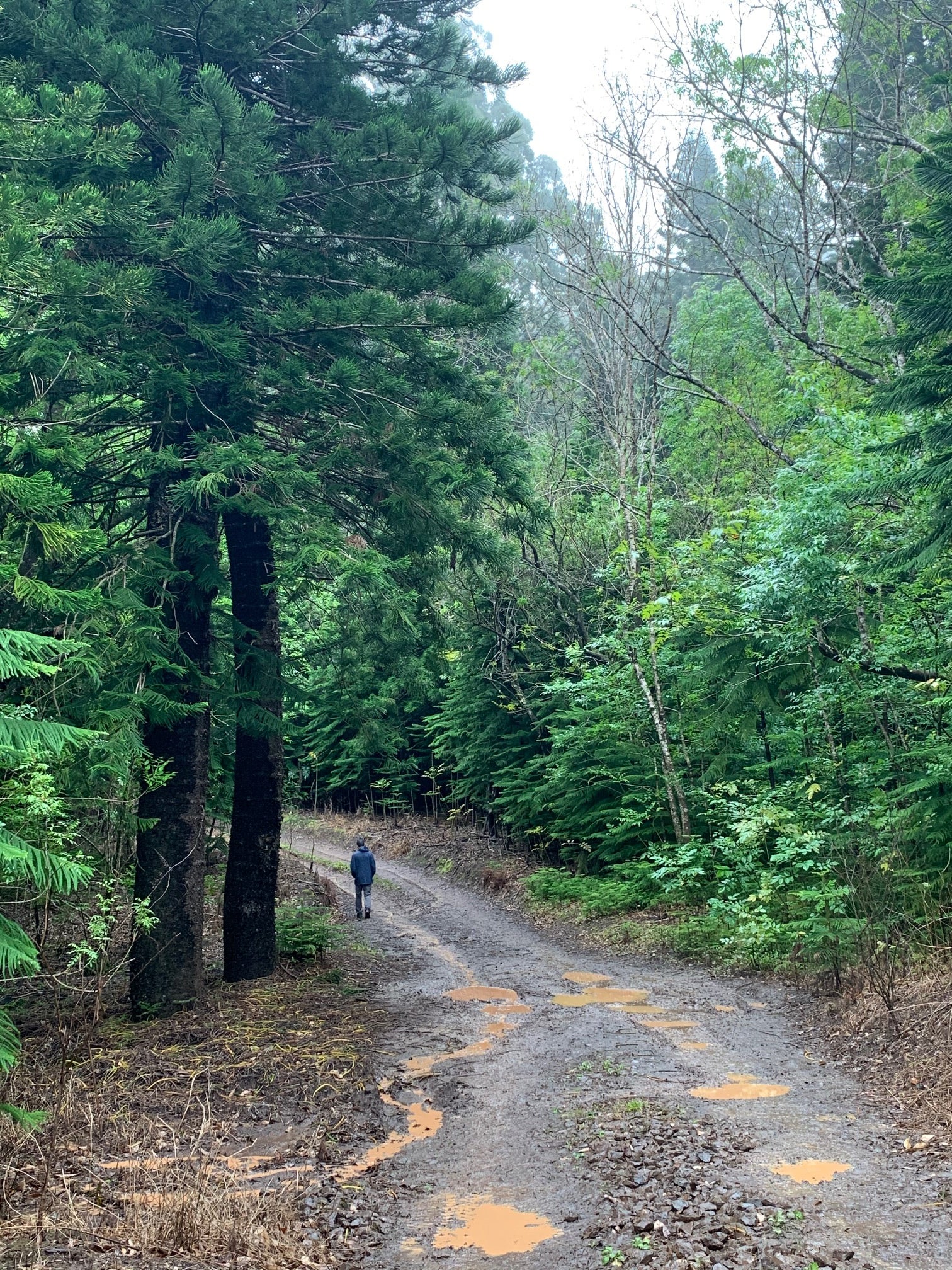
Mokuleia Forest Reserve. Upper elevation, open meadow surrounded by Cook pine, eucalyptus and the occasional native tree. Sweeping views of north shore and excellent star gazing on clear nights. Each campsite has a shelter. No water available. Hiking access to Mokuleia Trail. Campsites are assigned upon purchase of permit. Check-out is by 11:00am. Check-in is any time after 12:00pm noon.
Know before you go! All Forest Reserves will be closed during Tropical Storm and Hurrican Warnings. Keep informed on weather conditions and forecasts.
Occassionally, the Air Force closes vehicular access through the Kaena Point Satellite Tracking Station at Yokohama for security reasons. These closures may be unannounced. It is recommended that you call the KPSTS land line is (808)697-4311 to check on potential closures.
Location
Peacock Flats - Mokuleia Forest Reserve is located in Hawaii
Directions
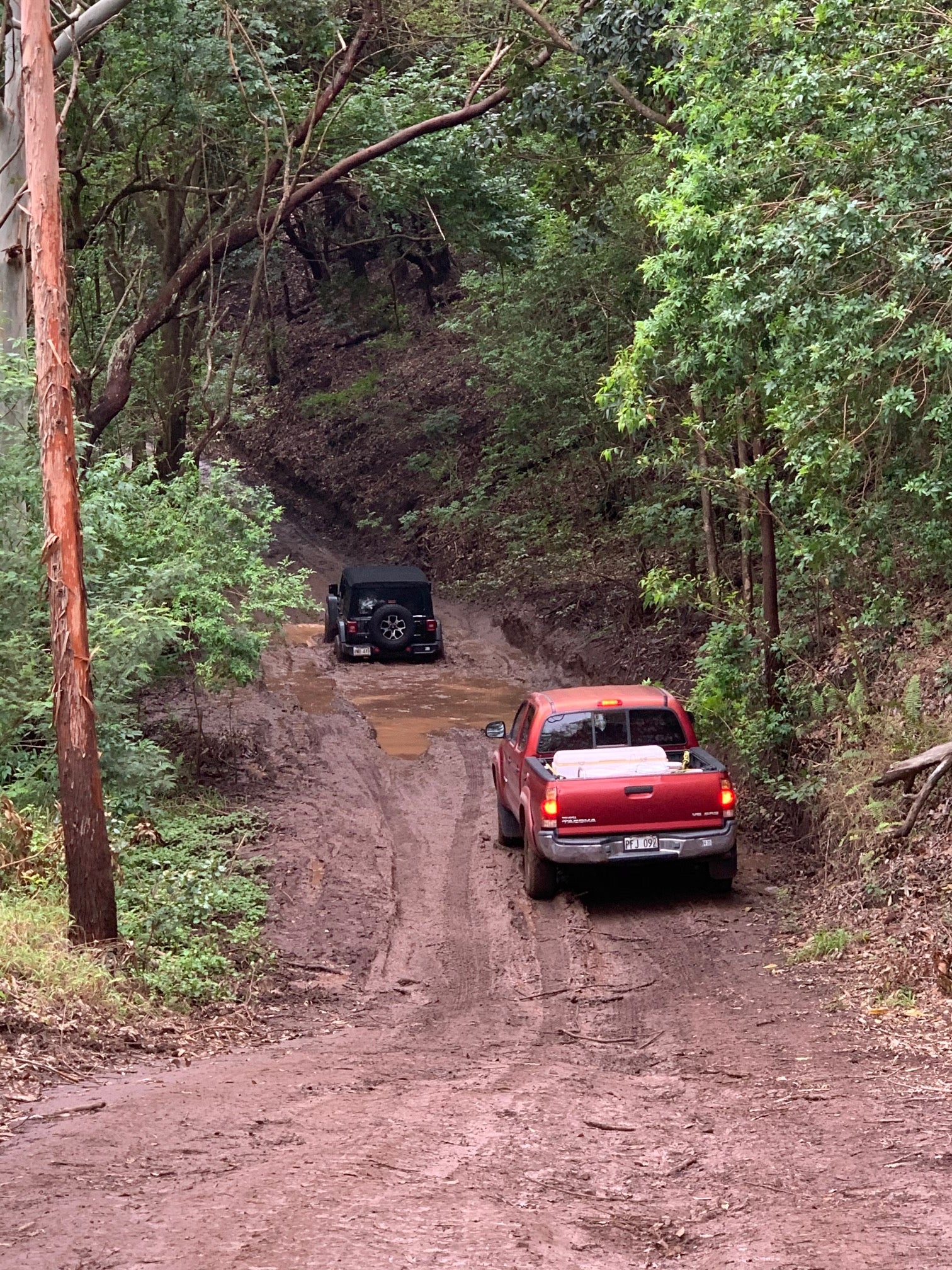
Drive towards Kaena Point on Farrington Highway until you reach Yokohama Bay. Turn right and check in with your permit at the security guard station. Proceed up the road until you get to the intersection with the second guard shack on the left. Turn right at the stop sign and proceed past the Kaena Point Tracking Station. Once past the tracking station, the road curves to the left and you will pass another intersection on the right. Adjacent to the next intersection is a large dirt parking area. Proceed past the parking area on the unpaved road that descends down into Manini Gulch. The campsite is 7.3 miles in. 4WD vehicles only. If you are hiking, access is also available on Mokuleia Access Road (just before the airfield on Farrington Hwy in Mokuleia).
Coordinates
21.54824469999997 N
158.1865168 W
Access
- Drive-InPark next to your site
- Walk-InPark in a lot, walk to your site.
- Hike-InBackcountry sites.
Stay Connected
- WiFiUnknown
- VerizonUnknown
- AT&TUnknown
- T-MobileUnknown
Site Types
- Tent Sites
- Dispersed
Features
For Campers
- Picnic Table
- Phone Service
- Reservable
- Toilets
- Alcohol
- Fires

