Established Camping
Halfmoon Campground
About
National Forest
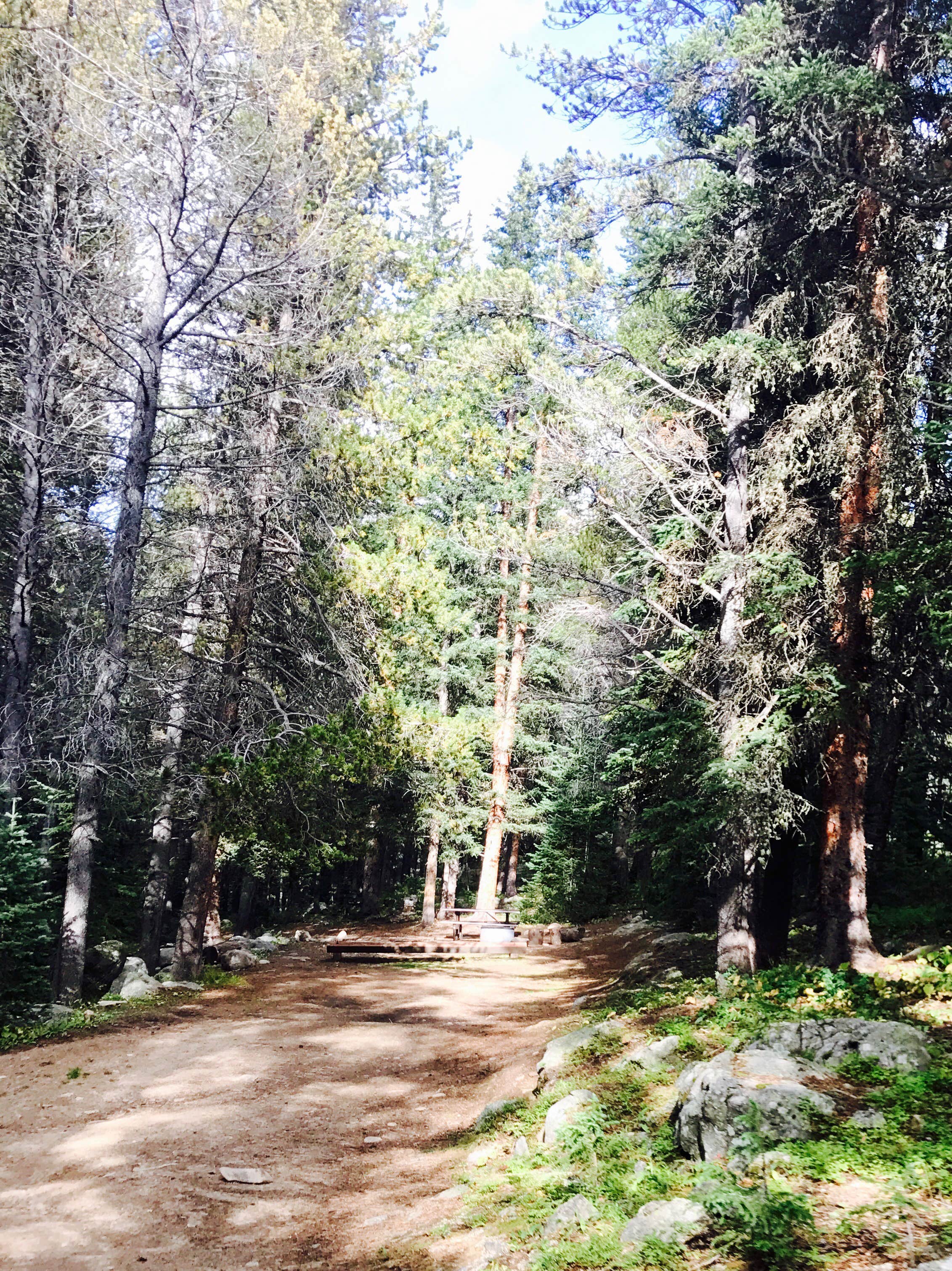
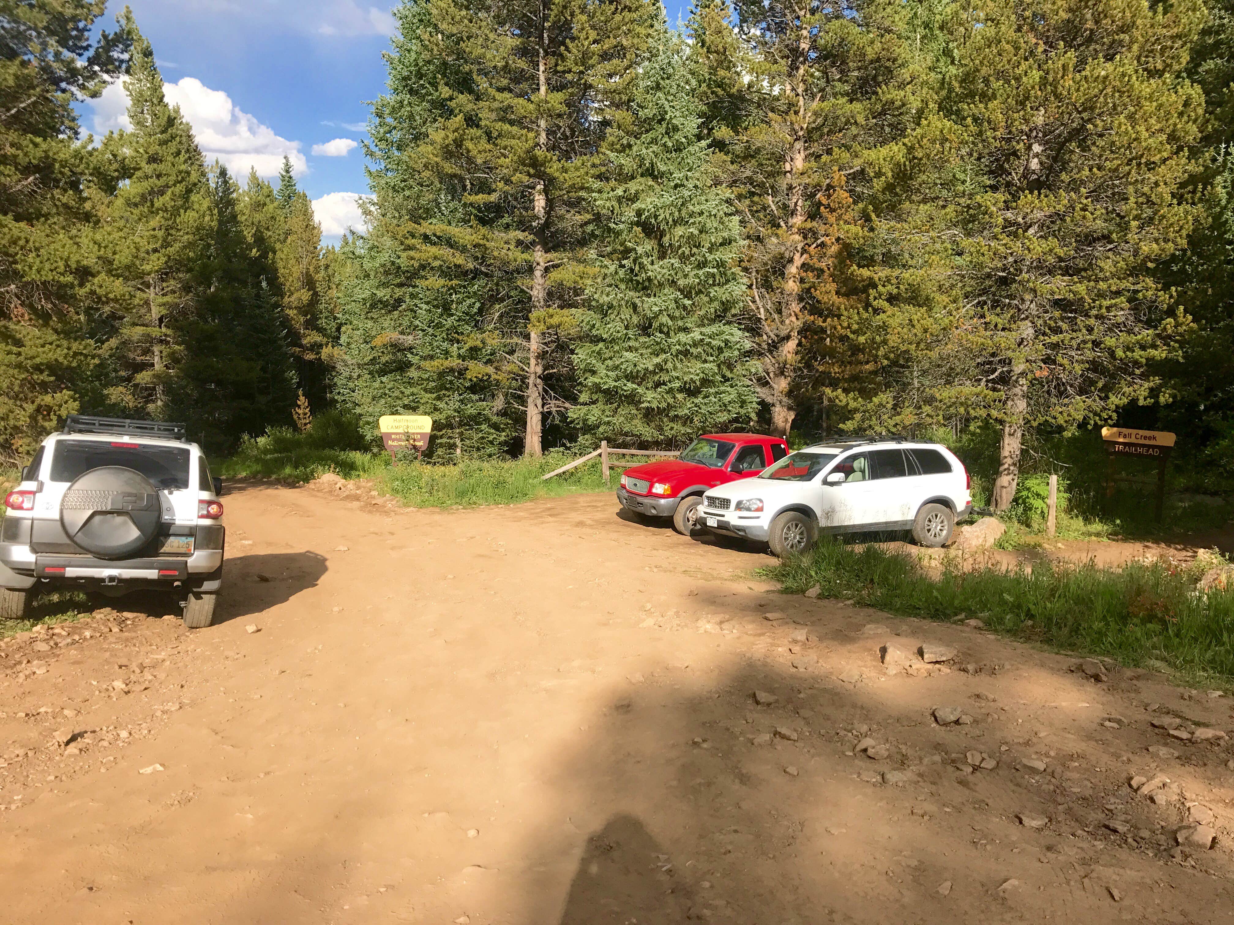
Bear activity has been increasing. For this reason a food storage order is in effect at all developed campgrounds on the Eagle/Holy Cross Ranger District, and the Piney Gaurd Station, Tigiwon Lodge, Mount of the Holy Cross Overlook, Homestake Road FSR 703, and Nolan Creek Road. This order requires all food and refuse to be stored in hard-sided vehicles, approved bear-resistant containers, or supended at least 10 feet clear of the ground at all points and four feet horizontally from any supporting tree or pole. This order has been issued to provide for public safety and wildlife conservation. Hopefully it will reduce wildlife habituation problems. The Halfmoon Campground is located at the top of Tigiwon Road #707 near the boundary for the Holy Cross Wilderness in a forested setting; all wilderness regulationsmust be observed when traveling in the wilderness (foot and horse travel only). This campground is located at the trailheads for several hiking trails and is heavily used by hikers who are climbing Mount of the Holy Cross. Due to the nature of the Forest Road to the campground and the short parking spurs within the campground, the Halfmoon Campground is not suitable for most RVs. There is a printable Recreation Quicksheet for this campground which is complete with directions, details, and other information about this campground.
Location
Halfmoon Campground is located in Colorado
Directions
Travel west on I-70 to Exit 171 for Minturn, Leadville, and Hwy 24.Turn right and travel south about 5 miles.Immediately before crossing the Eagle River, turn right onto Tigiwon Road - FSR 707 and continue up this dirt road for 8 miles to the campground at the end.
Coordinates
39.5011541 N
106.4318844 W
Access
- Drive-InPark next to your site
- Boat-InSites accessible by watercraft.
Stay Connected
- WiFiUnknown
- VerizonUnknown
- AT&TUnknown
- T-MobileUnknown
Site Types
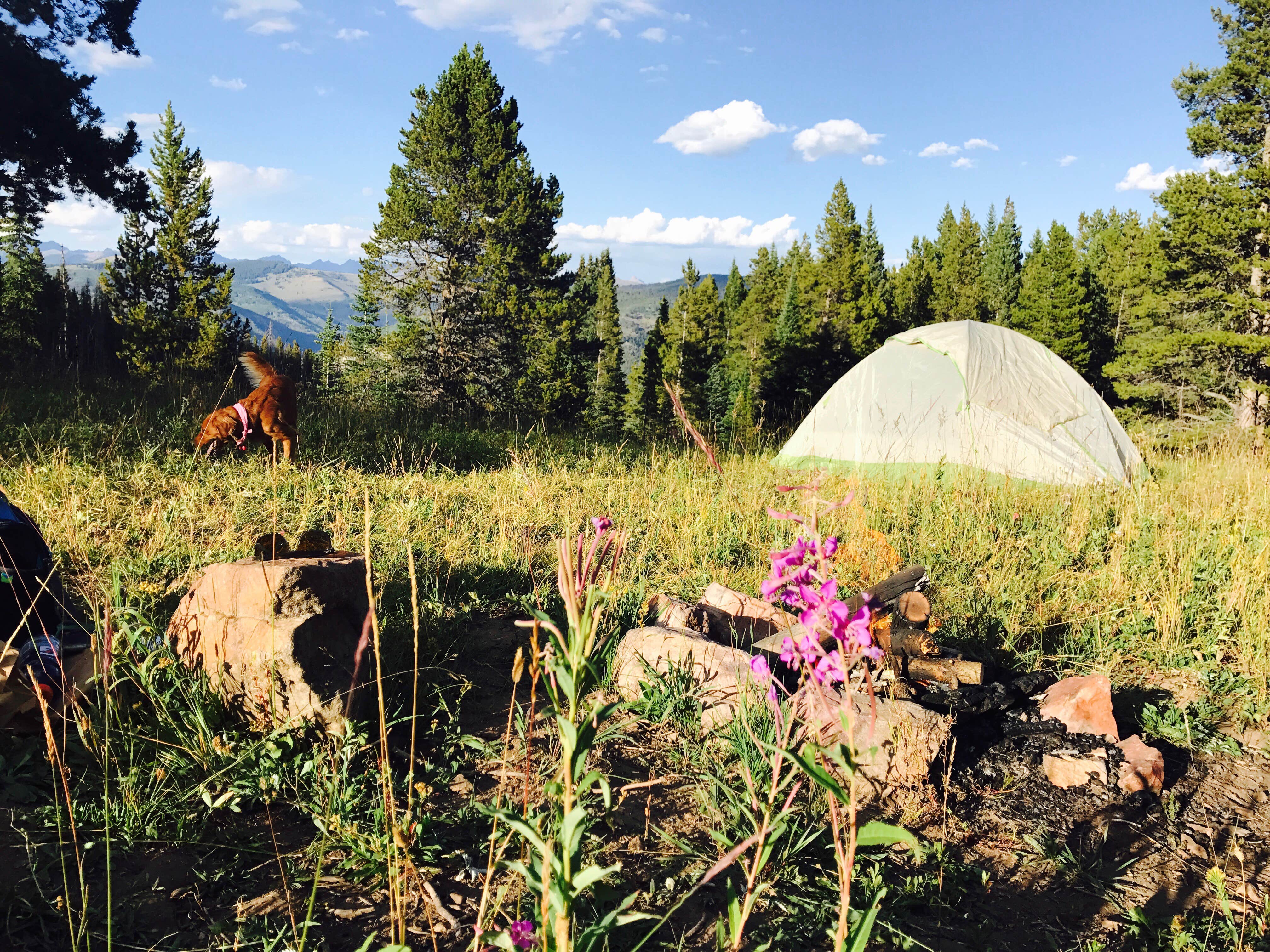
- Tent Sites
- Standard (Tent/RV)
- Group
- Tent Cabin
Features
For Campers
- Picnic Table
- Phone Service
- Toilets
- Alcohol
- Pets
- Fires

