Established Camping
Columbine Campground
About
National Forest
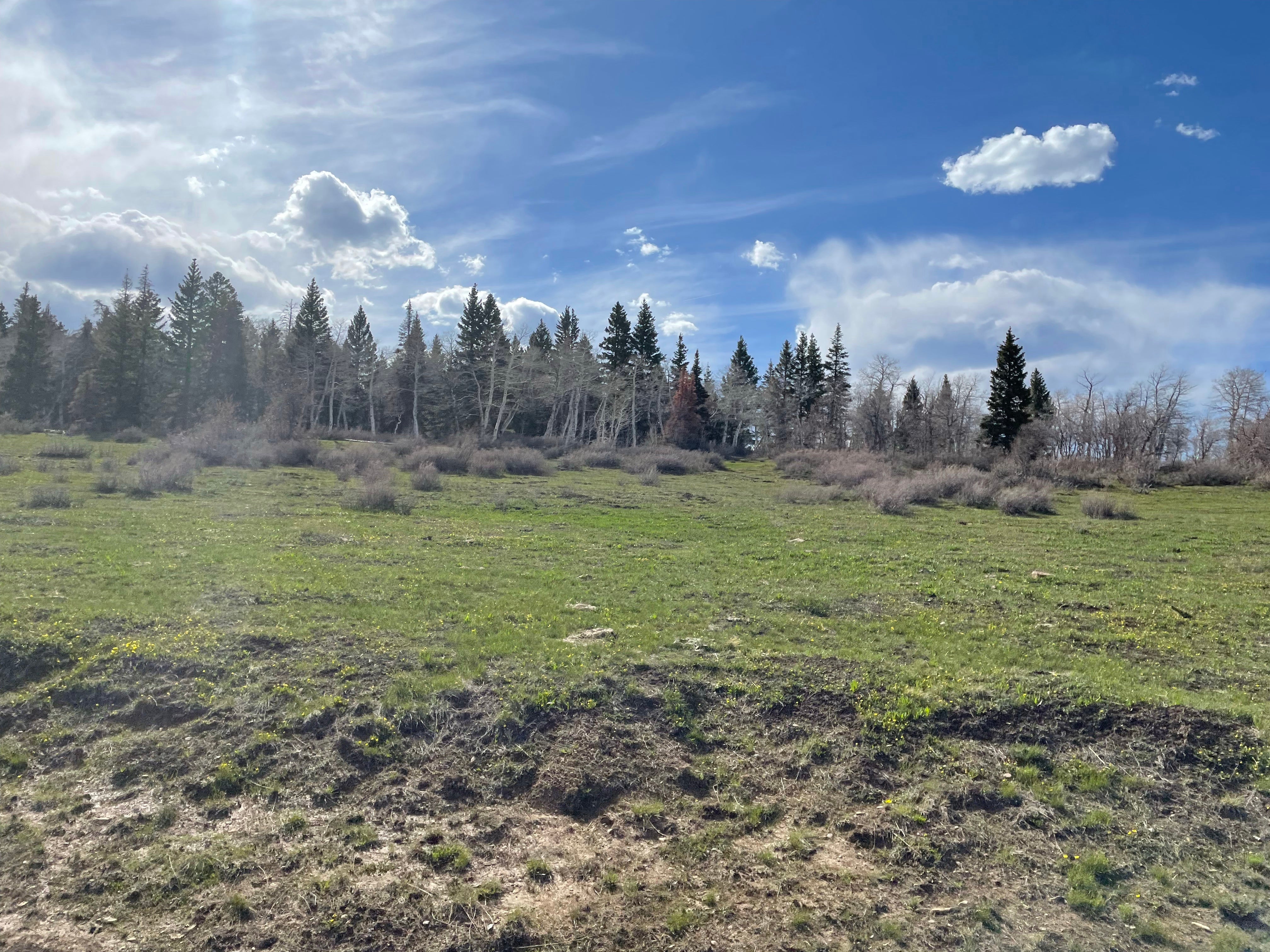
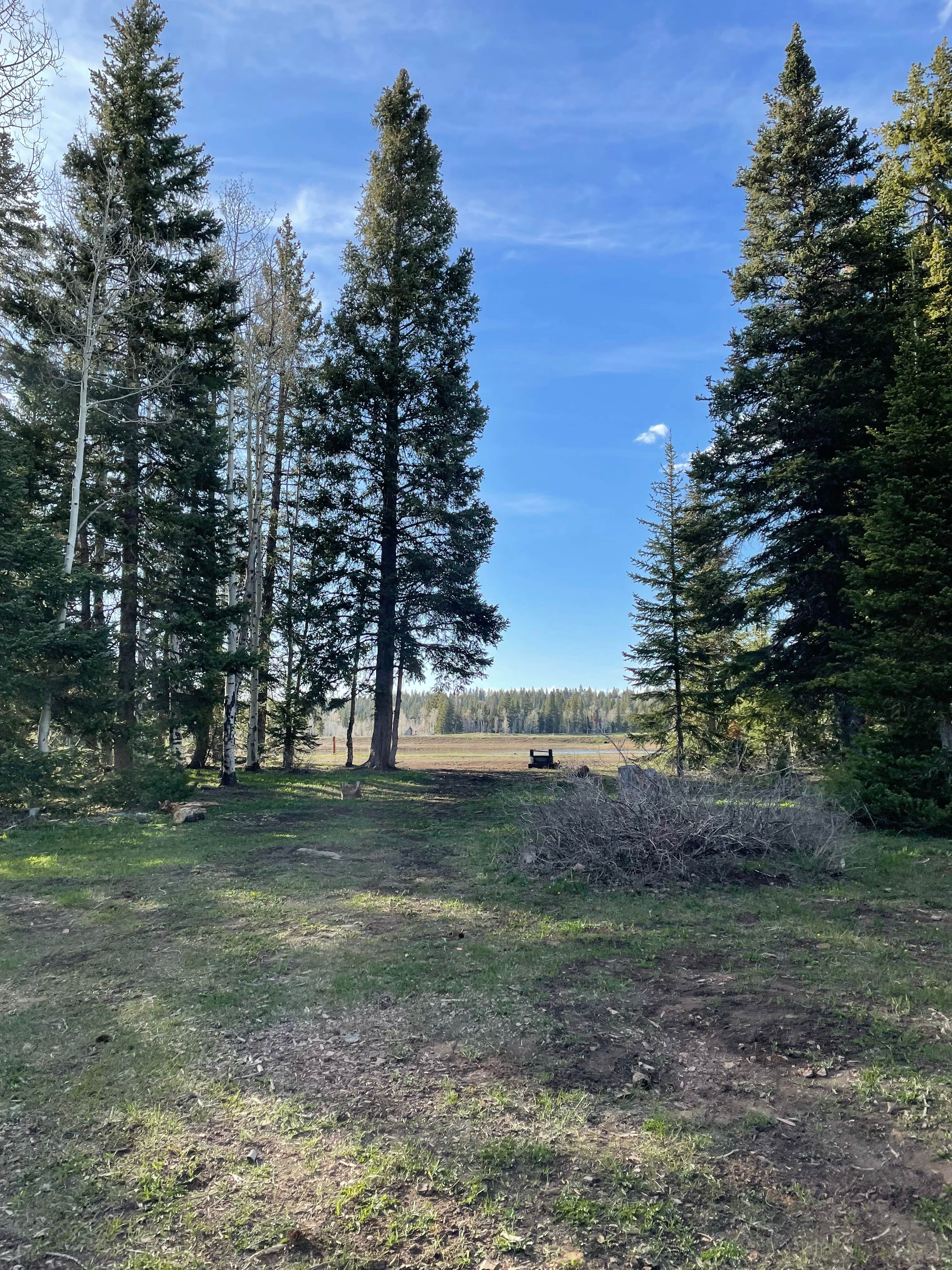
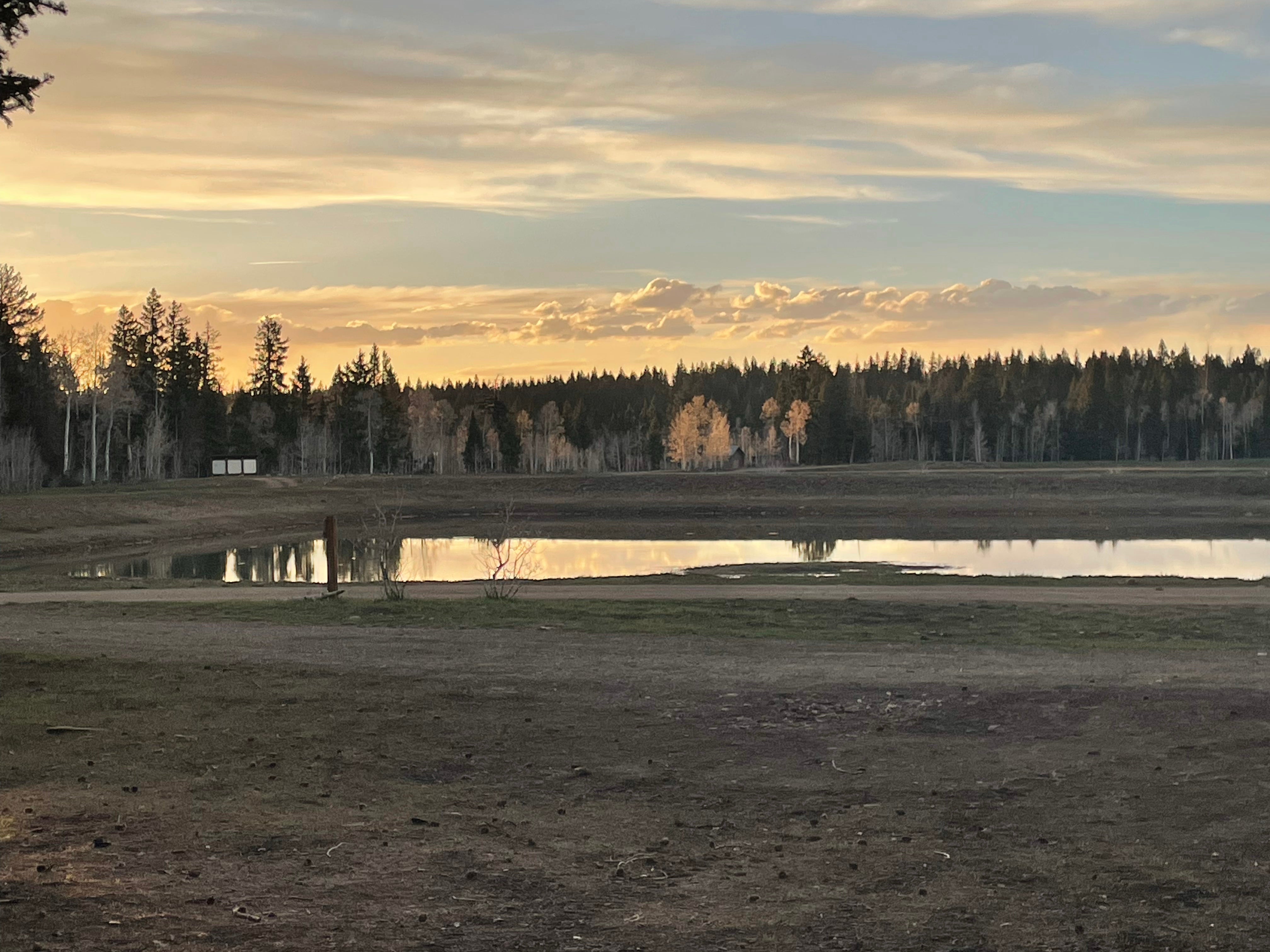
Columbine Campground has 6 designated campsites on the Uncompahgre Plateau. The Campground has tables and fire rings/grills with a vault restroom. Popular activities in the area are hiking, ATV riding, horseback riding, mountain bike riding. There is no drinking water or trash collection at the campground.
Location
Columbine Campground is located in Colorado
Directions
From I25 in Denver, take 6th Ave West to state Highway 6, through clear Creek Canyon. Proceed north on State Highway 119, turn left on Gilpin County Road 279 (Gregory St. next to Bullwackers Casino) in Black Hawk, follow signs to Central City. Gregory St. changes to Lawrence St, at Central City limits, then changes to Eureka St. midway thru Central City. Proceed on Eureka St. until road turns to gravel \& follow signs to campground. Campground is located 2 miles northwest of Central City on County Road 279. Two and one-half miles Northwest of Central City via Gilpin County Road 3 on Forest Road 176. At the top near the cemeteries, follow the signs to the campground.
Coordinates
38.44028189 N
108.38133918 W
Access
- Drive-InPark next to your site
Stay Connected
- WiFiUnknown
- VerizonUnknown
- AT&TUnknown
- T-MobileUnknown
Site Types
- Tent Sites
- RV Sites
- Standard (Tent/RV)
- Group
Features
For Campers
- Toilets
- Alcohol
- Pets
- Fires


