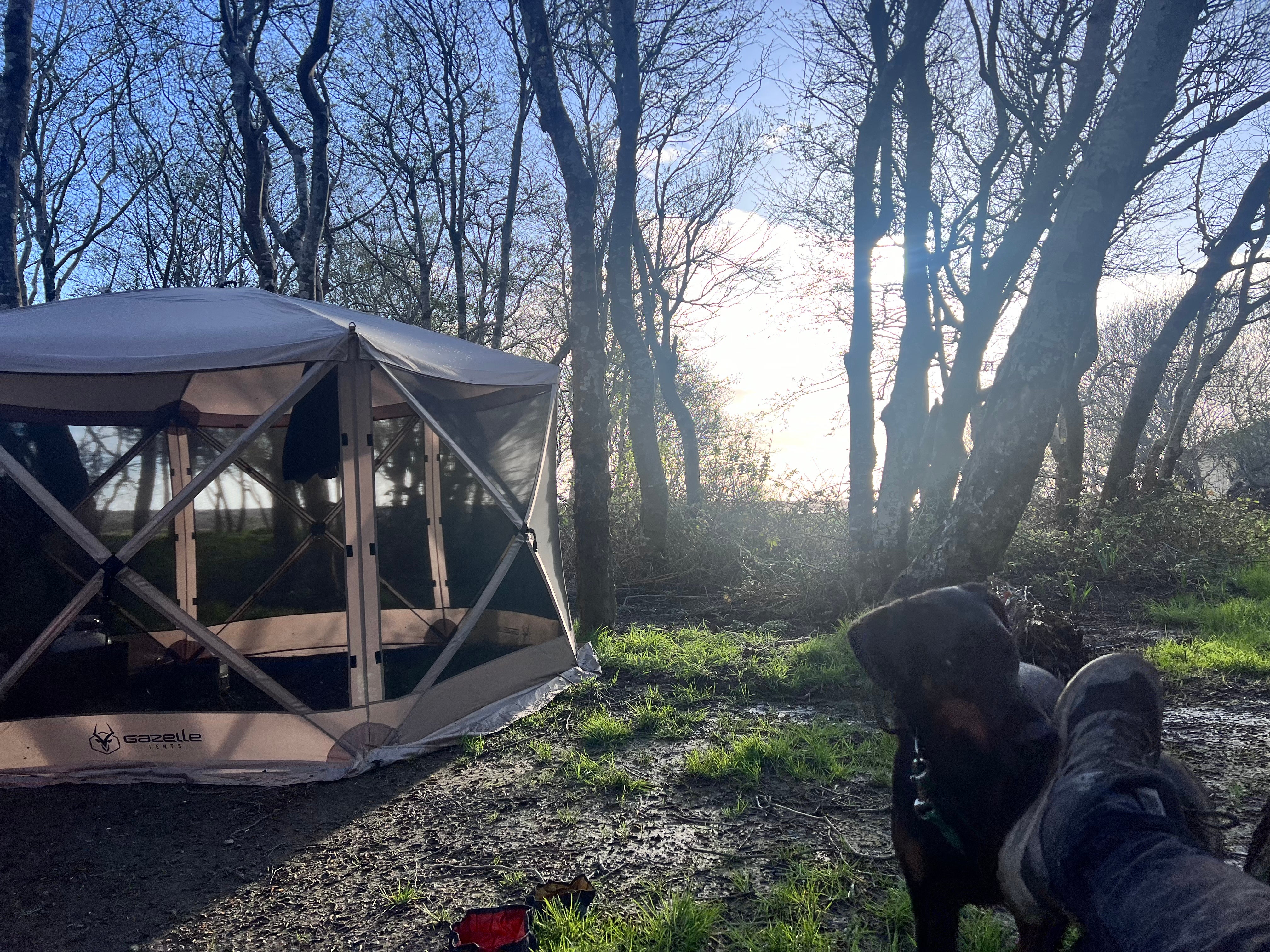
Dispersed Camping
Usal Beach Campground
About
State Park
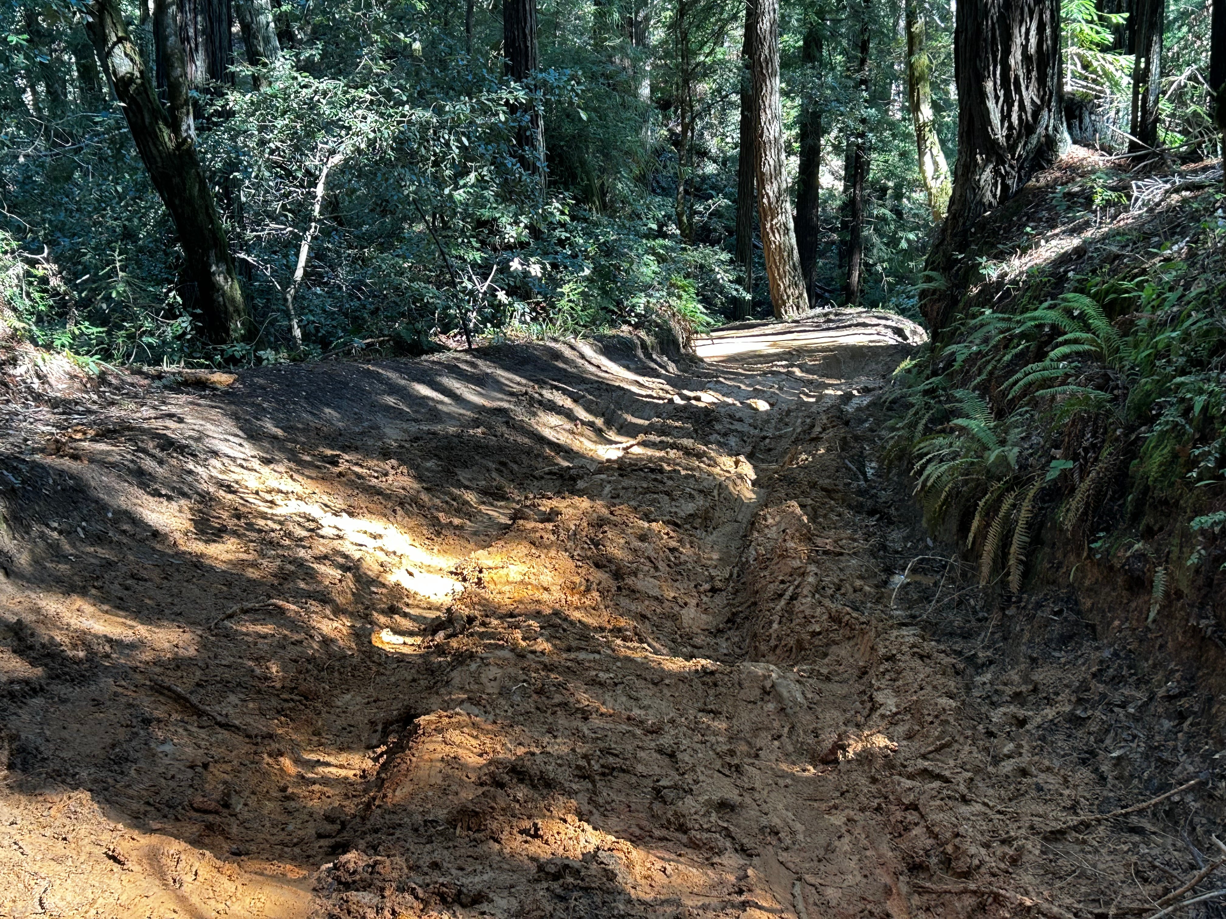
ROADS MAY BE IMPASSABLE IN WET WEATHER. RV'S & TRAILERS NOT RECOMMENDED.
Sinkyone Wilderness State Park lies on the southern portion of the Lost Coast, a 60-mile stretch of wilderness comprising the park and the King Range National Conservation Area.
For thousands of years before the first Europeans arrived, the Sinkyone Indians lived on this part of the coast. They occupied permanent villages beside streams and rivers, and moved out in family groups to hunt and forage in the hills during the summer. They fished, gathered seaweed and shellfish, hunted seals and sea lions, and harvested the occasional dead whale washed on shore. All kinds of fish were caught, but the seasonal salmon run was especially important.
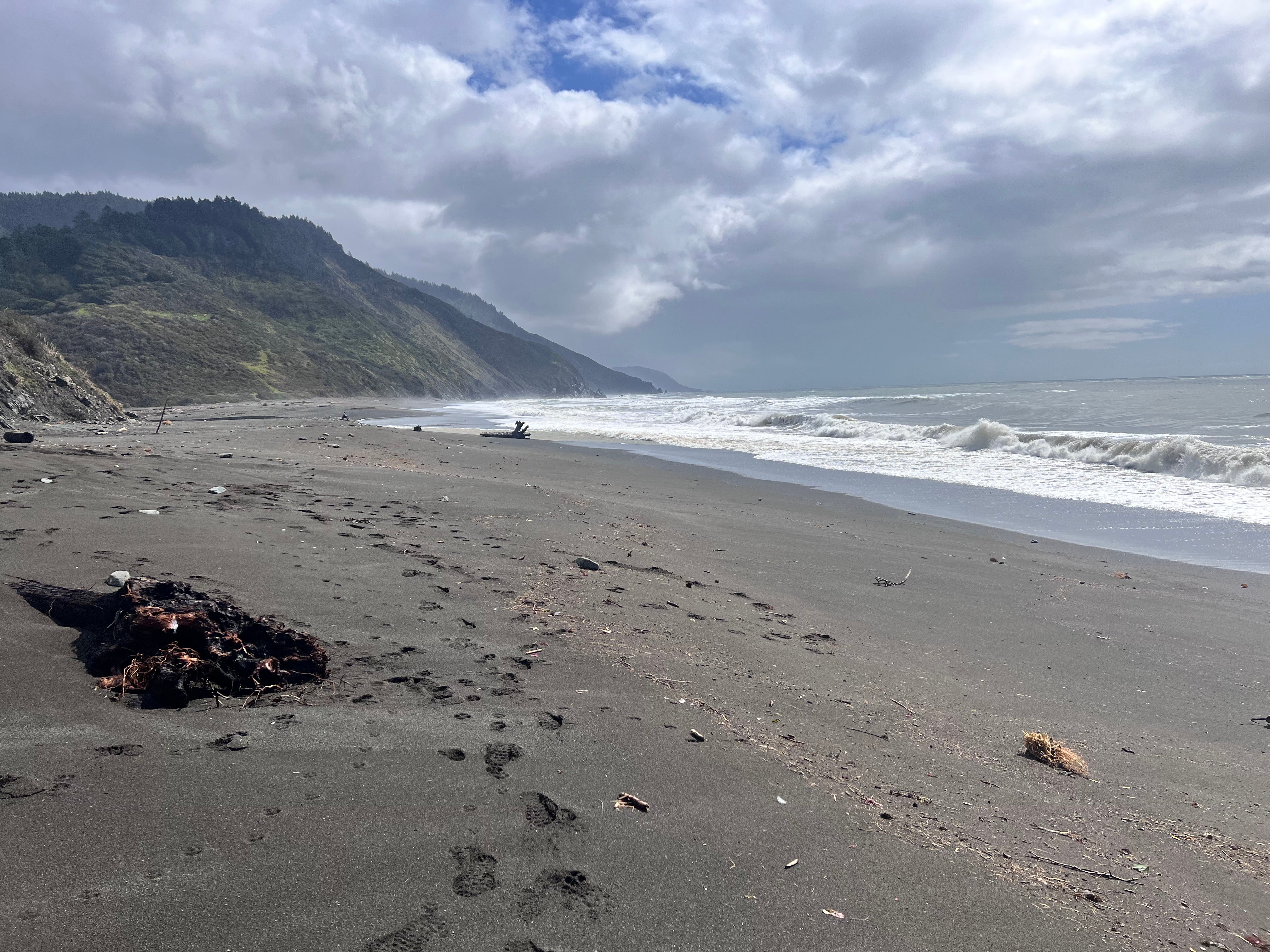
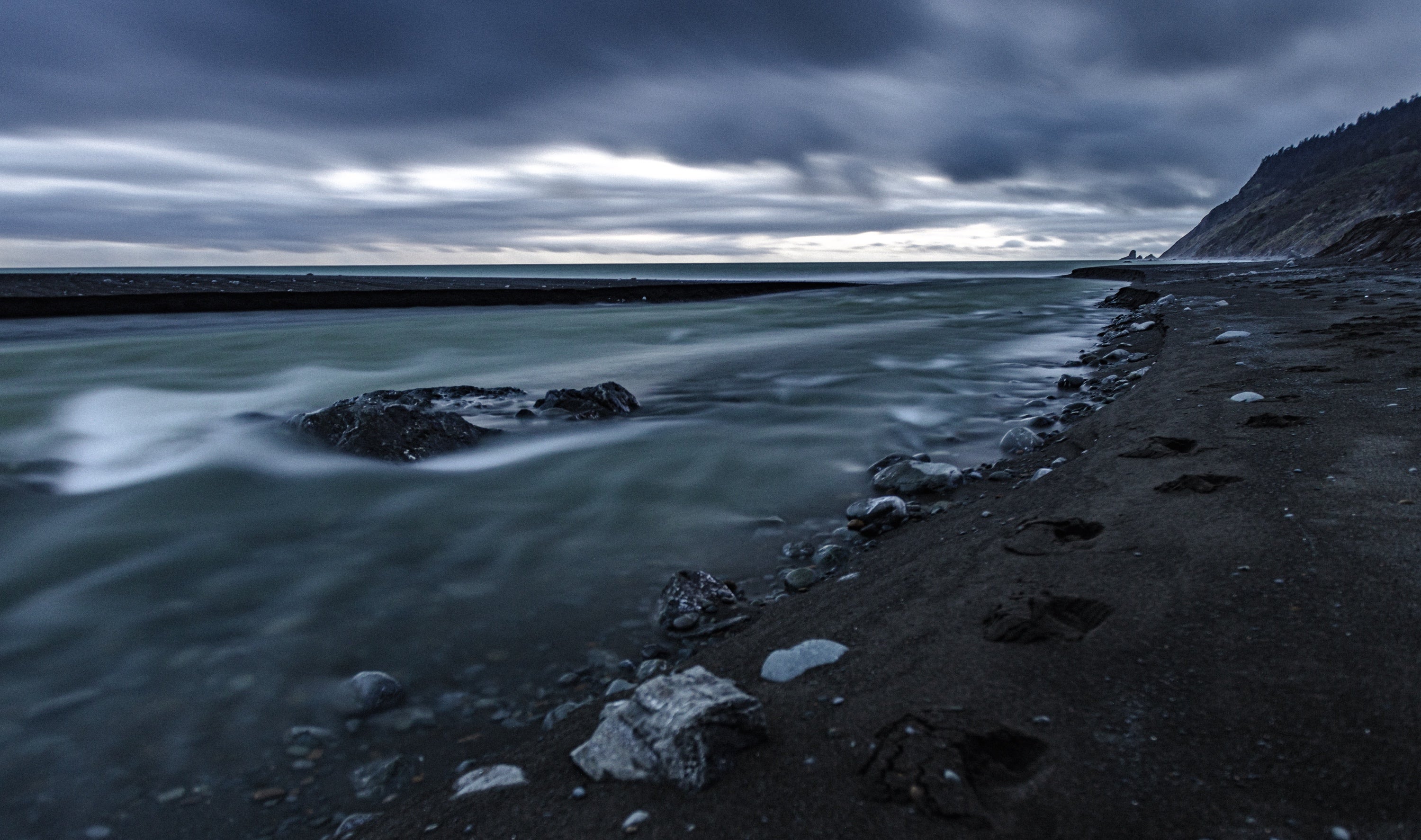
Today, the Lost Coast Trail follows the whole length of the rugged Sinkyone coastline. Gray whales pass by during the winter and early spring. Roosevelt elk roam the grasslands. Sea lions and harbor seals hang out in rocky coves. It’s an arresting landscape, with canyons, arches, tide pools, sea stacks, seasonal wildflowers, waterfalls, and dark sand beaches. On a sunny day, the sea looks turquoise, giving the park tropical feeling.
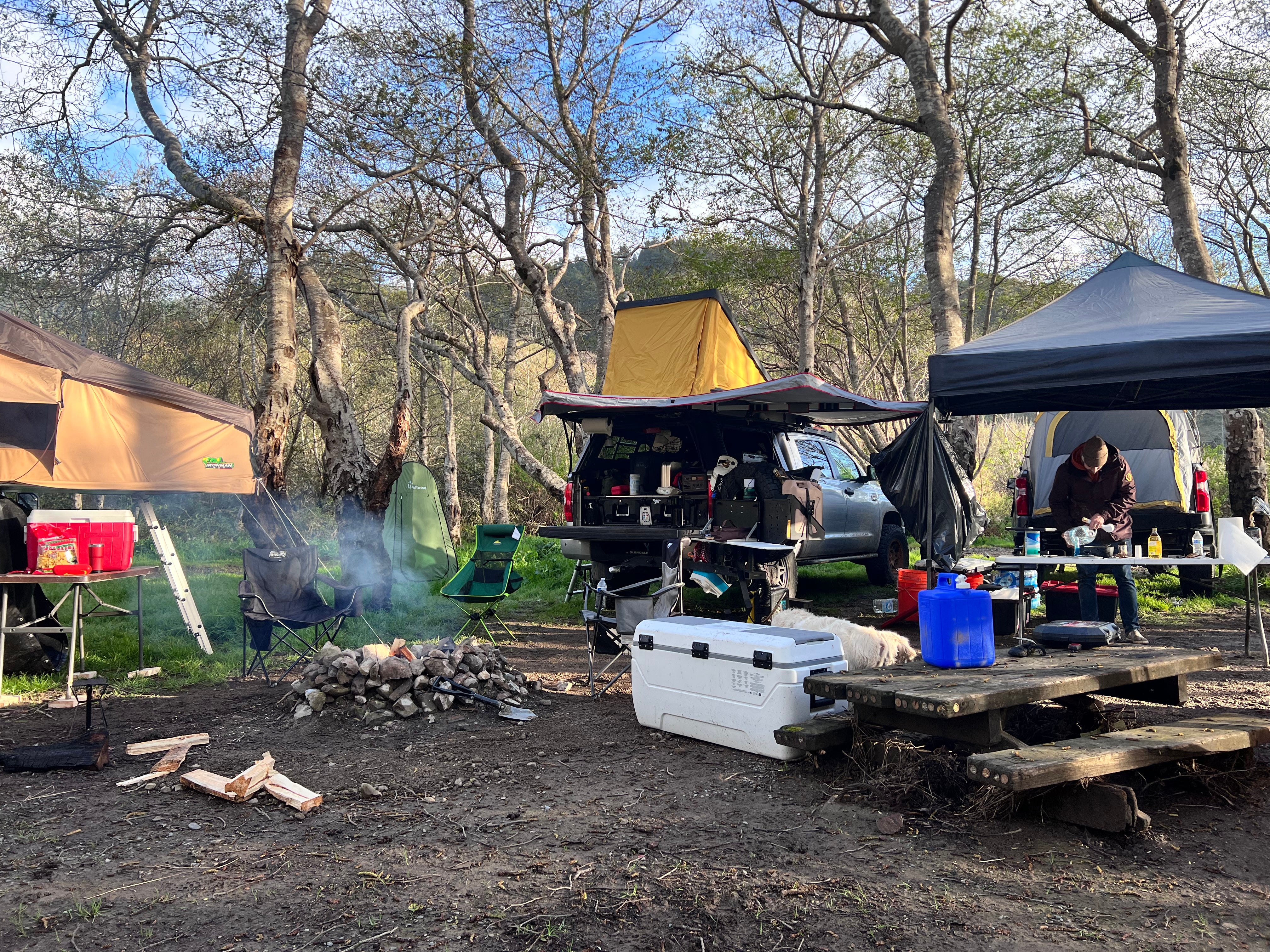
Some aspects of the Sinkyone keep crowds away. Its trails are steep and its campgrounds are primitive. There’s no potable water, and you have to haul out your own trash. When wet, the park’s twisting dirt roads are impassable for passenger cars. More than a few visitors have had to stay an extra day or two because a mudslide or fallen tree closed their route home. “The Sinkyone lets you go when it wants to let you go,” a park ranger says. In other words, it’s a real wilderness.
Fee Info
Fees are collected at Needle Rock via self-registration with cash or check only.
Location
Usal Beach Campground is located in California
Directions
South end of wilderness (Usal Beach): Approximately one hour north of Ft Bragg on PCH or 15 miles west of Leggett on PCH from Highway 101. Look for mile marker 90.88 on PCH. Turn north for approximately 6 miles onto unpaved, steep, narrow road. ROADS MAY BE IMPASSABLE IN WET WEATHER. RV'S & TRAILERS NOT RECOMMENDED.
Coordinates
39.833066 N
123.844843 W
Access
- Drive-InPark next to your site
- Walk-InPark in a lot, walk to your site.
Stay Connected
- WiFiUnknown
- VerizonUnknown
- AT&TUnknown
- T-MobileUnknown
Site Types
- Tent Sites
- Dispersed
- Group
Features
For Campers
- Toilets
- Alcohol
- Pets
- Fires

