Free Camping Collection
Dispersed Camping
Marshall Lake
About
USDA Forest Service
Coconino National Forest
Marshall Lake is a small marshy body of water that's generally full of coots and other waterfowl splashing, flapping, and cooting around. It is such valuable wildlife habitat that it is managed in partnership by Ducks Unlimited and the Arizona Game and Fish Department.
During most years the lake has enough water in it to be stocked with trout by the Arizona Game and Fish Department. In dry years, however, it may temporarily disappear! Even when the lake is dry this area still offers excellent opportunities for outdoor recreation.
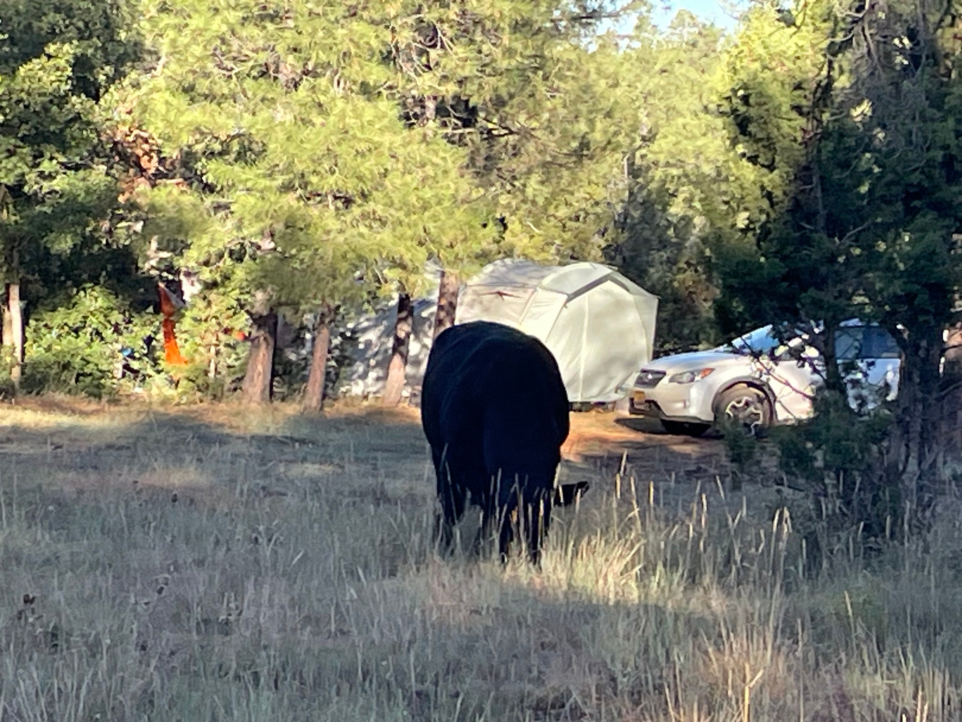
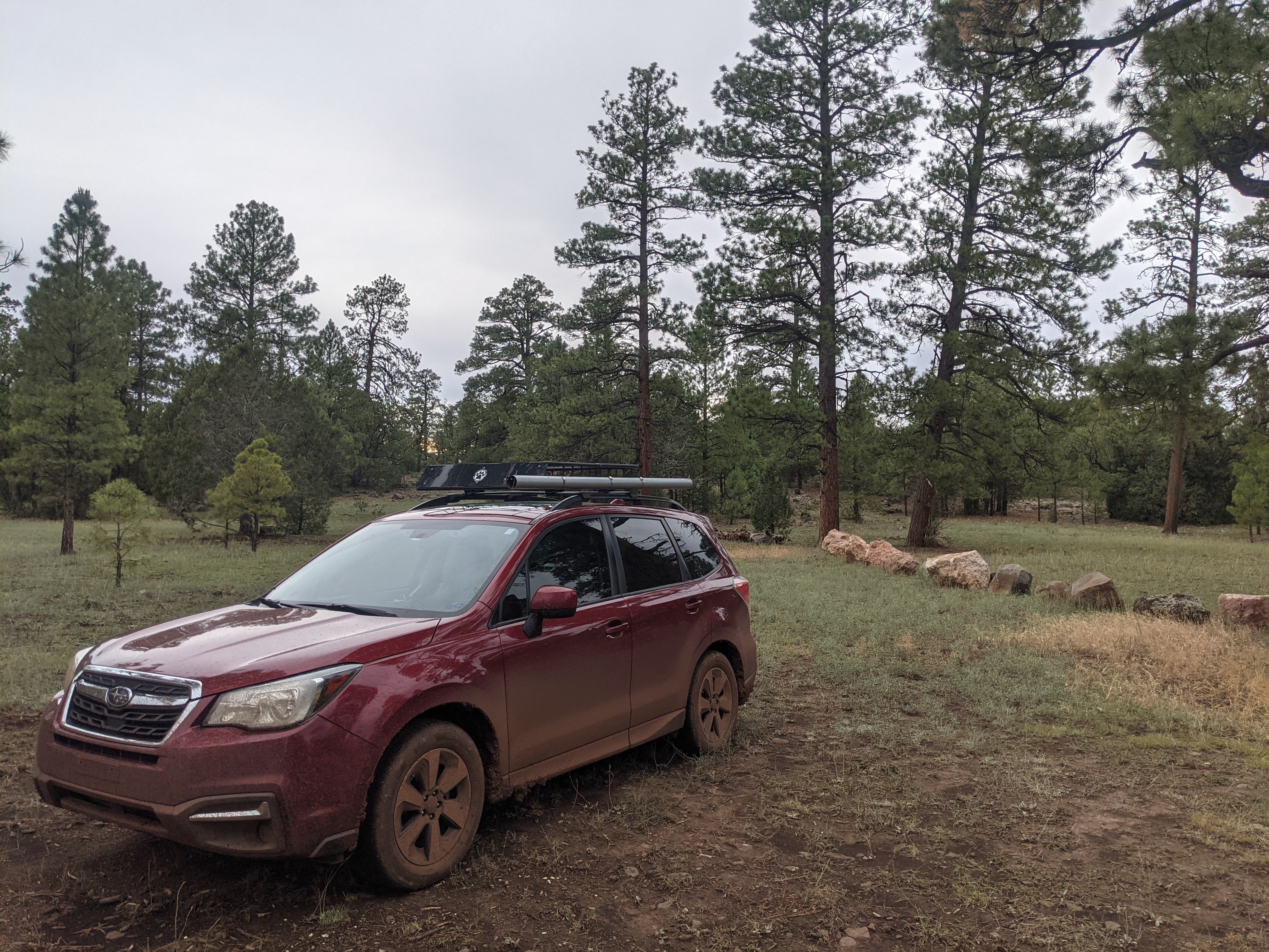
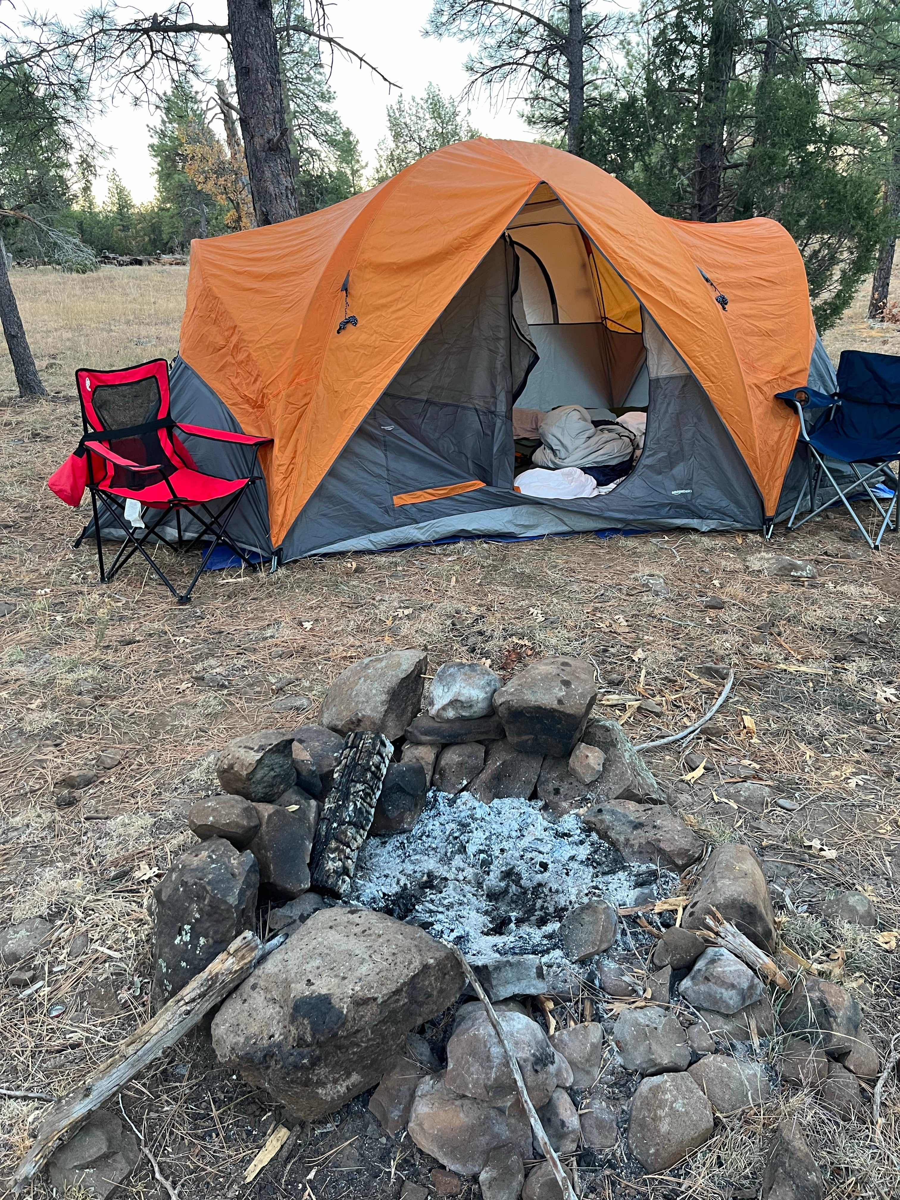
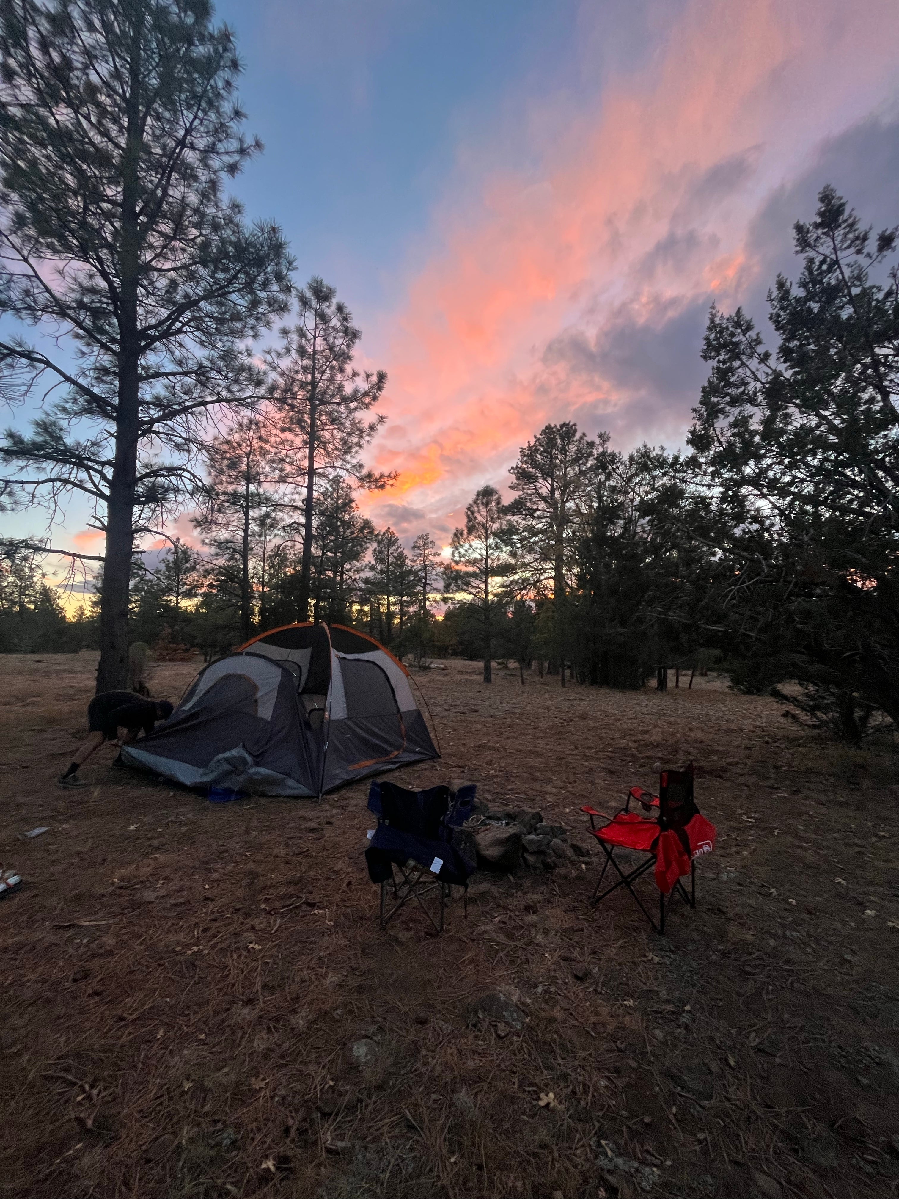
Dry or wet, a number of primitive campsites near the east side of the lake provide exceptional views of the peaks from pine sheltered locations. The surrounding area also serves as a good place to come to see some of this area's plentiful elk or its rare wintering bald eagles. The lake itself provides a hunting site for resident ospreys and a rest stop for migrating waterfowl.
Reservation Info
Season: Opens in early May and closed in mid-October. This seasonal opening is due to rough terrain and weather conditions.
Attractions: fishing (usually), picnicking, camping (primitive), wildlife watching, mountain biking, and photography
Facilities: Primitive boat launch on east side
The northwest side of the lake is closed to vehicular traffic to protect waterfowl nesting habitat. No toilets, tables, or drinking water available. Camping next to the lake is not allowed; camp on the other side of the road.
Location
Marshall Lake is located in Arizona
Directions
Location: About 12 miles southeast of Flagstaff on paved and unpaved road. GPS (Map): 35°06'44.6"N 111°32'18.4"W Access: Drive 9 miles south from Flagstaff on Forest Highway 3 (Lake Mary Road). Turn east (left) on Forest Road 128 about 3 miles to the lake. The last mile or so is unpaved and may be impassable at times due to wet conditions. The road is closed in the winter.
Coordinates
35.112398 N
111.538442 W
Access
- Drive-InPark next to your site
- Walk-InPark in a lot, walk to your site.
Stay Connected
- WiFiUnknown
- VerizonPoor
- AT&TUnknown
- T-MobileGood
Site Types
- Dispersed
Features
For Campers
- ADA Access
- Phone Service
- Alcohol
- Pets
- Fires
For Vehicles
- Big Rig Friendly

