Established Camping
Burnt Corral Campground
About
USDA Forest Service
Tonto National Forest
Overview
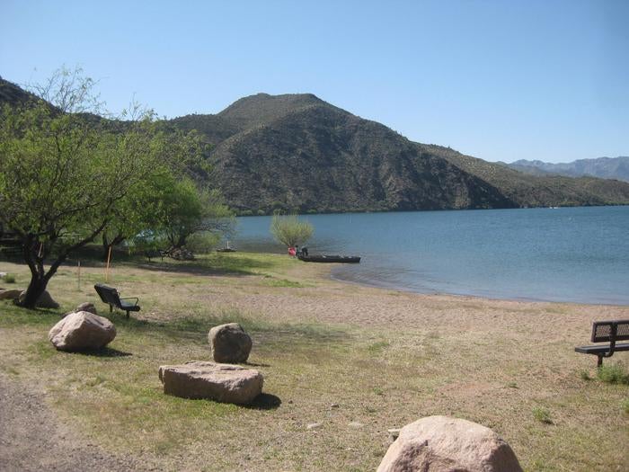
Burnt Corral Campground and Recreation Area (elevation 1914') is about 5.8 miles south of Roosevelt Dam along the Apache Trail (AZ Hwy 88) along the shoreline of Apache Lake. It is nestled amongst the saguaros, mesquites, and palo verdes, and offers opportunities to boat, swim, fish, relax, hike, and sightsee.____
Recreation
Burnt Corral Campground offers something for almost everyone. Motorboating, fishing, water-skiing, and paddlesports are very popular because of the developed and undeveloped lake access from within the campground. Others may enjoy hiking nearby trails, being challenged by local jeep trails, or practicing their landscape photography, or simply relaxing with a good book.
Facilities
Burnt Corral Campground offers something for almost everyone. Motorboating, fishing, water-skiing, and paddlesports are very popular because of the developed and undeveloped lake access from within the campground. Others may enjoy hiking nearby trails, being challenged by local jeep trails, or practicing their landscape photography, or simply relaxing with a good book.
Natural Features
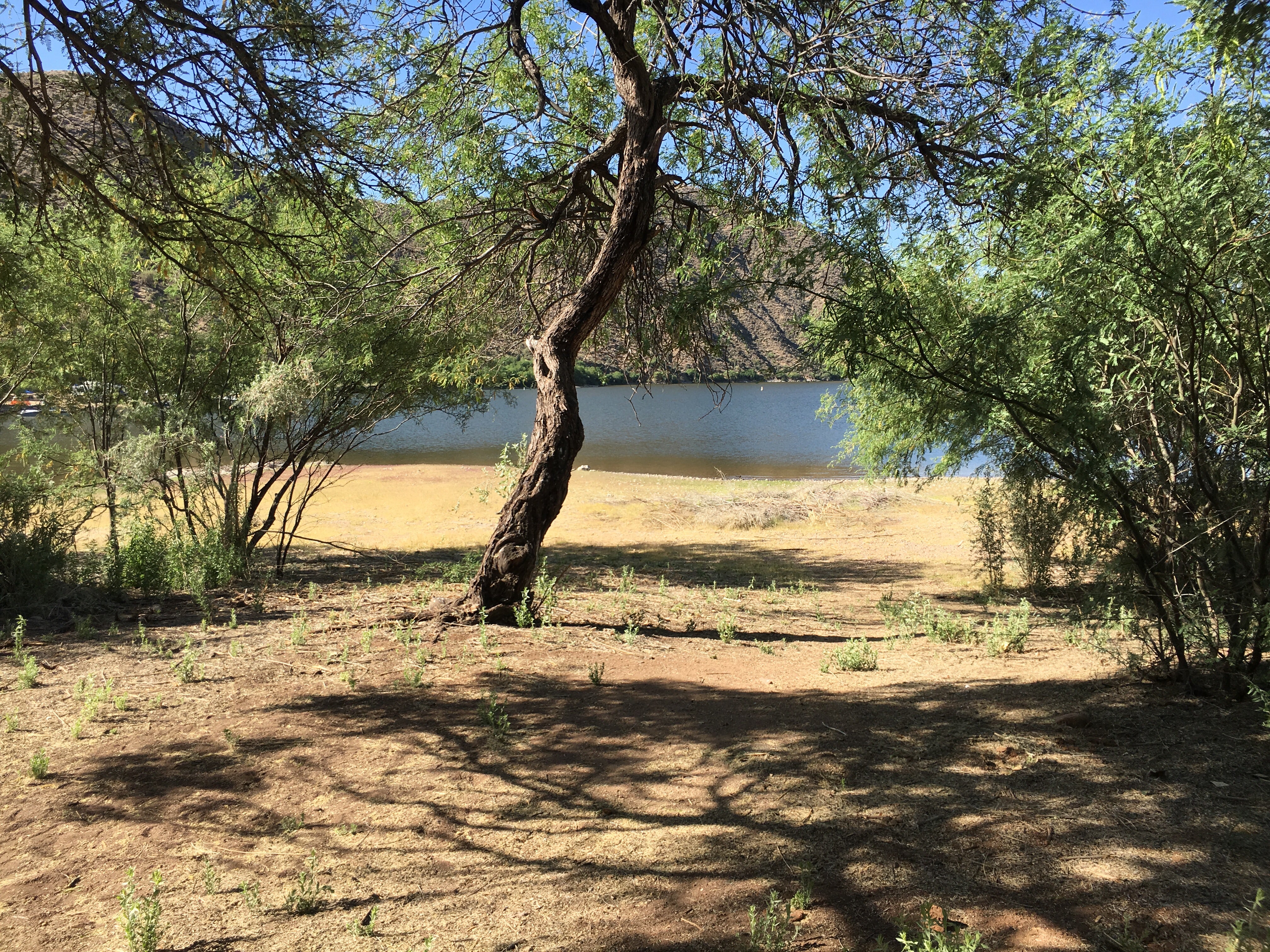
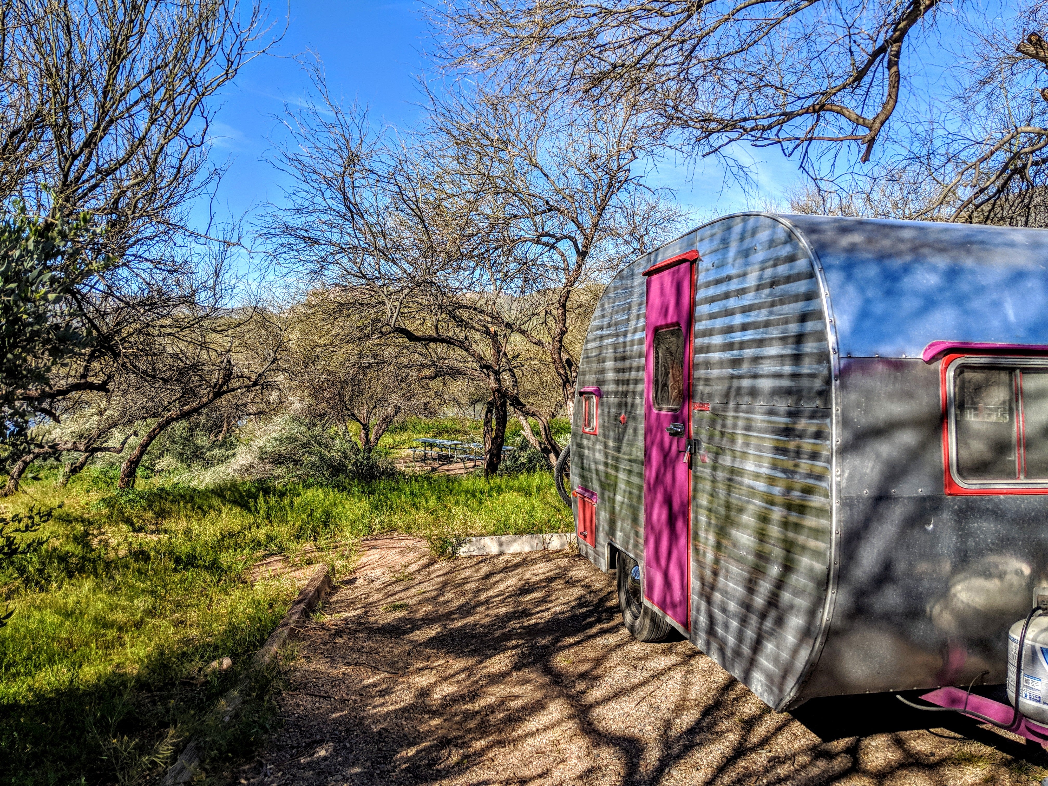
Burnt Corral Campground is situated in what may be the most stunning Sonoran Desert landscape in Arizona. The contrast of sunshine, clear blue water, and saguaro's surrounded by the Four Peaks and Superstition Wilderness' is a magnificant sight to see. While shade is scarce in the desert, campsites are situated amongst mature mesquite and palo verde trees, and desert chaparral. Apache Lake is 17 miles long making it the longest in the chain of reservoirs on the lower Salt River below Roosevelt Dam.__
Nearby Attractions
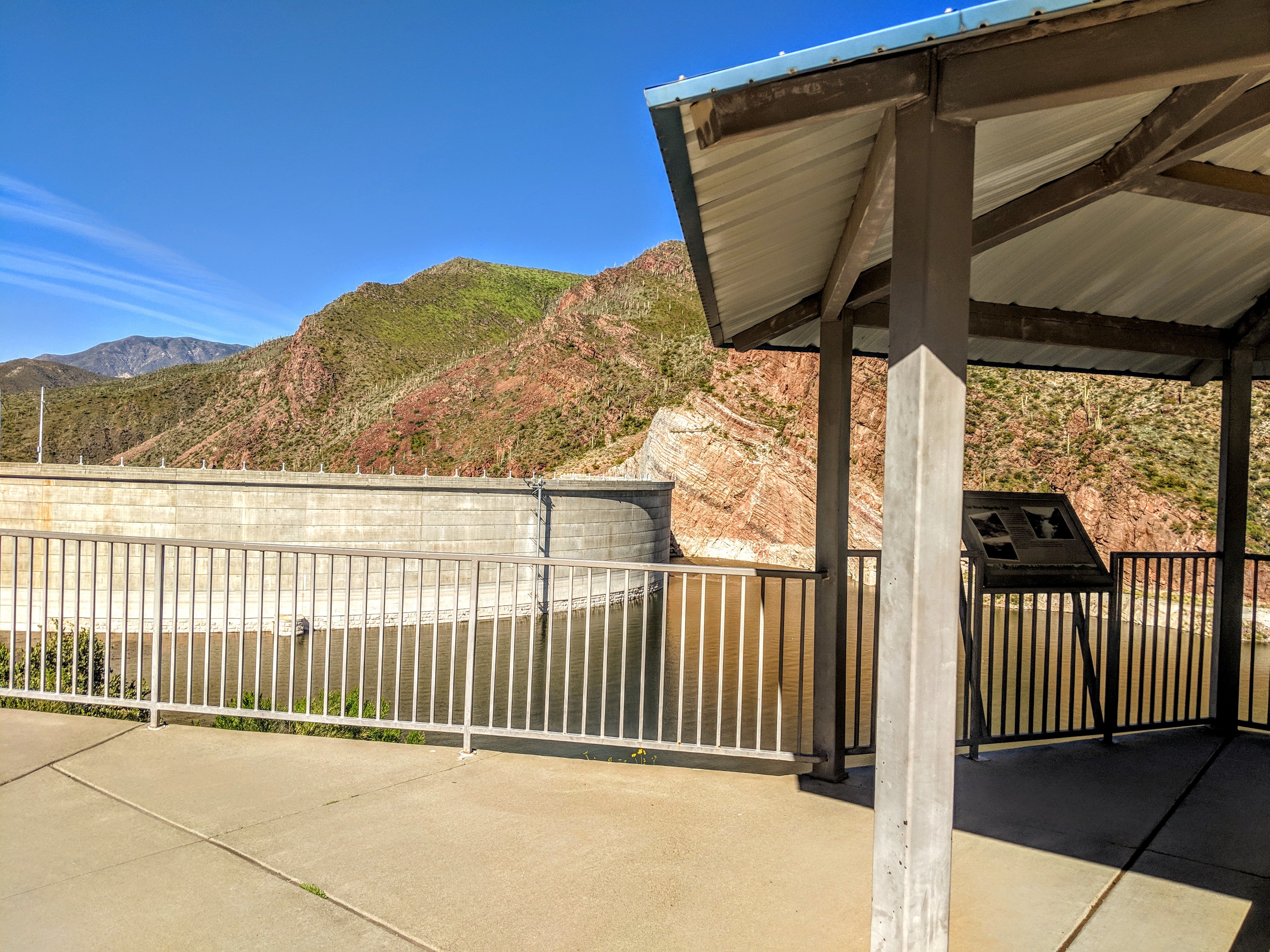
Roosevelt Dam, Apache Lake Marina, Tortilla Flats, Tonto National Monument (Cliff Dwellings), Roosevelt Lake, Apache Trail Scenic Byway (AZ Hwy 88), Spines to Pines Scenic Byway (AZ Hwy 288). The City of Globe and Town of Payson are only an hour away.
Location
Burnt Corral Campground is located in Arizona
Directions
Access to Burnt Corral from Tortilla Flat HWY88E/Apache Trail is currently closed, please use an alternative route. From the Mesa area: Head to AZ-87N for approximately 59 miles. Turns right onto AZ-188S for 31.6 miles. Turn right onto AZ-88W for 6 miles and Burnt Corral Recreation Site will be on your right. __From the Globe area:__Take AZ-188 west for 30 miles to its junction with AZ-88. Turn left onto AZ-88, and continue past historic Roosevelt Dam (unpaved) for 5 miles to Forest Road FR 183/ Burnt Corral Recreation Site. Turn right and continue to site.__
Address
28079 N. AZ HWY 188
Roosevelt, AZ 85545
Coordinates
33.627381 N
111.203326 W
Access
- Drive-InPark next to your site
- Walk-InPark in a lot, walk to your site.
- Boat-InSites accessible by watercraft.
Stay Connected
- WiFiUnknown
- VerizonUnknown
- AT&TUnknown
- T-MobileUnknown
Site Types
- Tent Sites
- RV Sites
- Standard (Tent/RV)
- Group
Features
For Campers
- Trash
- Picnic Table
- Firewood Available
- Drinking Water
- Toilets
- Alcohol
- Pets
- Fires
For Vehicles
- Sanitary Dump
- Water Hookups

